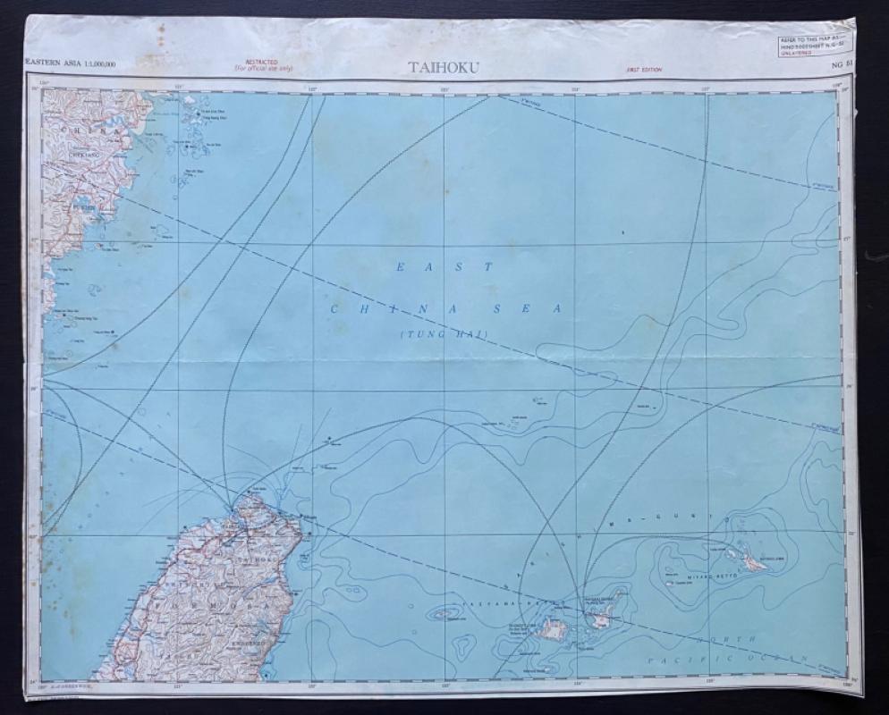
Map of Taihoku: North Taiwan with part of mainland China 1943
Book Description
Map of Taihoku: North Taiwan, part of mainland China and the island group called Sakishima-Gunto by the Japanese. Published by the US Army as part of a series of International Maps of the World 1943. Size 63 by 51. Scale 1:1,000,000. Coded NG51. The coastal area of China (part of Chekiang and Fukien) and several offshore Chinese islands. The words “Restricted for official use only” are printed above the map. A 1st edition. Some foxing or age toning
Author
US Army
Date
1943
Publisher
US Army
Condition
Good
Other books
If you liked the book you've just seen, you might be interested in other books from the same dealer below.
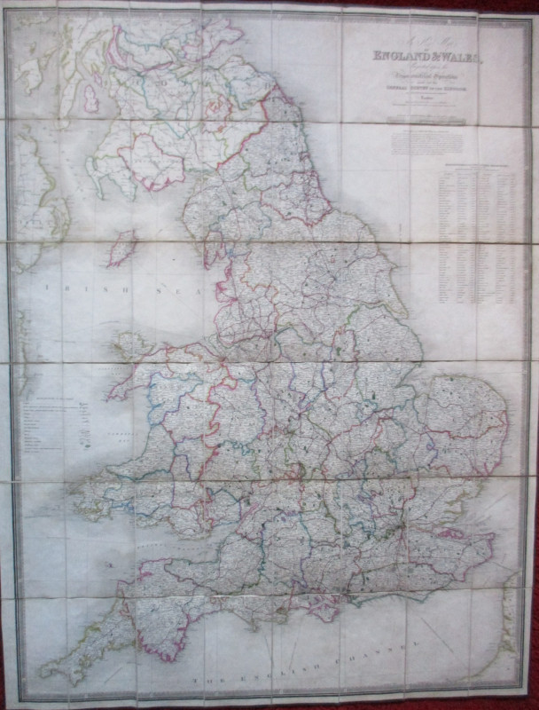
Map of Scotland with a Plan of Edinburgh 1834
Baldwin and Cradock
Baldwin and Cradock
£275.00
Offered by Arthur Hook
Parliamentary Reports on London and the Survey of...
House of Commons
Hansard
£235.00
Offered by Arthur Hook
La République Française en LXXXVIII départemens: d...
Une Societé de Geographes
Une Societé de Geographes
£450.00
Offered by Arthur Hook
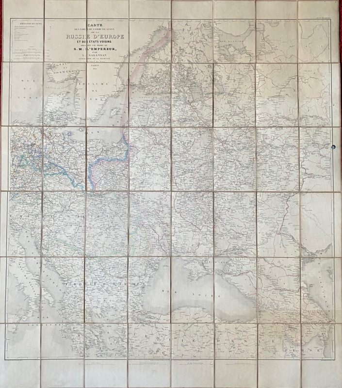
Map of European Russia and neighbouring states 185...
Sagansan
Avril Frėres
£185.00
Offered by Arthur Hook
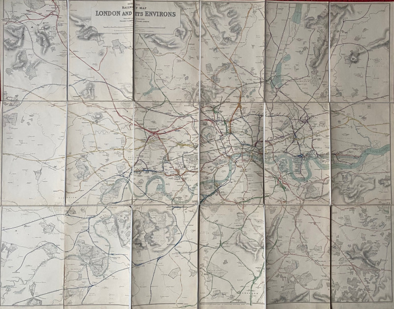
Railway Clearing House Map of London 1915
Emslie
Railway Clearing House
£195.00
Offered by Arthur Hook
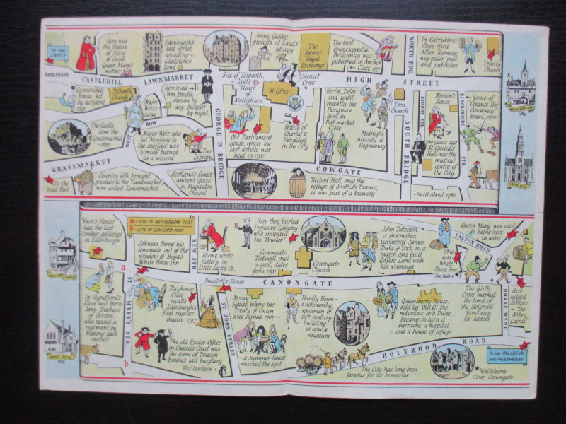
The Royal Mile, Edinburgh. A map displaying the wh...
Sayer
Strand Magazine
£40.00
Offered by Arthur Hook
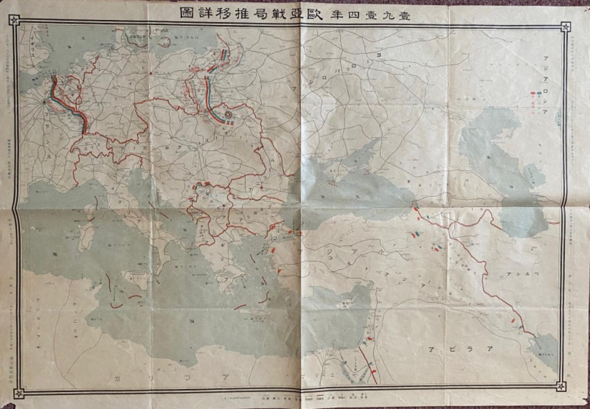
Japanese Map of the First World War in Europe and...
Hasegawa
Scichisaku
£75.00
Offered by Arthur Hook
Friends of the PBFA
For £10 get free entry to our fairs, updates from the PBFA and more.
Please email info@pbfa.org for more information