Maps of Old London


Book Description
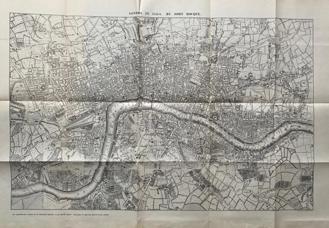
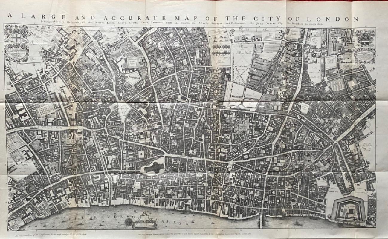
Maps of Old London edited by G E Mitton and published by A & C Black, London 1908. In stiff red cloth-covered boards size 29 by 23 cm. With 27 pages of text on the nine maps illustrated in the book, several of which are published here in good quality large facsimiles. Mitton describes it as “an atlas of Old London maps, showing the growth of the City through six successive centuries”. The maps are Wyngaerde’s map or panorama circa 1545- in three sections; Agas’ London in the Times of the Tudors, opening to 97 by 44 cm.; a section of the Agas map; Hoefnagel’s map of 1572; Norden’s map of 1593, along with his map of Westminster; Fairhorne and Newcourt’s map of 1658, opening to 43 by 33 cm.; London in the Time of the Stuarts- Ogilby’s map of the 1670s, a folding map opening to 96 by 62 cm.; and Rocque’s map of 1741-45, opening to 85 by 57 cm. Maps Good to VG condition with occasional age toning to the reverse, binding and text Good with recent repairs to the spine and the hinges of a couple of the maps. Original owner’s signature to the front endpaper (William Piercey, writer and missionary).
Author
Mitton
Date
1908
Binding
Hardback
Publisher
A & C Black
Condition
Good
Pages
36
Other books
If you liked the book you've just seen, you might be interested in other books from the same dealer below.
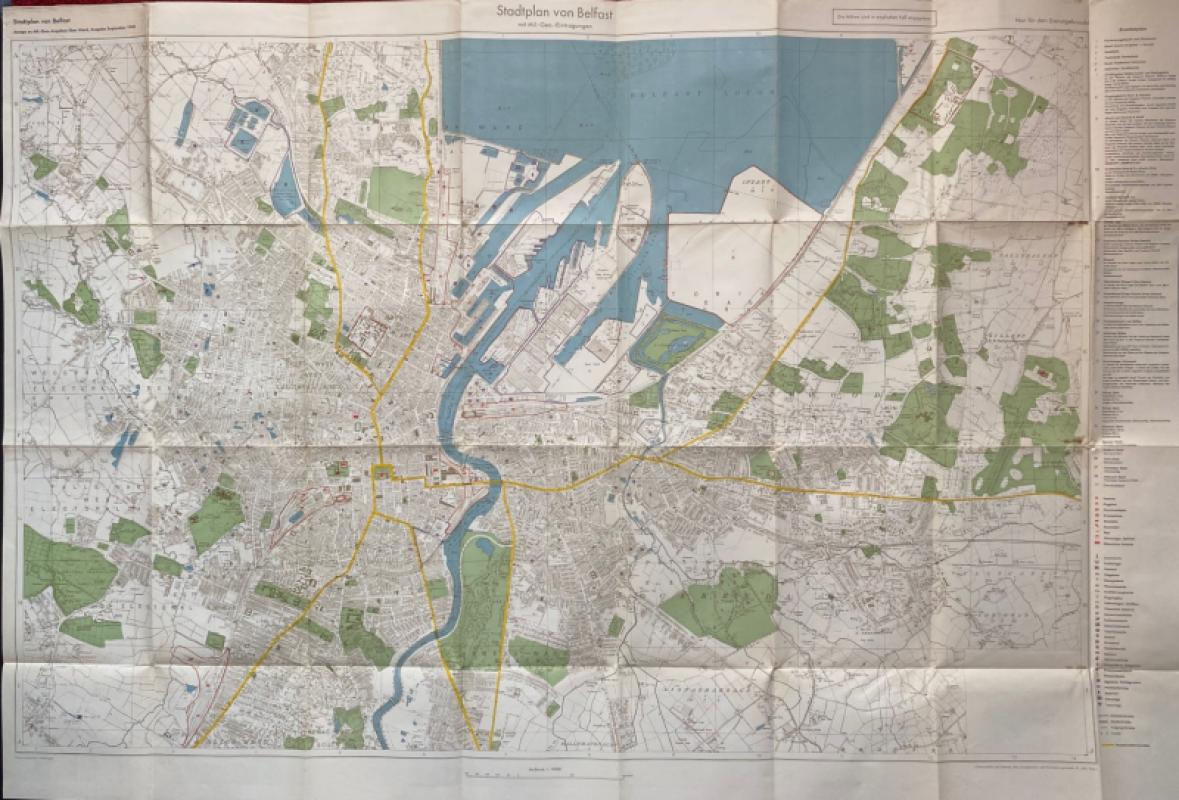
City Map of Belfast (Stadtplan von Belfast) 1940
German General Staff,
German General Staff,
£135.00
Offered by Arthur Hook
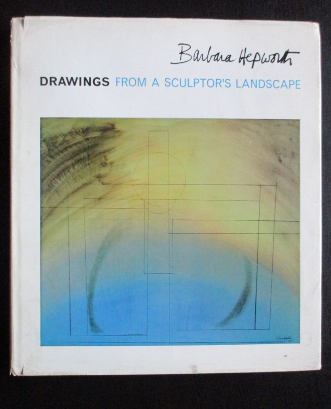
Barbara Hepworth Drawings from a Sculptor’s Landsc...
Hepworth
Cory Adams and Mackay
£45.00
Offered by Arthur Hook
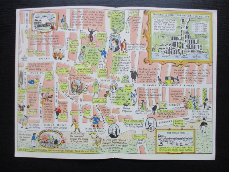
A Map of Brighton “The Queen of Watering Places” f...
Sayer
Strand Magazine
£40.00
Offered by Arthur Hook
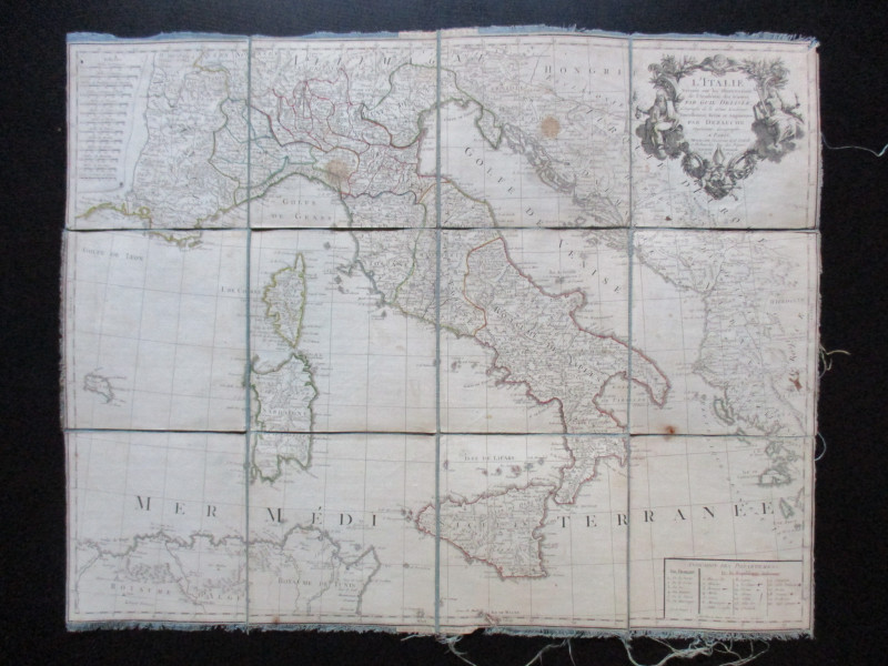
Map of Italy. L'Italie Dresse sur les Observations...
Delisle
Dezauche
£105.00
Offered by Arthur Hook
Friends of the PBFA
For £10 get free entry to our fairs, updates from the PBFA and more.
Please email info@pbfa.org for more information