La République Française en LXXXVIII départemens: dictionnaire géographique et méthodique

Book Description
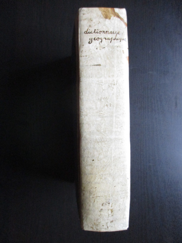
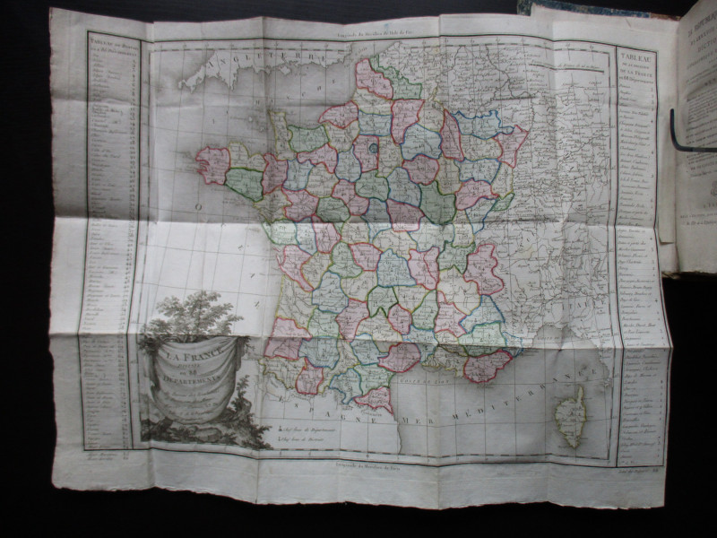
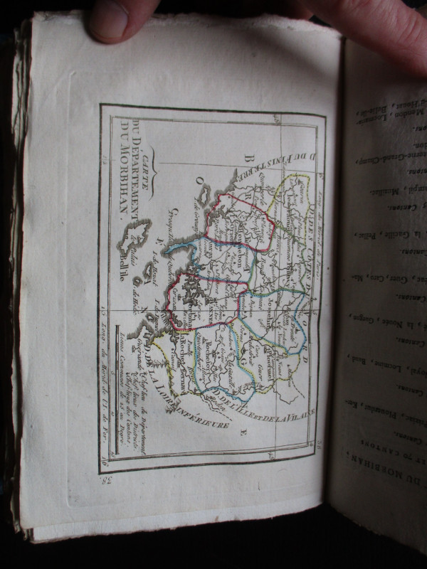
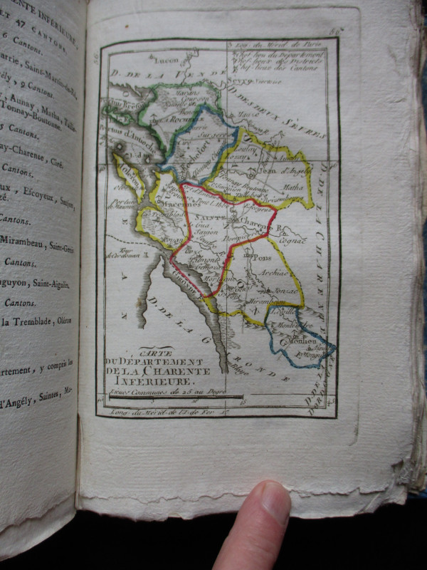
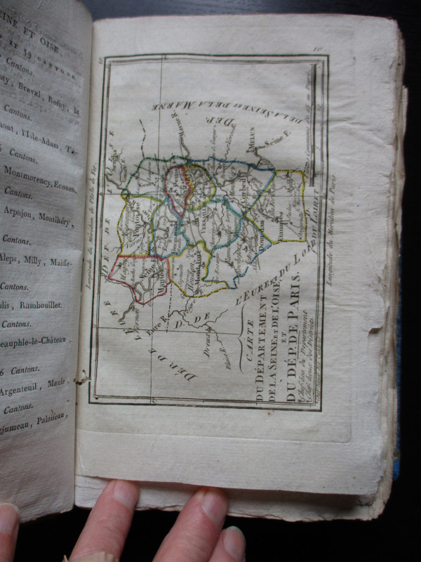
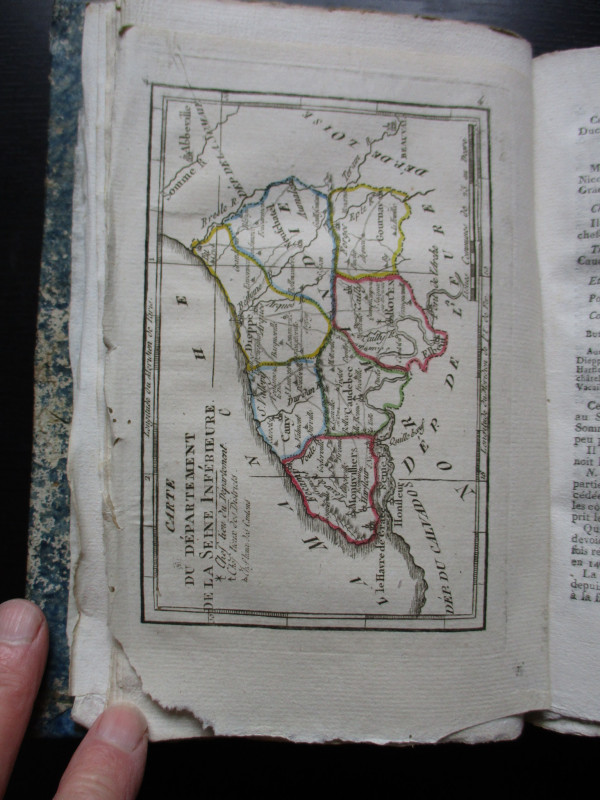
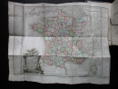
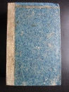
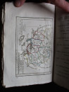
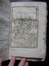
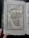
La République Française en LXXXVIII départemens: dictionnaire géographique et méthodique, destiné aux administrateurs, négocians, gens d'affaires, et a ceux qui étudient la géographie de la France by Une Societé de Geographes, Paris. Dated year 3 of the Republic (1794), the 3rd edition. In stiff marbled boards with a vellum spine, size 22 by 14 cm. 462 pages. Title written in ink to the spine. With a folding map of France and maps of all 88 departments (two of the maps cover two departments each), therefore complete with all 87 maps. Maps hand-coloured and detailed. Some engraved by Tardieu, others unattributed. The text has information on the main towns and a summary of the history, economy and geography of each department. This was probably one of the first atlases to show these departments and to describe their importance in the new France. At the back of the index is a folding table or chart that includes details of the size, population, administrative divisions, towns and the number of citizens eligible to bear arms. All edges rough-cut. One or two pages are loose but overall the binding, text and maps are all in VG condition. A fascinating atlas and geography of revolutionary France.
Author
Une Societé de Geographes
Date
1794
Binding
Hardback
Publisher
Une Societé de Geographes
Pages
462
Other books
If you liked the book you've just seen, you might be interested in other books from the same dealer below.

La République Française en LXXXVIII départemens: d...
Une Societé de Geographes
Une Societé de Geographes
£450.00
Offered by Arthur Hook
Maps, plans and views from Elphinstone’s Account o...
Elphinstone
Eyre and Spottiswoode
£525.00
Offered by Arthur Hook
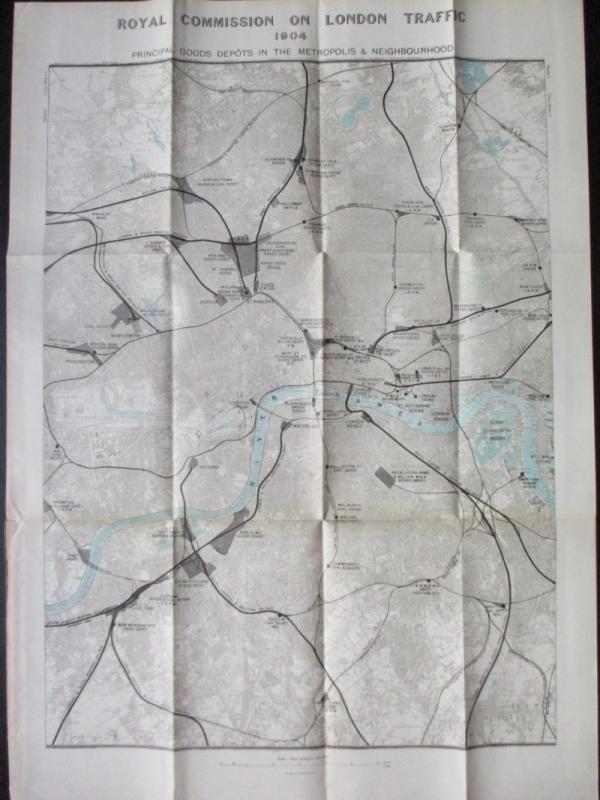
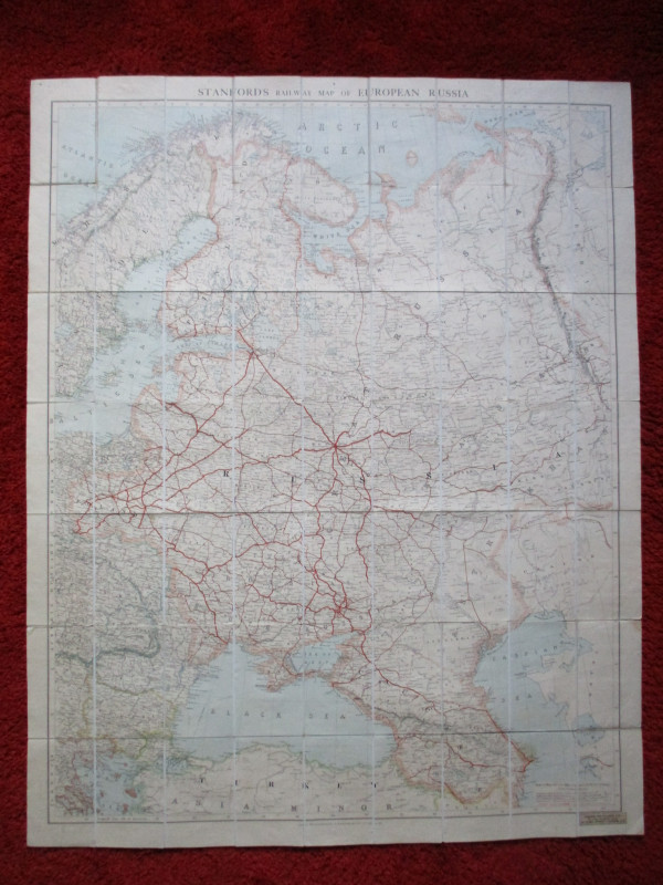
Three Maps showing the position of the Principal G...
Royal Commission on London Traffic
Hansard
£150.00
Offered by Arthur Hook
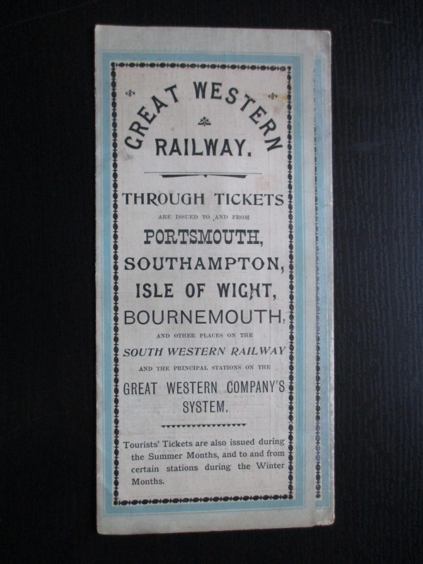
The Great Western Railway of England. Train servic...
GWR
Great Western Railway
£45.00
Offered by Arthur Hook
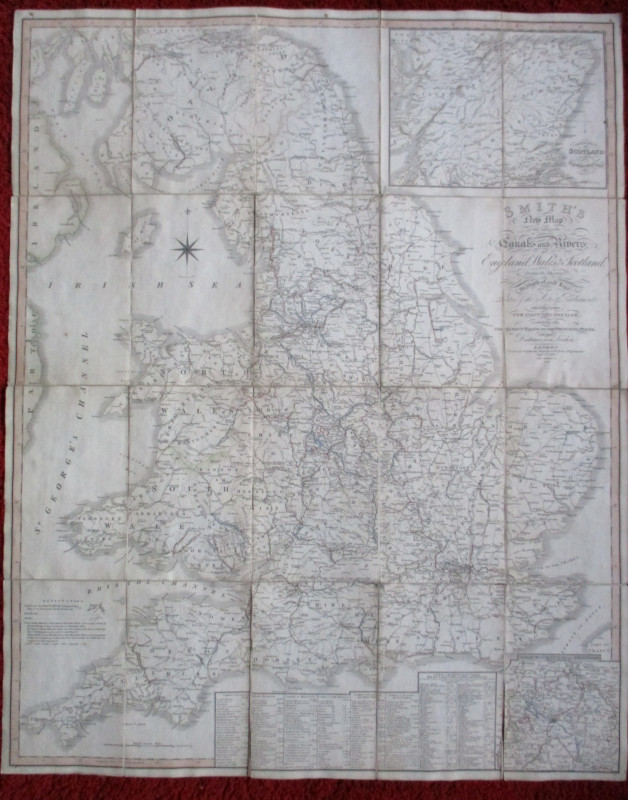
Carte Generale des Chemins de la France et de l’Al...
Vuillemin
Logerot
£70.00
Offered by Arthur Hook
Friends of the PBFA
For £10 get free entry to our fairs, updates from the PBFA and more.
Please email info@pbfa.org for more information