US Army Air Forces Map of China


Book Description
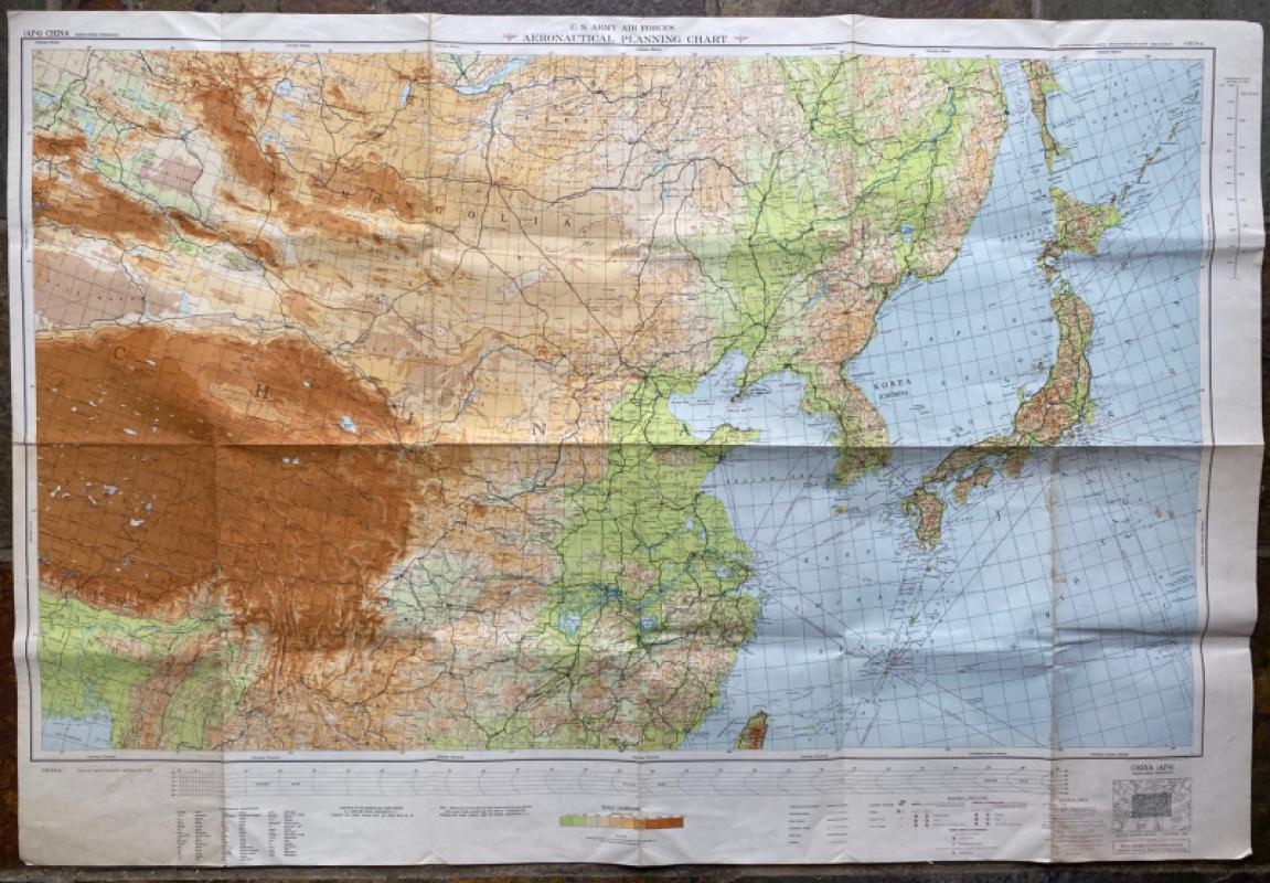
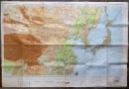
US Army Air Forces Map of China. Published by the Aeronautical Chart Service USAAF Washingto February 1945. On paper size 118 by 81 cm. Scale 1:5,000,000. Coded AP6 China and revised in April 1947. A very large and detailed map. Colour. With a key to to aircraft facilities including civil and military bases, landing strips, airports and airfields, seaplane bases etc. a key to the surfaces, lighting, length and elevation of the various airfields; a key to Chinese terms used in the map and their English language equivalents; and another key to cities, towns, roads, railways, important trails and boundaries. Includes Korea and most of Japan. A snapshot of China on the cusp of change. Has been folded. Good to VG condition
Author
Aeronautical Chart Service USAAF
Date
1947
Publisher
Aeronautical Chart Service USAAF
Condition
Good to VG
Other books
If you liked the book you've just seen, you might be interested in other books from the same dealer below.
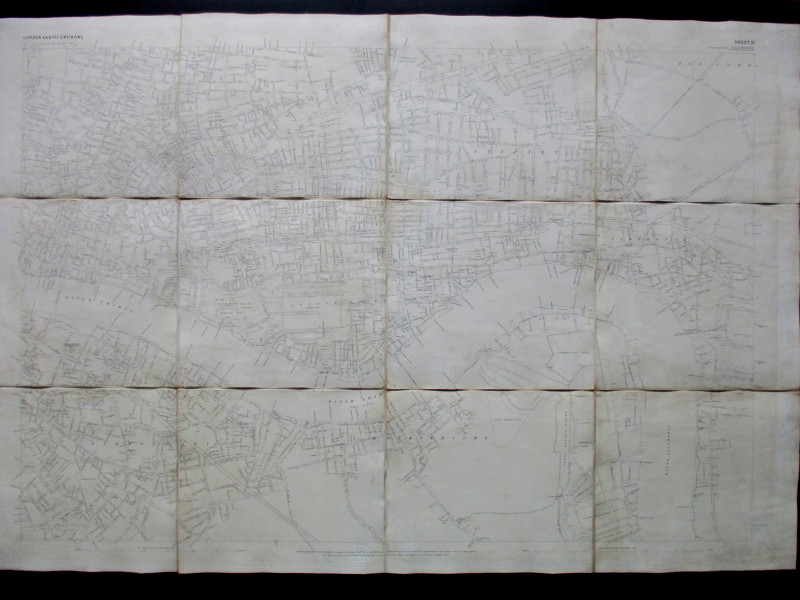
Ordnance Survey map of City of London (part) with...
Yelland
Ordnance Survey
£55.00
Offered by Arthur Hook
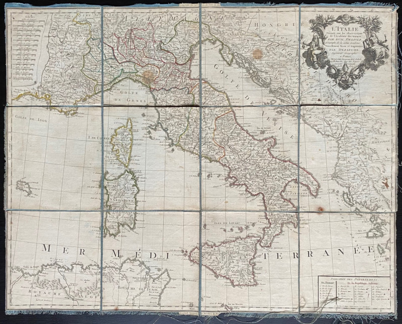
Map of Italy 1802. L'Italie Dresse sur les Observa...
Delisle
Dezauche
£105.00
Offered by Arthur Hook


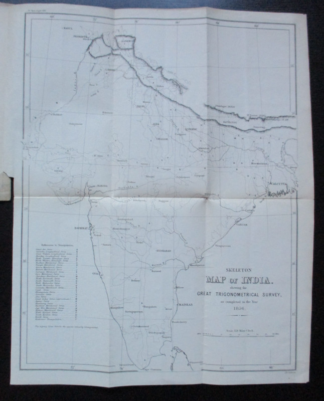
Geodesy; Especially Relating to the Great Trignome...
Strange
Royal United Institution
£45.00
Offered by Arthur Hook
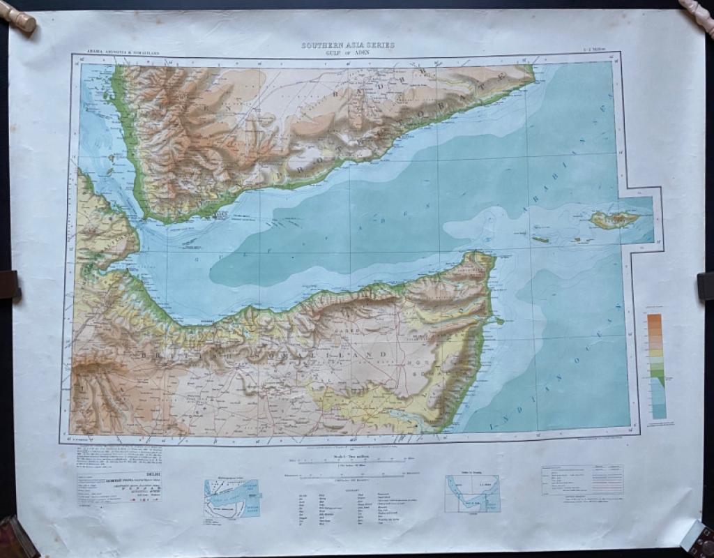
Map of The Gulf of Aden with parts of Arabia, Abys...
Couchman
Survey of India
£50.00
Offered by Arthur Hook
Friends of the PBFA
For £10 get free entry to our fairs, updates from the PBFA and more.
Please email info@pbfa.org for more information