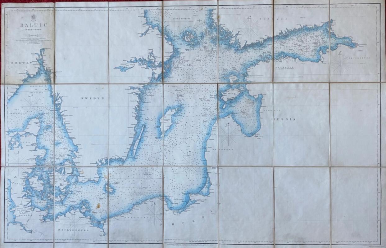
Map of the Baltic 1854
Book Description
Map of the Baltic 1854. An Index Chart published by the Hydrographic Office of the British Admiralty, London March 1854. Engraved by J & C Walker. On folding linen in 18 sections, size 100 by 66 cm. Some colour. Covers an area from Denmark to the southern part of the Sea of Bothnia. The map includes fathom lines and shows soundings in fathoms. The chart would appear to have been produced just before the outbreak of war with Russia. Lacks original boards or covers and has a couple of clear stains around 1 cm. in diameter. Good condition.
Author
Anon
Date
1854
Publisher
Hydrographic Office of the British Admiralty
Condition
Good
Other books
If you liked the book you've just seen, you might be interested in other books from the same dealer below.
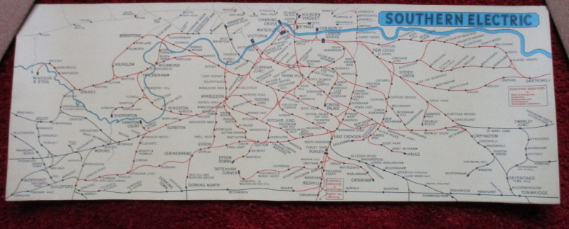
London Railway Map Carriage Print. Southern Electr...
Southern Electric
Southern Electric
£90.00
Offered by Arthur Hook
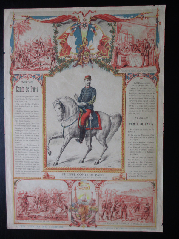
French Royalist Publicity Poster Philippe Comte de...
Philippe Comte de Paris
Thomas and Conferon
£45.00
Offered by Arthur Hook
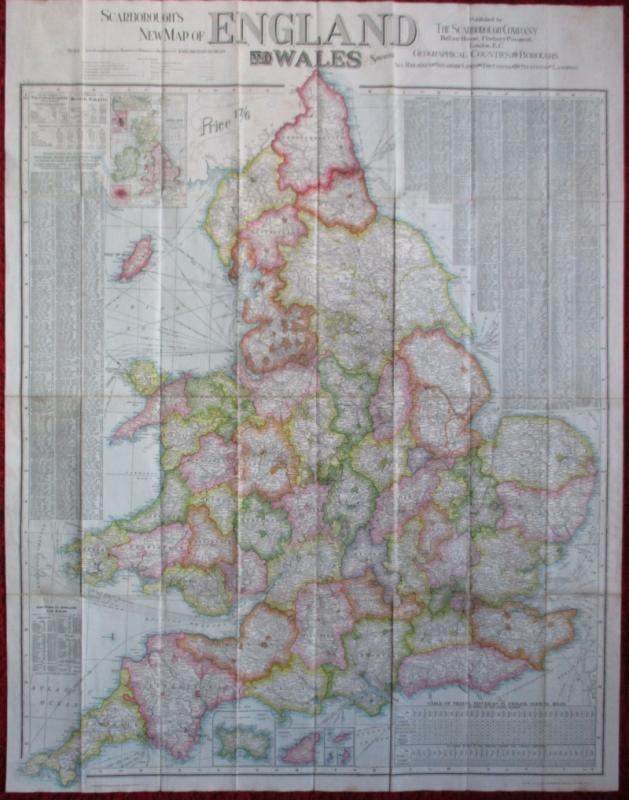
Scarborough’s Map of the British Isles shewing Geo...
Anon
The Scarborough Company
£100.00
Offered by Arthur Hook
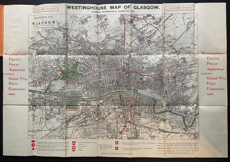
The Westinghouse Map of Glasgow: Glasgow Internati...
Anon
Westinghouse
£100.00
Offered by Arthur Hook
Friends of the PBFA
For £10 get free entry to our fairs, updates from the PBFA and more.
Please email info@pbfa.org for more information