Aeriel map of Tokyo and its Environs 1928


Book Description
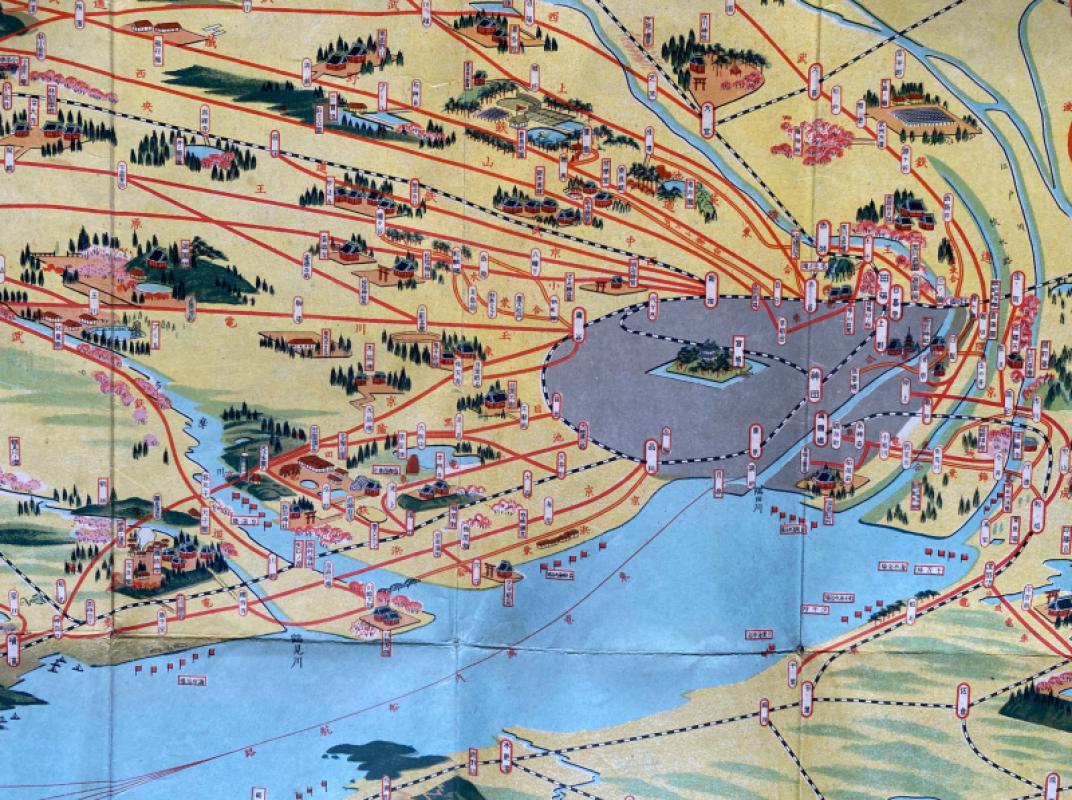
A map of Tokyo and its Environs by Toshiyoshi Inagaki, published by Kudan Shubo, Tokyo 1928. On paper size 79 by 55 cm. Colour. The map is in the form of an aerial view with Tokyo Bay in the foreground, Mount Fuji to the left, Chiba to the right and distant mountains beyond. A mixture of reality and imagination, the map is more of a stylised image rather than an attempt at geographical accuracy. Text and photographs to the reverse. Folds into a small decorated paper wallet type cover with publisher’s details etc. Occasional closed edge nicks and one small area of sky with image loss, otherwise good condition. Has been folded.
Author
Toshiyoshi Inagaki
Date
1928
Publisher
Kudan Shubo
Condition
Good
Other books
If you liked the book you've just seen, you might be interested in other books from the same dealer below.

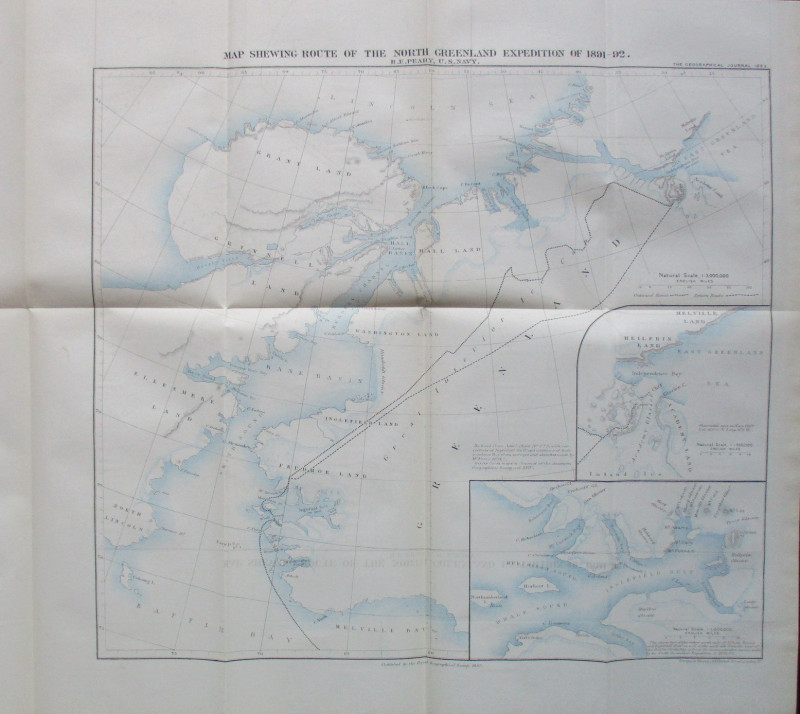
Map Shewing Route of the North Greenland Expeditio...
Peary
Royal Geographical Society
£55.00
Offered by Arthur Hook

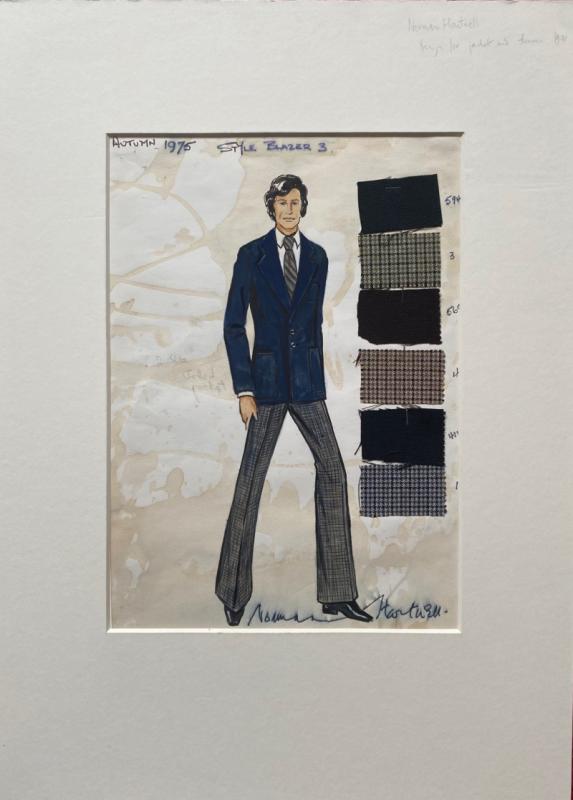
Norman Hartnell original sketched design with fabr...
Hartnell
Unpublished
£175.00
Offered by Arthur Hook
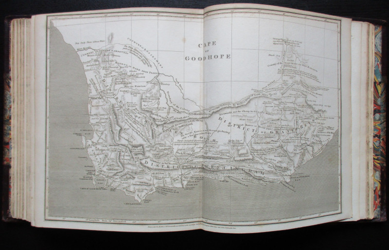
The Atlas Volume from The Cyclopaedia or Universal...
Rees
Longman, Hurst, Rees, Orme and Brown
£345.00
Offered by Arthur Hook
The Allied Military Missions in Berlin 1945-48
The Chief of Allied Liaison and Protocol Section
Allied Liaison and Protocol Section
£100.00
Offered by Arthur Hook
Friends of the PBFA
For £10 get free entry to our fairs, updates from the PBFA and more.
Please email info@pbfa.org for more information