Cruchley’s Railway and Telegraphic County Map of Monmouth
Book Description
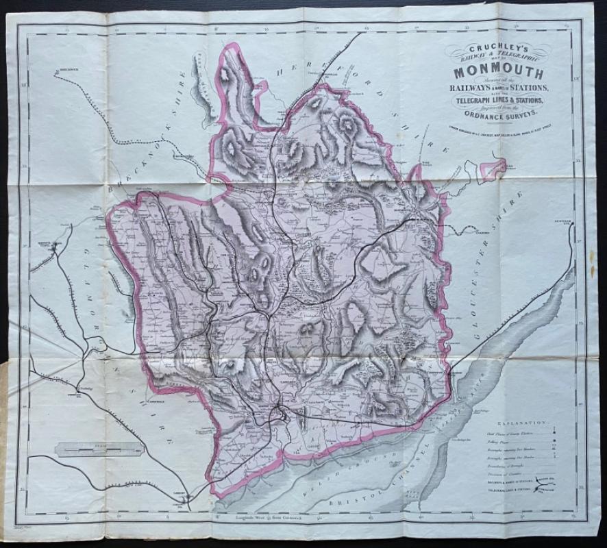
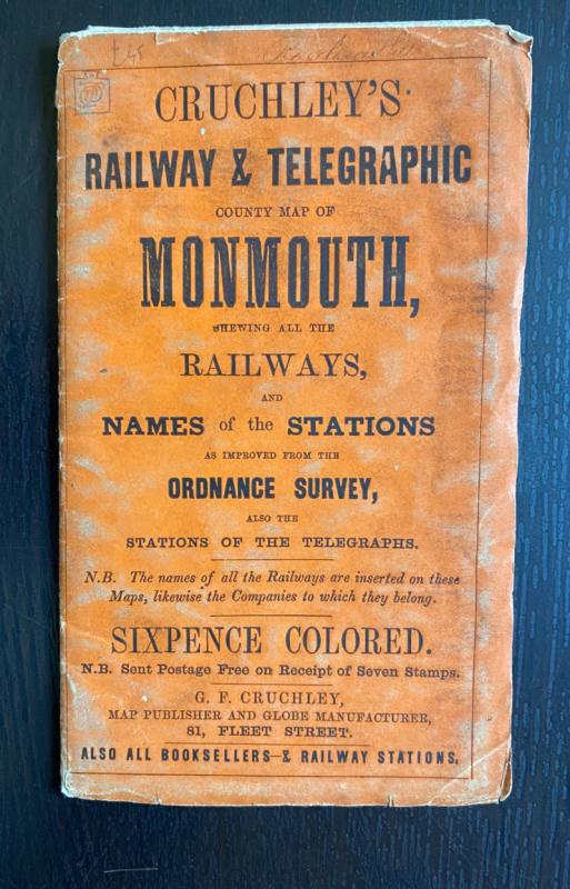
Cruchley’s Railway and Telegraphic County Map of Monmouth, shewing all the Railways and the Names of the Stations as improved from the Ordnance Survey, and the Stations of the Telegraphs published by G F Cruchley, London circa 1860. On paper size 57 by 51 cm. A key provides information on polling places, places of county elections, boroughs that return two MPs and those that return one, boundaries, railways and stations. The map predates the construction of the Wye Valley Railway. Heights are shown by shading or hachuring. Uncoloured. Folds into cloth covers with title and publisher’s details to the front. A couple of folds have been strengthened with clear archival standard tape to the reverse. Good condition.
Author
Cruchley
Date
1860
Publisher
Cruchley
Condition
Good
Other books
If you liked the book you've just seen, you might be interested in other books from the same dealer below.
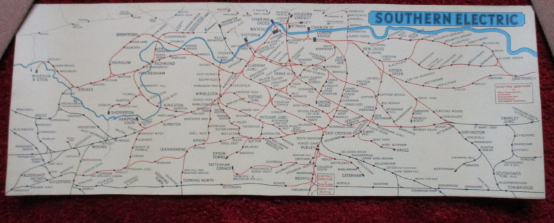
London Railway Map Carriage Print. Southern Electr...
Southern Electric
Southern Electric
£90.00
Offered by Arthur Hook
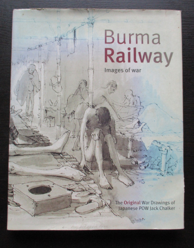
Burma Railway Images of War. The original war draw...
Chalker
Mercer Books
£45.00
Offered by Arthur Hook
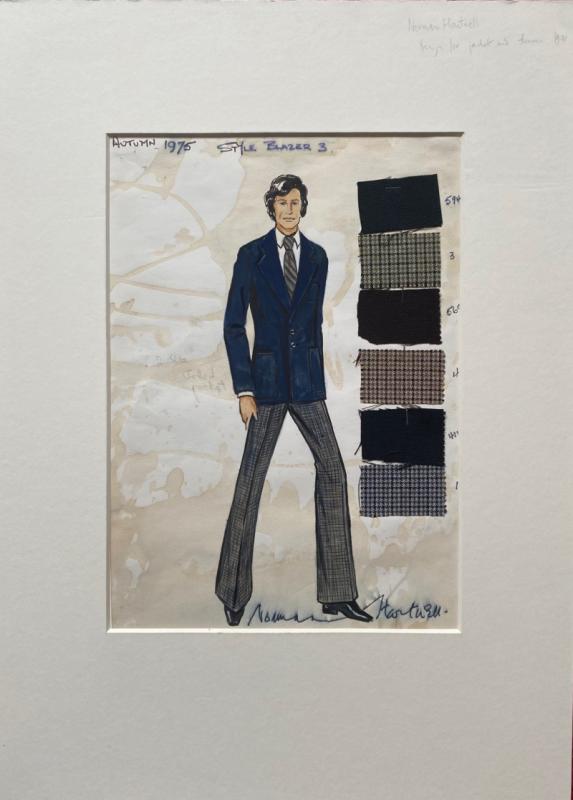
Norman Hartnell original sketched design with fabr...
Hartnell
Unpublished
£175.00
Offered by Arthur Hook
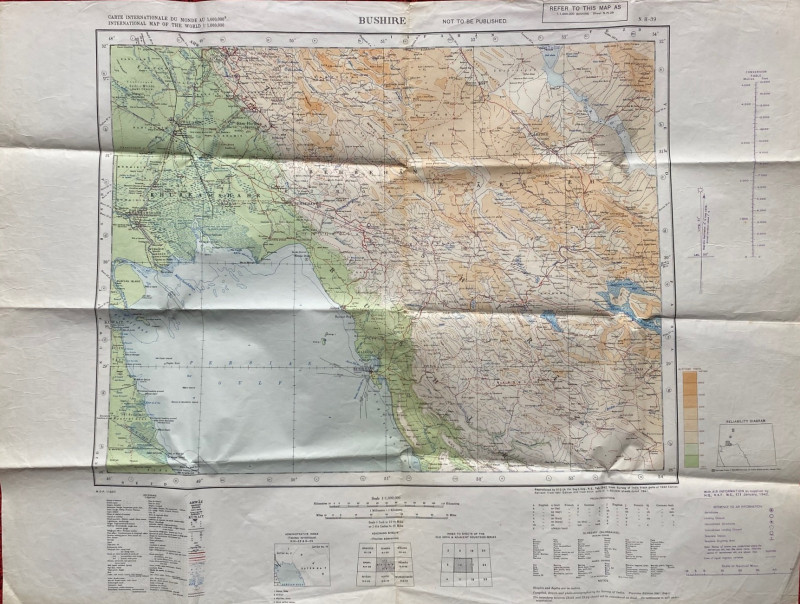
Map of Bushire (Persian Gulf) 1942
British War Office
British War Office
£75.00
Offered by Arthur Hook
Friends of the PBFA
For £10 get free entry to our fairs, updates from the PBFA and more.
Please email info@pbfa.org for more information