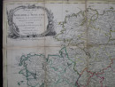
A New Map of the Kingdom of Ireland Divided into its Several Provinces
Book Description
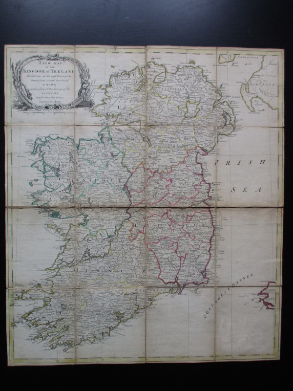
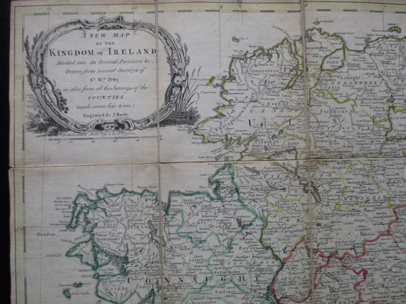
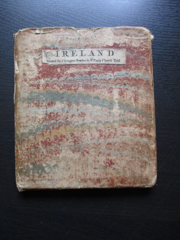
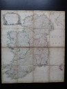
A New Map of the Kingdom of Ireland Divided into its Several Provinces etc., Drawn from Several Surveys of Sir William Petty as also from the Surveys of the Countys made since his time. Engraved by J Bayly. Published by Carrington Bowles, London circa 1790. On folding linen in 16 sections size 56 by 50 cm. Scale approximately 15 miles to the inch. Title is contained in a decorative cartouche. Some hand-colouring. Heights are shown by stylised hill symbols. With original marbled card slipcase, rubbed at edges and worn to reverse but still sound. Map in Good condition.
Author
Bayly
Date
1790
Publisher
Carrington Bowles
Illustrator
Bayly
Condition
VG
Other books
If you liked the book you've just seen, you might be interested in other books from the same dealer below.
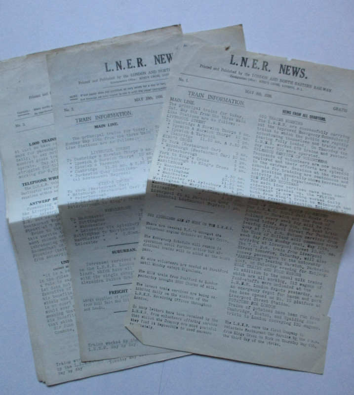
LNER General Strike Newsletter 1926
London and North Eastern Railway
London and North Eastern Railway
£50.00
Offered by Arthur Hook
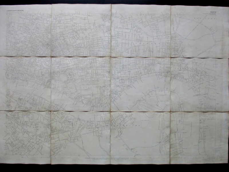
Ordnance Survey map of City of London (part) with...
Yelland
Ordnance Survey
£55.00
Offered by Arthur Hook
Friends of the PBFA
For £10 get free entry to our fairs, updates from the PBFA and more.
Please email info@pbfa.org for more information