Cruchley's New Map of France 1832
Book Description
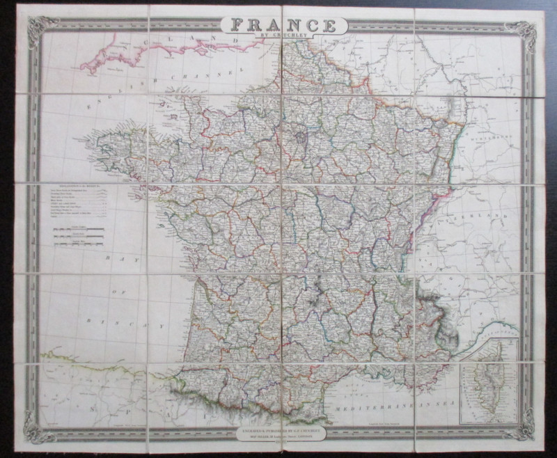
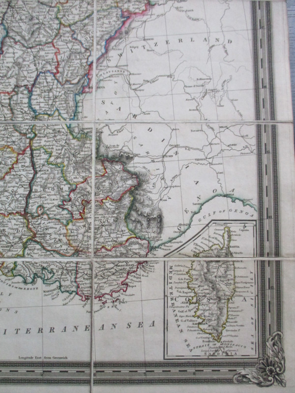
Cruchley's New Map of France exhibiting all the direct and cross roads with the post stations. Published by G Cruchley London 1832. A folding map on linen in 20 sections. Size 67.5 by 57 cm. Scales in French leagues French miles and English miles approximately 32 miles to the inch. Includes inset map of Corsica. Hand-coloured. A very detailed map. Owner's name in ink to reverse.Title on slipcase has section missing. Map VG in otherwise Good slipcase
Author
Cruchley
Date
1832
Publisher
Cruchley
Illustrator
Cruchley
Condition
VG
Other books
If you liked the book you've just seen, you might be interested in other books from the same dealer below.
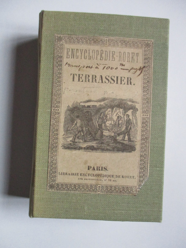
Nouveau Manual Complet du Terrassier et de l’Entre...
Etienne and Masson
Roret
£50.00
Offered by Arthur Hook
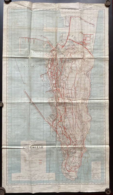
Plan of the Fortress and Peninsula of Gibraltar
British War Office & Air Ministry
British War Office & Air Ministry
£135.00
Offered by Arthur Hook
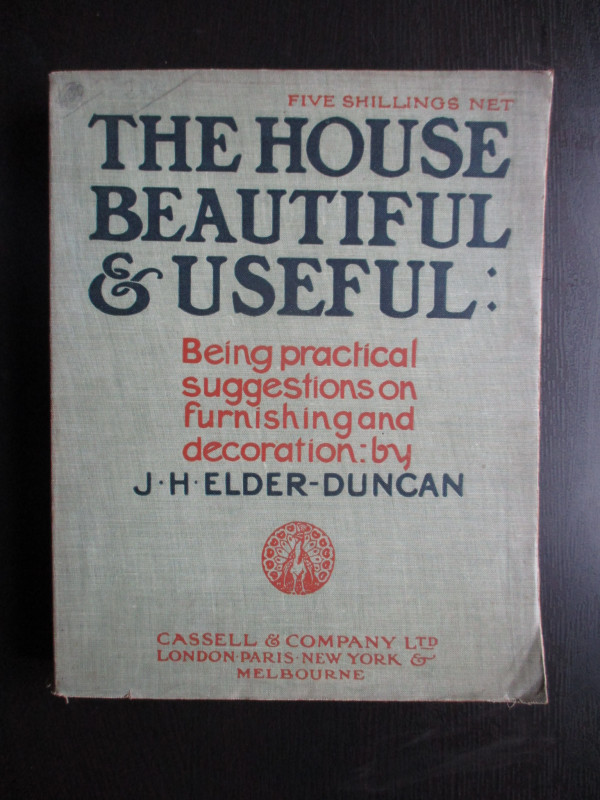
The House Beautiful and Useful: Being practical su...
Elder-Duncan
Cassell
£85.00
Offered by Arthur Hook
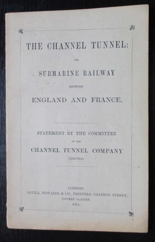
The Channel Tunnel or Submarine Railway between En...
Anon
Channel Tunnel Company
£85.00
Offered by Arthur Hook
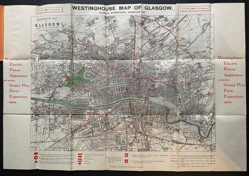
The Westinghouse Map of Glasgow: Glasgow Internati...
Anon
Westinghouse
£100.00
Offered by Arthur Hook
Friends of the PBFA
For £10 get free entry to our fairs, updates from the PBFA and more.
Please email info@pbfa.org for more information