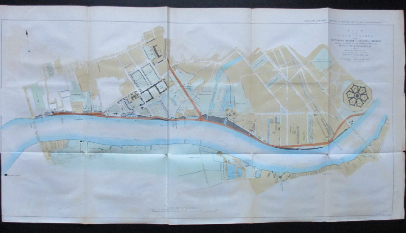
Map of London: Guide to the International Exhibition 1862
Book Description
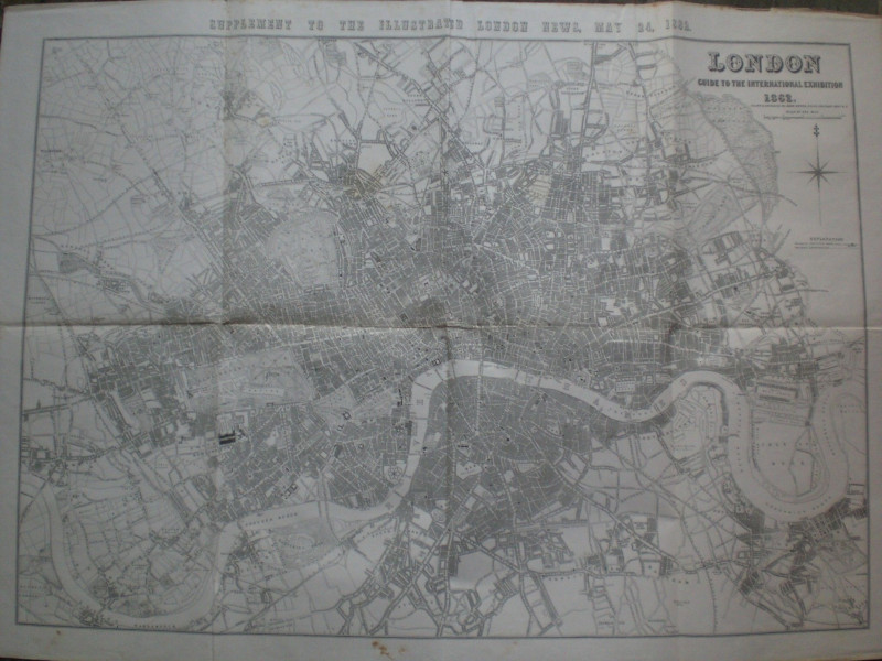
Map of London: Guide to the International Exhibition 1862, drawn and engraved by John Dower and published as a supplement to the Illustrated London News, May 24th 1862. On folding paper size 114 by 83 cm. Scale four inched to the mile. Uncoloured. Covers an area from Cricklewood in the north-west across to Stamford Hill and Hackney Marshes in the north-east and from Barnes to Blackheath in the south. A very detailed map with the names of most streets shown. A key gives information on railways completed and lines under construction. The reverse has been strengthened at a couple of folds with clear archival quality tape, a small hole filled and there are some minor creases but overall in Good condition.
Author
Dower
Date
1862
Publisher
1862
Illustrator
Dower
Condition
Good
Other books
If you liked the book you've just seen, you might be interested in other books from the same dealer below.
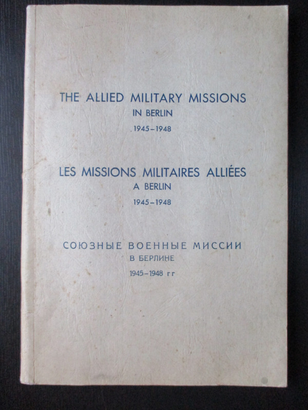
The Allied Military Missions in Berlin 1945-48
The Chief of Allied Liaison and Protocol Section
Allied Liaison and Protocol Section
£100.00
Offered by Arthur Hook
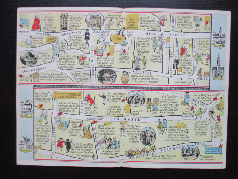
The Royal Mile, Edinburgh. A map displaying the wh...
Sayer
Strand Magazine
£40.00
Offered by Arthur Hook
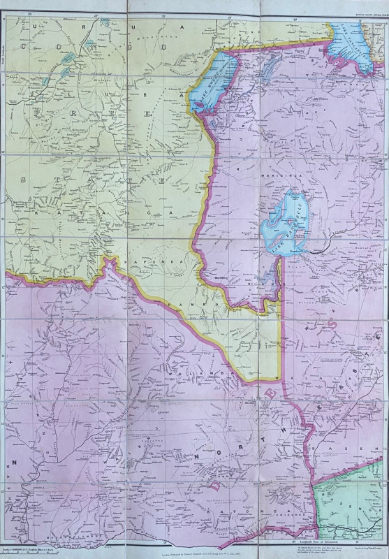
Map of Rhodesia 1903. British South Africa & Rhode...
Stanford
Stanford
£100.00
Offered by Arthur Hook
Friends of the PBFA
For £10 get free entry to our fairs, updates from the PBFA and more.
Please email info@pbfa.org for more information