Books For Sale
List Results
Showing 25 - 48 out of 212
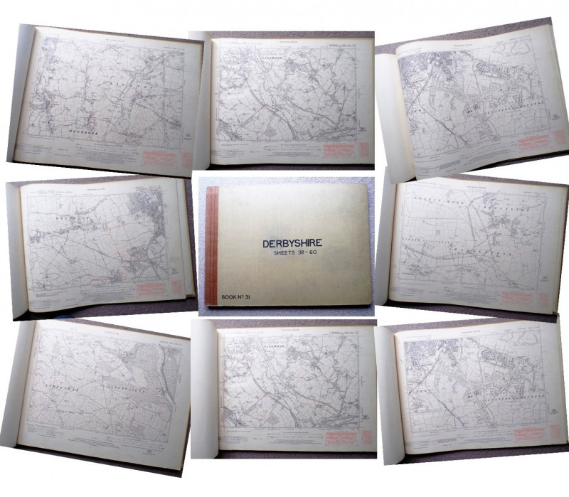
52 ORDNANCE SURVEY MAPS OF DERBYSHIRE
National Parks and Access to the Countryside Act 1949
1949
£150.00
Offered by Andrew Cox
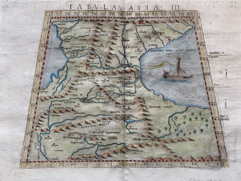
Ptolemy Map of the Caucasus Region: Armenia and pa...
Ptolomey
Pirckheimer
£85.00
Offered by Arthur Hook
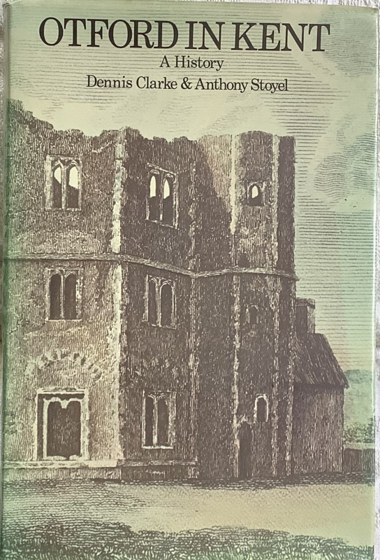
Otford In Kent
Dennis Clarke & Anthony Stoyel
Otford and District Historical Society
£18.00
Offered by Colin Baker Books for the Collector
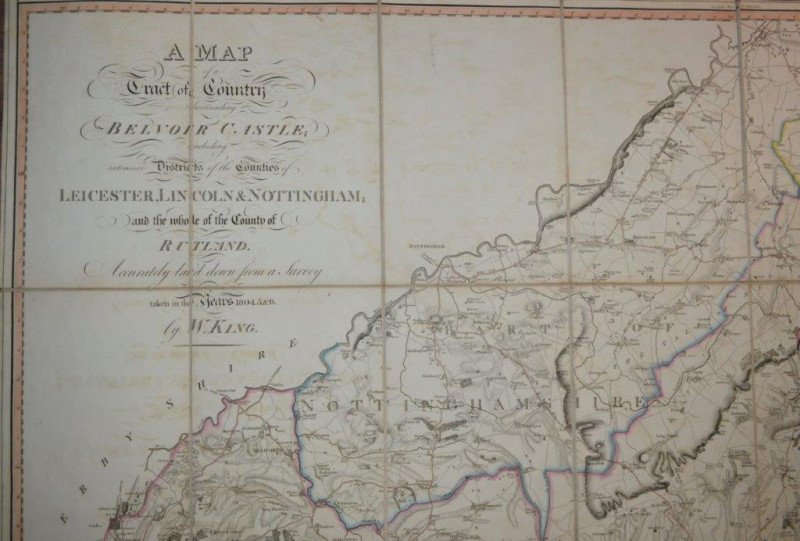
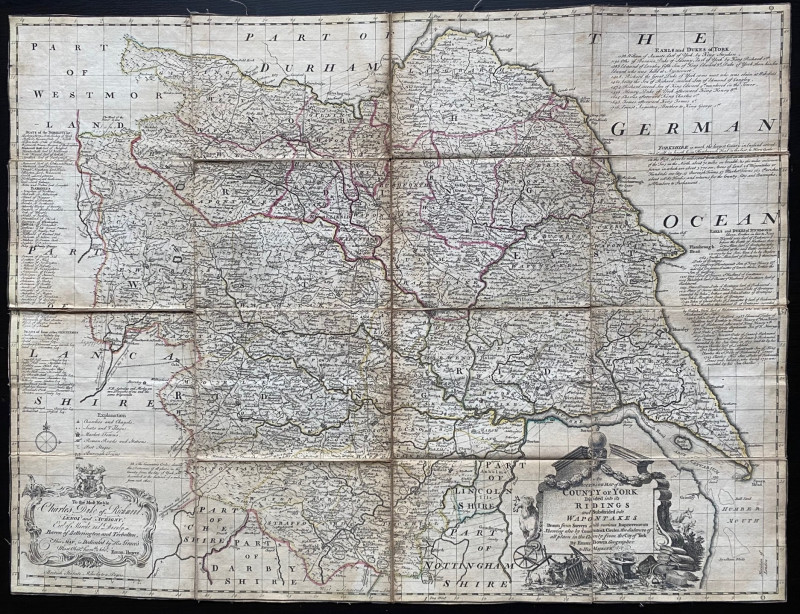
A Map of a Tract of Country Surrounding Belvoir Ca...
KING (William)
London: Engraved and sold by W. Faden, published Knipton, Nov. 8th,
£950.00
Offered by Forest Books
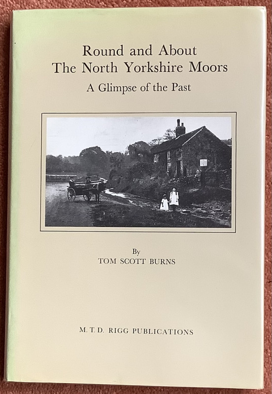
Round and About The North Yorkshire Moors. A Glimp...
Tom Scott Burns
M T D Rigg Publications Guiseley
Reserved
Offered by Colin Baker Books for the Collector
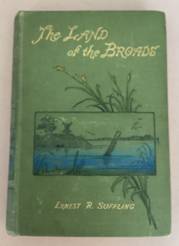
The LAND OF THE BROADS with MAP
ERNEST R. SUFFLING
Benjamin Perry
£60.00
Offered by Black Cat Bookshop
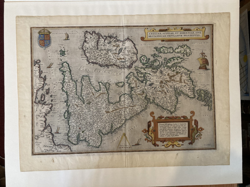
ANGLIAE, SCOTIAE, ET HIBERNIAE, SIVE BRITANNICAR:...
Abraham Ortelius
Antwerp,
£1000.00
Offered by Graham York Rare Books
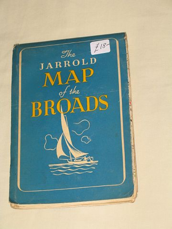
The Jarrold Map of the Broads: What to Do on the N...
Hands, Freda (drawn by)
Jarrold & Sons Ltd.; Norwich, Norfolk
£18.00
Offered by Bookbarrow
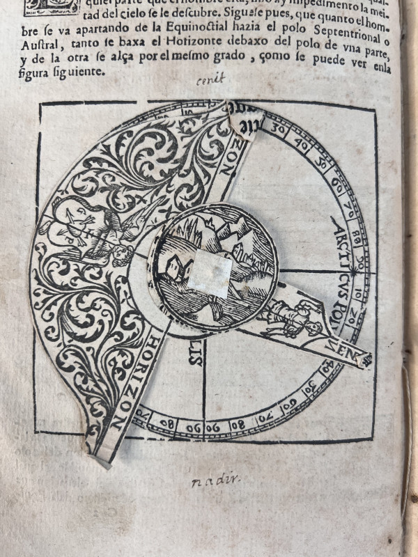
COSMOGRAPHIA, per gemmam Phrysium, apud Louaniense...
[ASTRONOMY]; APIANI, Petri [Petrus Apianus]:
Antwerp: Arnoldo Berckmâno [Arnold Birckmann].
£7250.00
Offered by Sky Duthie Rare Books
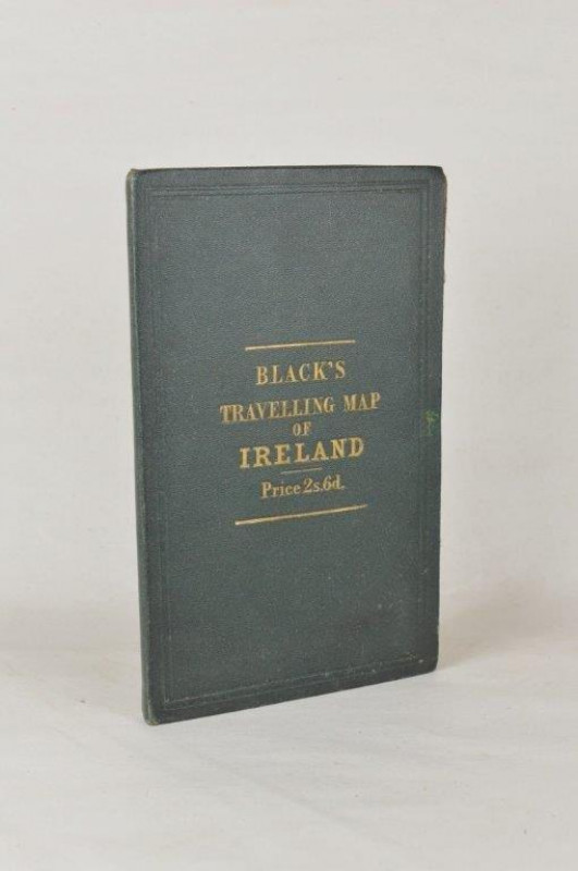
Black’s Travelling Map of Ireland.
IRELAND. BLACK (A. & C.)
Edinburgh: A. & C. Black,
£85.00
Offered by Forest Books
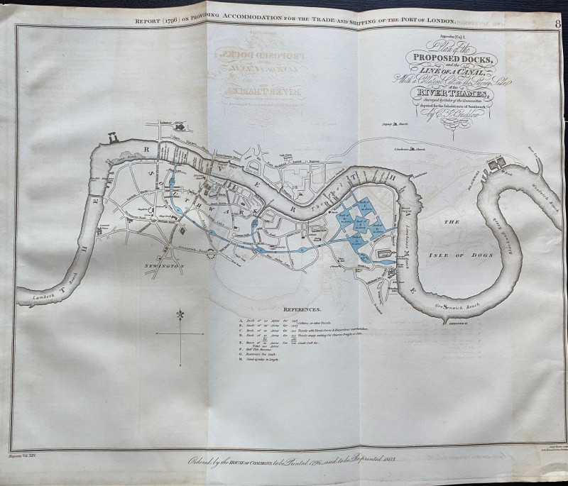
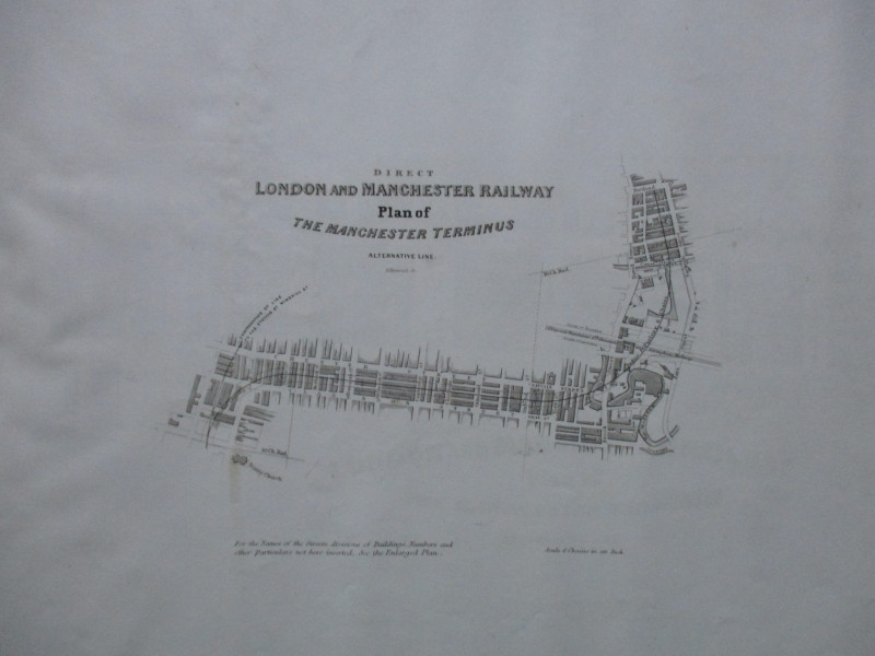
A Plan of the Proposed Docks and Line of a Canal w...
Cracklow
Hansard
£95.00
Offered by Arthur Hook
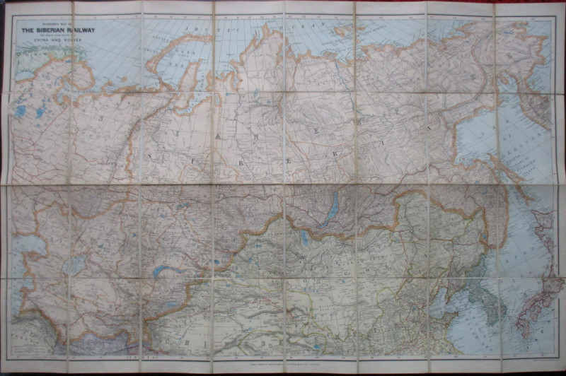
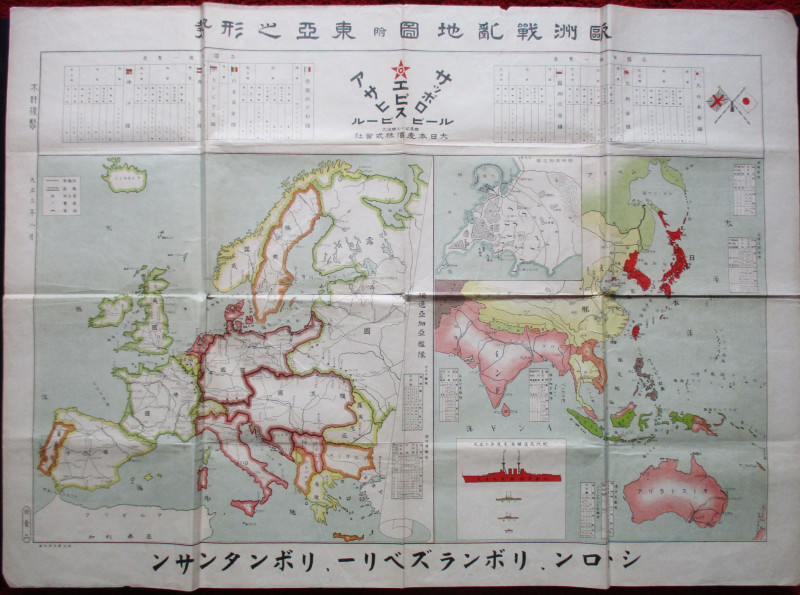
Stanford’s Map of the Siberian Railway: The Great...
Stanford
Stanford
£595.00
Offered by Arthur Hook
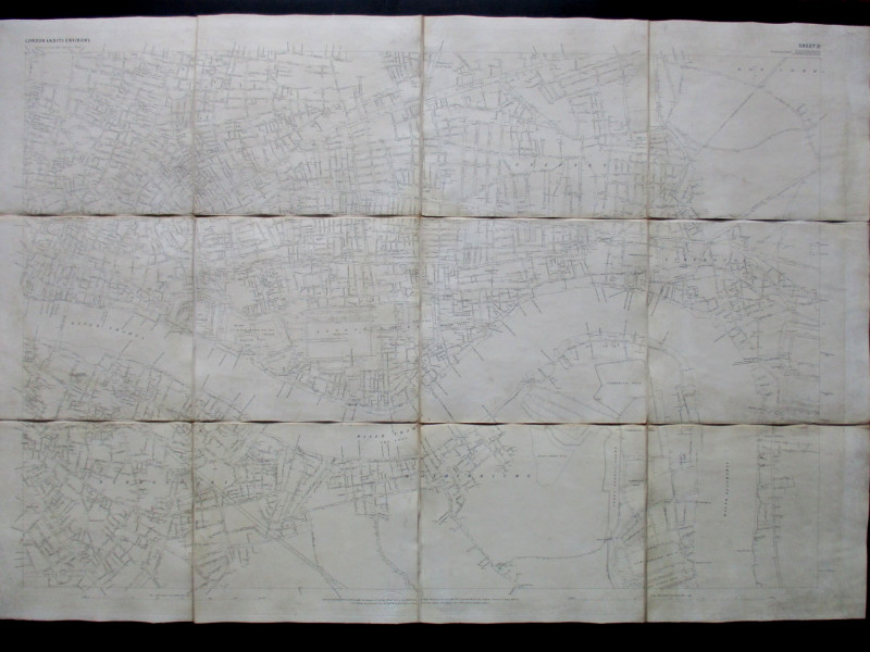
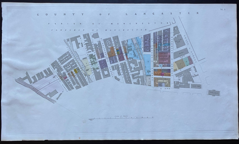
Ordnance Survey map of City of London (part) with...
Yelland
Ordnance Survey
£55.00
Offered by Arthur Hook
Friends of the PBFA
Please email info@pbfa.org for more information