Ordnance Survey map of City of London (part) with Stepney, Limehouse, Bermondsey & Docks 1851


Book Description
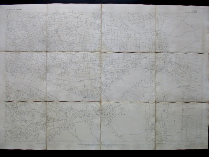
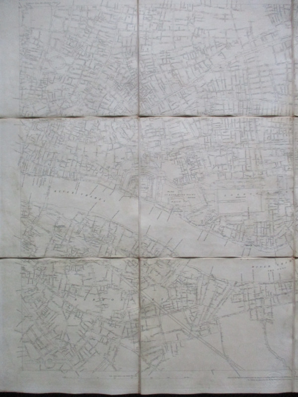
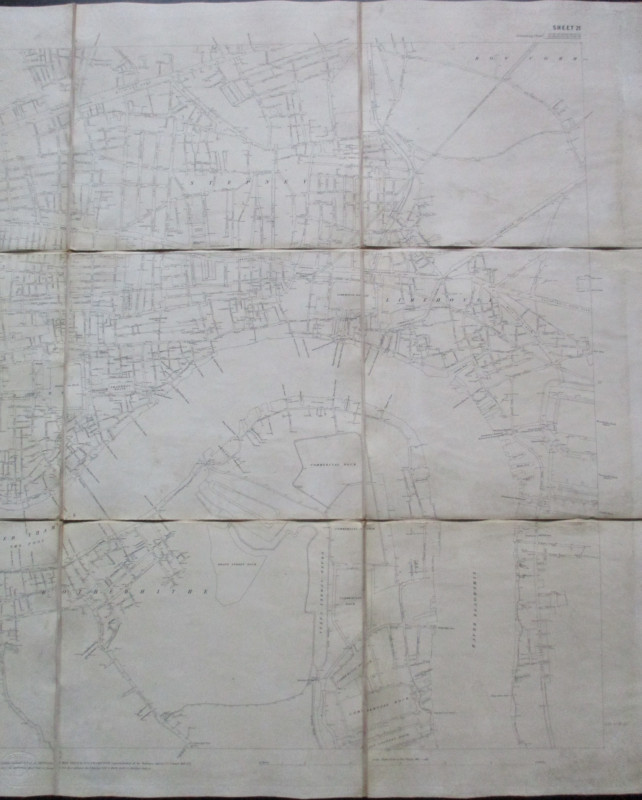
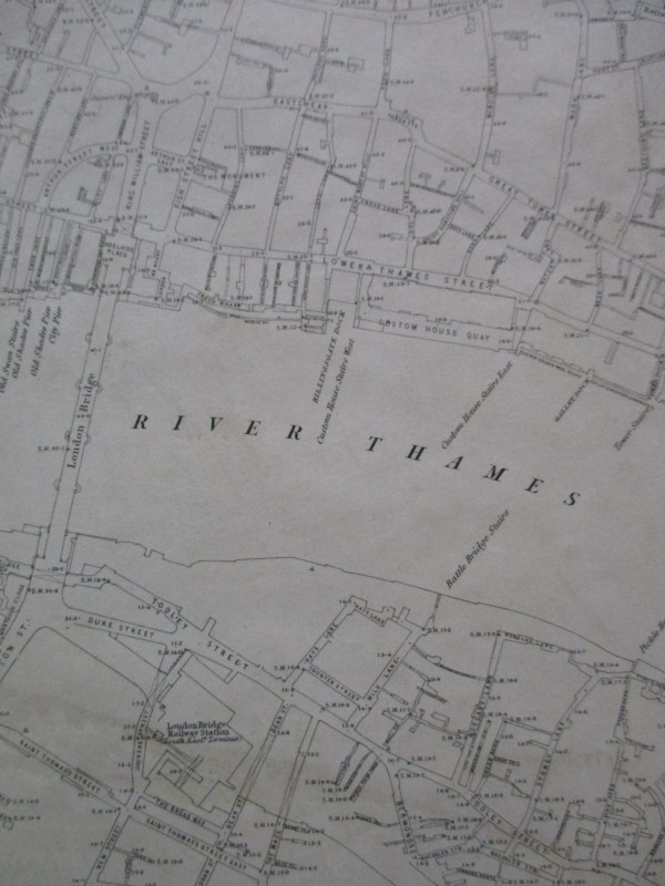
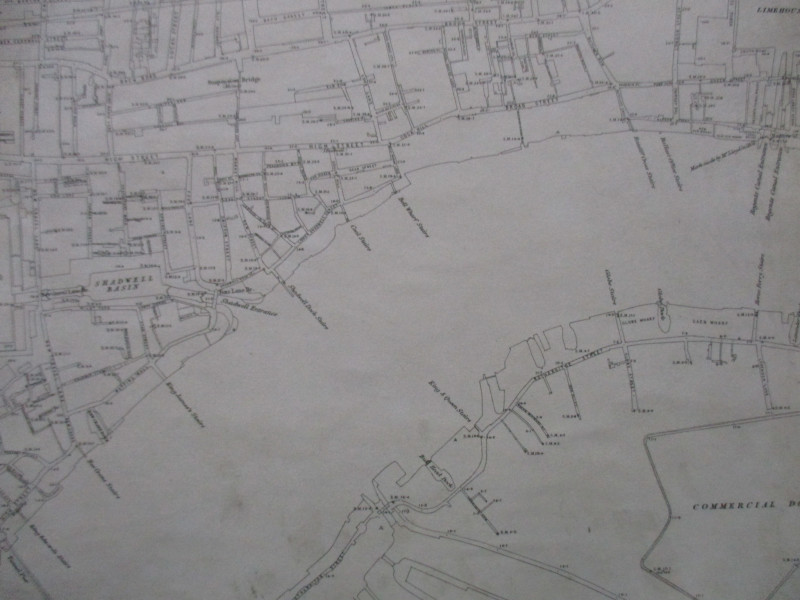
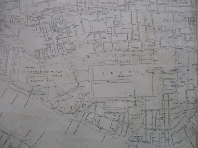
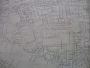
Ordnance Survey map of City of London (part) with Stepney, Limehouse, Bermondsey and the docks, published by the Ordnance Survey, Southampton 1851 (Sheet 21). On folding linen in 12 sections, size 40 by 27 inches, scale 12 inches to the mile or 1:5280. Covers an area from Finsbury Square across to Bow Common in the north and from the New Kent Road across to the Isle of Dogs in the south. Includes London Bridge. Evidence of old damp stains to reverse. Occasional foxing and fading.
Reduced from the skeleton plans, surveyed and engraved by the OS under Captain Yelland 1848-51. It was the result of a survey designed to form the basis of a new set of maps of the capital prompted by concerns about public health and the lack of any accurate map of showing the levels of the area to be drained. Previous OS maps had not shown London in such detail. The map shows streets in outline and includes every street, railway and canal, with heights above sea level shown in hundreds of places.
Author
Yelland
Date
1851
Publisher
Ordnance Survey
Condition
Good
Other books
If you liked the book you've just seen, you might be interested in other books from the same dealer below.
Official Railway Clearing House Map of London and...
Emslie
Railway Clearing House
£220.00
Offered by Arthur Hook
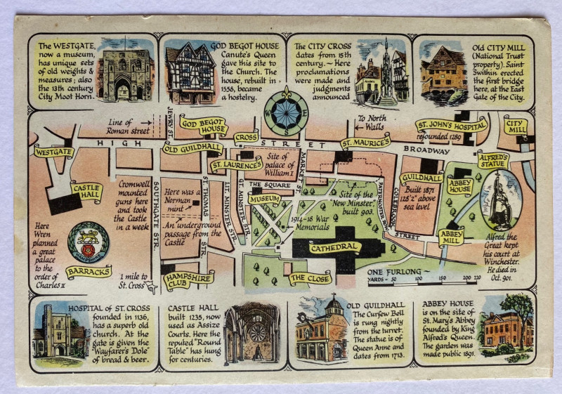
A Prospect of the Cathedral and College of Winches...
Sayer
Strand Magazine
£35.00
Offered by Arthur Hook

Nouveau Manual Complet du Terrassier et de l’Entre...
Etienne and Masson
Roret
£50.00
Offered by Arthur Hook

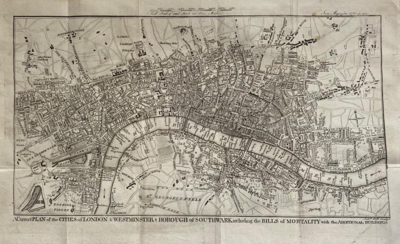
A Correct Plan of the Cities of London and Westmin...
Rocque
The Scots Magazine
Reserved
Offered by Arthur Hook
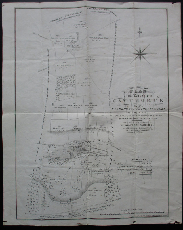
Plan of the Lordship of Caythorpe in the East Ridi...
Madeley
Madeley
Reserved
Offered by Arthur Hook

Aeriel map of Tokyo and its Environs 1928
Toshiyoshi Inagaki
Kudan Shubo
£95.00
Offered by Arthur Hook
Friends of the PBFA
For £10 get free entry to our fairs, updates from the PBFA and more.
Please email info@pbfa.org for more information