Map of Vienna and its environs in the year 1770
Book Description
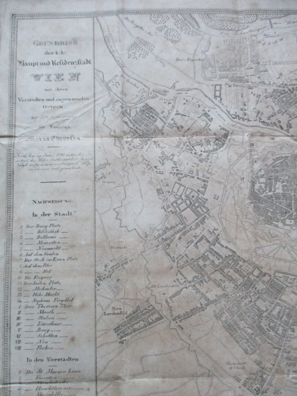
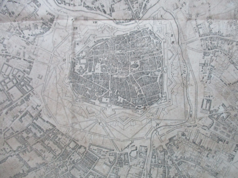
Map of Vienna and its environs in the year 1770. A ground plan of the Imperial Capital and Residential Town of Vienna with its suburbs and neighbouring villages in the time of the Empress Maria Theresa, lithographed by Orlitsek 1824. On paper size 50 by 40 cm. Scale 200 klater to the inch. Uncoloured. With a key to 31 features including bridges, churches, the new market, castle square, a library etc. A very detailed map which shows the expansion of the city into new suburbs such as Leopoldstadt in the north, Neu Lerchenfeld in the west and south towards Beyden Hauseln. Closed tear to the bottom edge repaired to the reverse with archival quality clear tape. Some foxing and rather dull, though overall in Good condition.
Author
Orlitsek
Date
1824
Publisher
Harterschen
Illustrator
Orlitsez
Condition
Good
Other books
If you liked the book you've just seen, you might be interested in other books from the same dealer below.
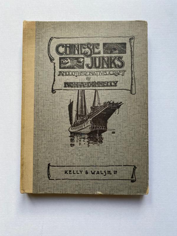
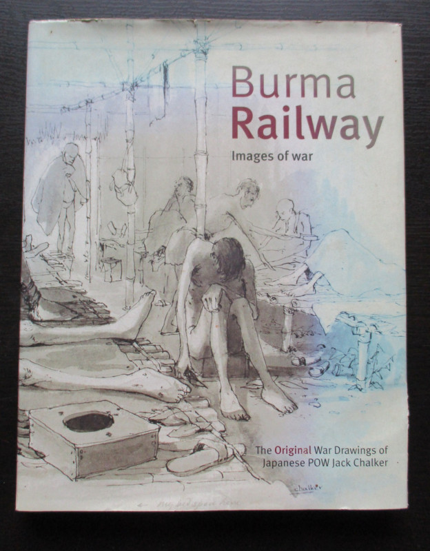
Burma Railway Images of War. The original war draw...
Chalker
Mercer Books
£45.00
Offered by Arthur Hook
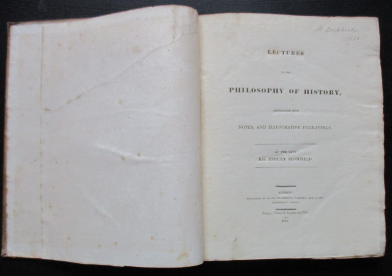
Lectures on the Philosophy of History
Blomfield
Black, Kingsbury, Parbury and Allen
£235.00
Offered by Arthur Hook
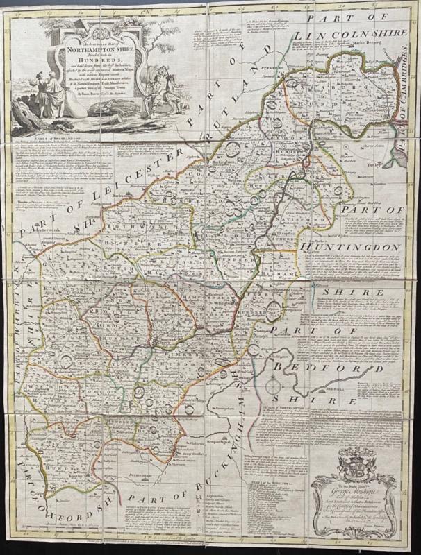
An Accurate Map of Northampton Shire Divided into...
Bowen
Carrington Bowles
£200.00
Offered by Arthur Hook
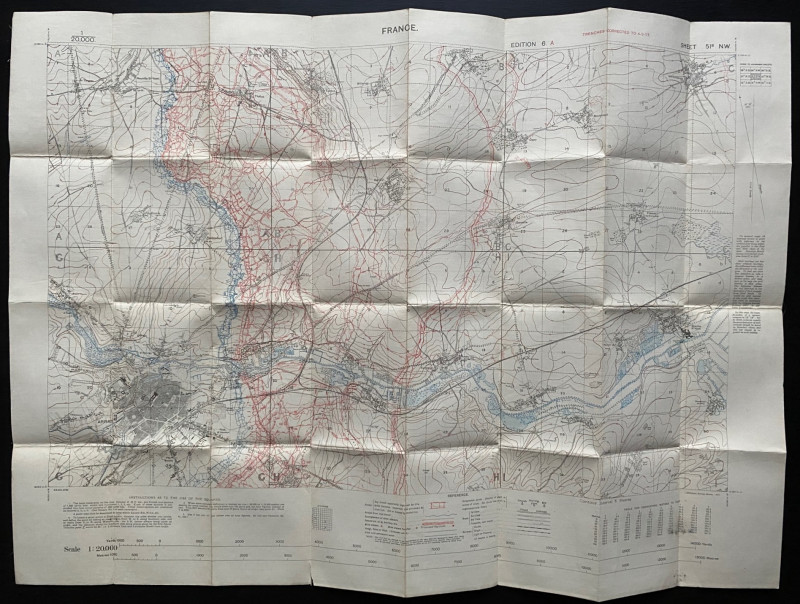
Trench Map of the Arras area France 1917
Ordnance Survey for British General Staff
Ordnance Survey for British General Staff
£165.00
Offered by Arthur Hook
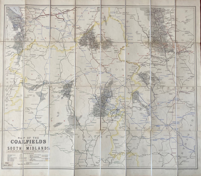
Map of the Coalfields of the South Midlands circa...
Johnston
Johnston
£100.00
Offered by Arthur Hook
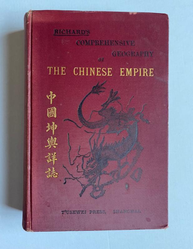
Richard’s Comprehensive Geography of the Chinese E...
Kennelly
T’Usewei Press
£210.00
Offered by Arthur Hook
Friends of the PBFA
For £10 get free entry to our fairs, updates from the PBFA and more.
Please email info@pbfa.org for more information