Road Map of India

Book Description
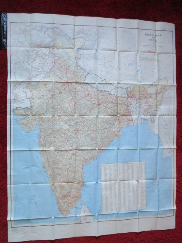
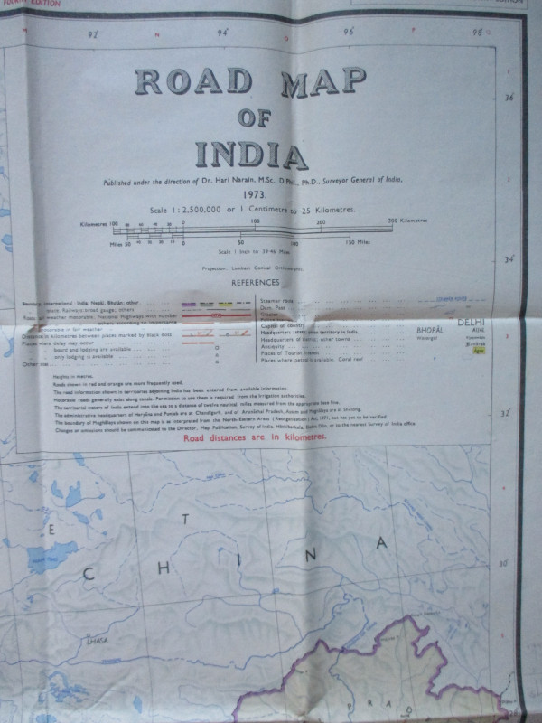
Road Map of India published by the Survey of India under the direction of Dr Hari Narain, Surveyor-General of India 1973. The 4th edition. On folding linen size 152 by 118 cm. Scale 1:2,500,000. A large and very detailed map. A key provides information on roads, railways, boundaries, dams, passes, glaciers, police stations, antiquities, places where petrol is available, places where board and lodging is available etc. Colour. Heights are shown by shading or hachuring. Folds into laminated protective covers. Vg to Mint condition.
Author
Narain
Date
1973
Binding
Folds into laminated protective covers
Publisher
Survey of India
Condition
VG to Mint
Other books
If you liked the book you've just seen, you might be interested in other books from the same dealer below.
The Channel Tunnel or Submarine Railway between En...
Anon
Channel Tunnel Company
£85.00
Offered by Arthur Hook
The Common Sights in the Heavens and How to See an...
Drayson
Chapman and Hall
£225.00
Offered by Arthur Hook
Map of London: a Plan for The General Metropolitan...
Arrowsmith
House of Commons
£135.00
Offered by Arthur Hook
The House Beautiful and Useful: Being practical su...
Elder-Duncan
Cassell
£85.00
Offered by Arthur Hook
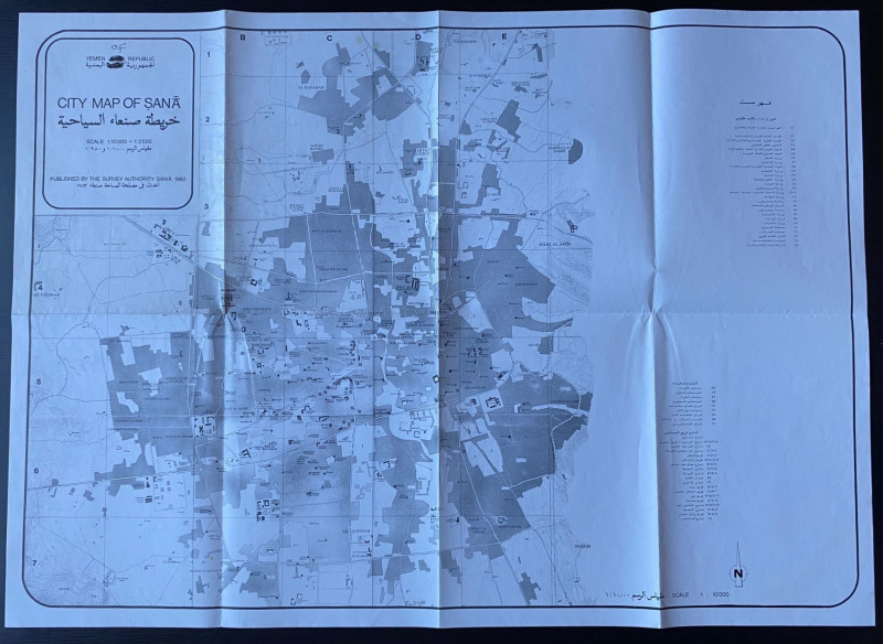
Republic of Yemen City Map of Sana
Survey Authority Sana
Survey Authority Sana
£110.00
Offered by Arthur Hook
Friends of the PBFA
For £10 get free entry to our fairs, updates from the PBFA and more.
Please email info@pbfa.org for more information