Map of Israel 1949

Book Description
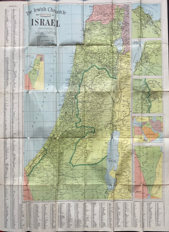
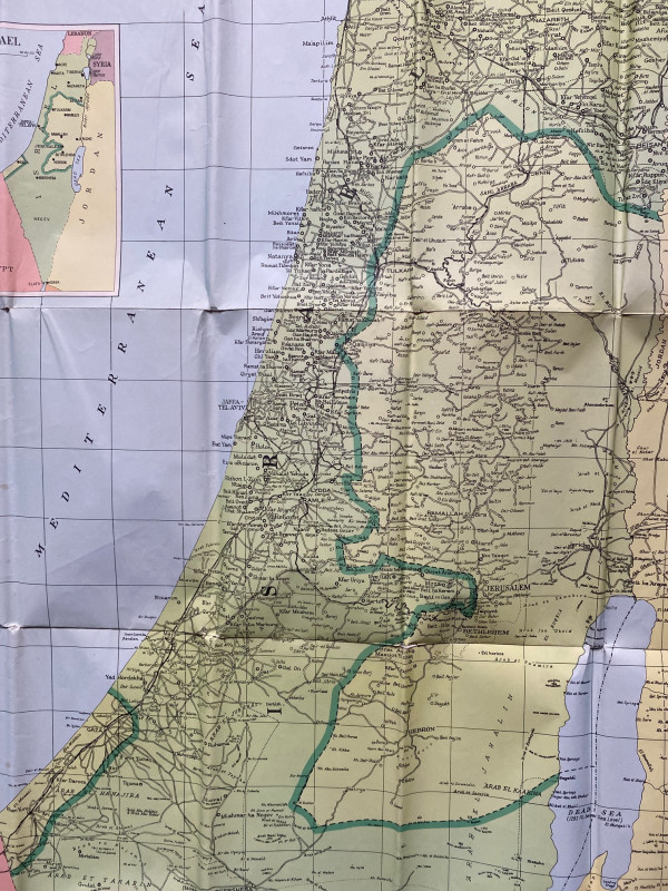
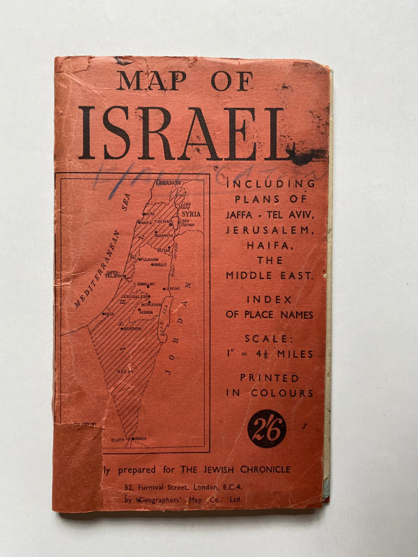
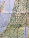
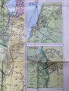
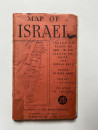
Map of Israel prepared for the Jewish Chronicle and published by the Geographers’ Map Company London 1949. On paper size 101 by 76 cm. Scale 1:285120 or one inch to four and a half miles to the inch. Colour. Includes plans of Jaffa, Tel Aviv, Jerusalem, Haifa and the Middle East. A key provides information on roads, railways, original Jewish settlements, ancient sites, UN partition boundaries, the boundaries of Israel subject to altering and based on United Nations Security Council Records dated June 20th 1949 etc. The map has an index along two of its sides. Some strengthening of folds to the reverse with archival standard clear tape and repairs to the cover. Folds into red card covers which have a map to the front. Good condition with these qualifications.
Author
Anon
Date
1949
Publisher
Geographers’ Map Company
Condition
Good
Other books
If you liked the book you've just seen, you might be interested in other books from the same dealer below.
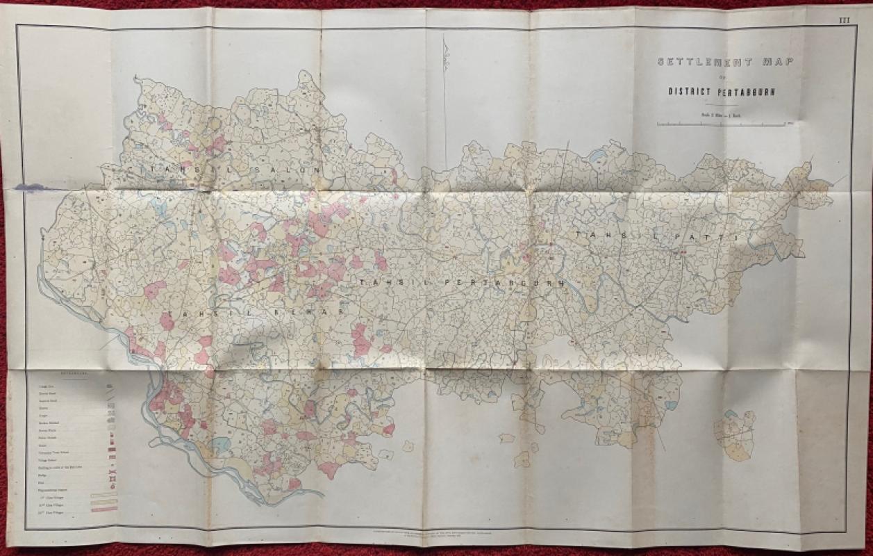
Settlement Map of District Pertabgurh (Pratapgarh...
Survey of India
Survey of India
£100.00
Offered by Arthur Hook
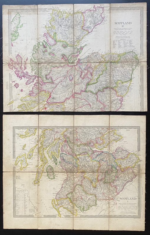
Map of Scotland with a Plan of Edinburgh 1834
Baldwin and Cradock
Baldwin and Cradock
£275.00
Offered by Arthur Hook

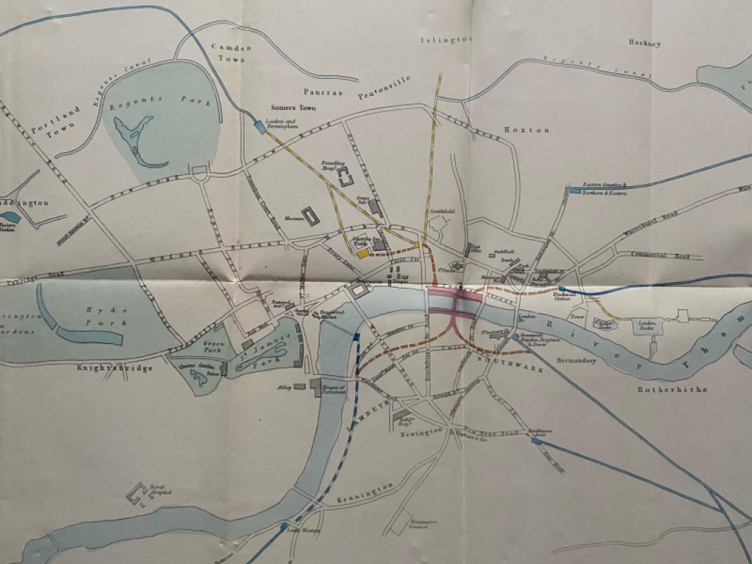
Map of London: a Plan for The General Metropolitan...
Arrowsmith
House of Commons
£135.00
Offered by Arthur Hook
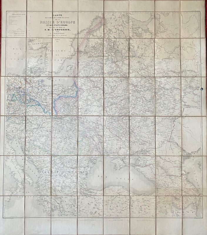
Map of European Russia and neighbouring states 185...
Sagansan
Avril Frėres
£185.00
Offered by Arthur Hook
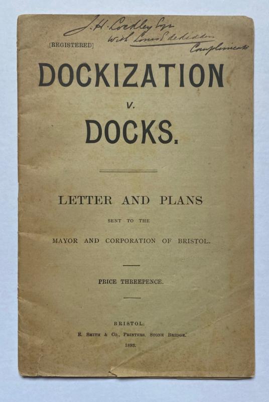
Dockization versus Docks, Letters and Plans sent t...
de Ridder
de Ridder
£30.00
Offered by Arthur Hook
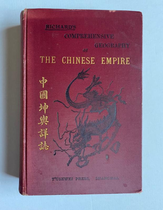
Richard’s Comprehensive Geography of the Chinese E...
Kennelly
T’Usewei Press
£210.00
Offered by Arthur Hook
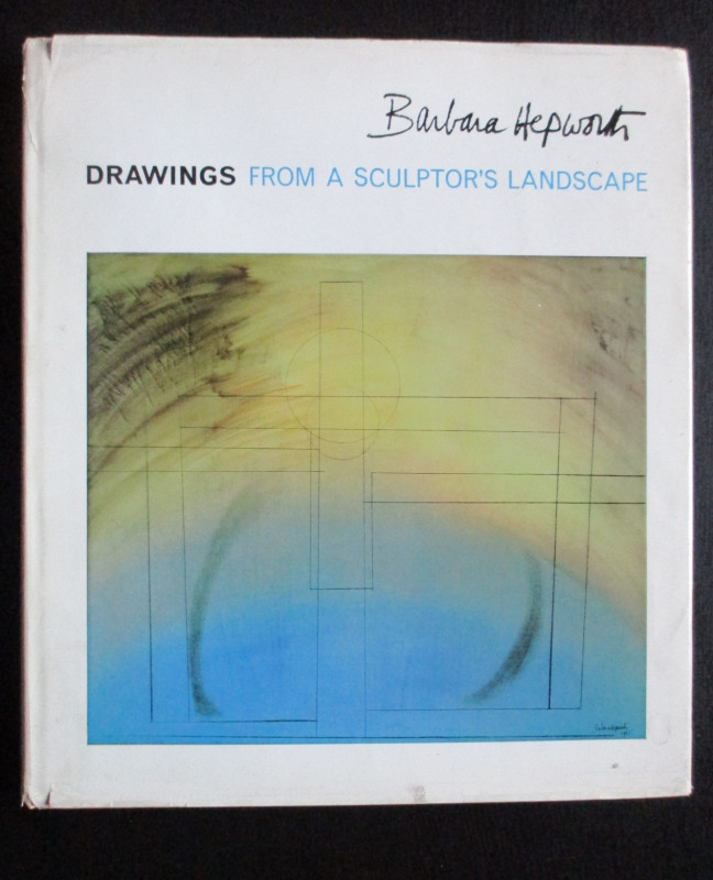
Barbara Hepworth Drawings from a Sculptor’s Landsc...
Hepworth
Cory Adams and Mackay
£45.00
Offered by Arthur Hook
Friends of the PBFA
For £10 get free entry to our fairs, updates from the PBFA and more.
Please email info@pbfa.org for more information