Street Plan of Central London 1847
Book Description
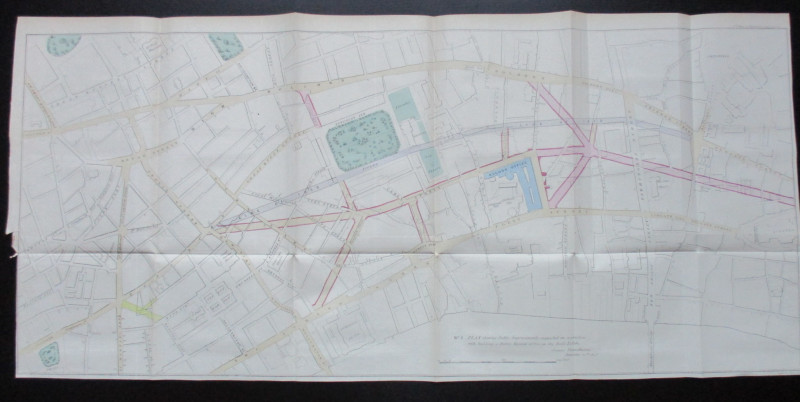
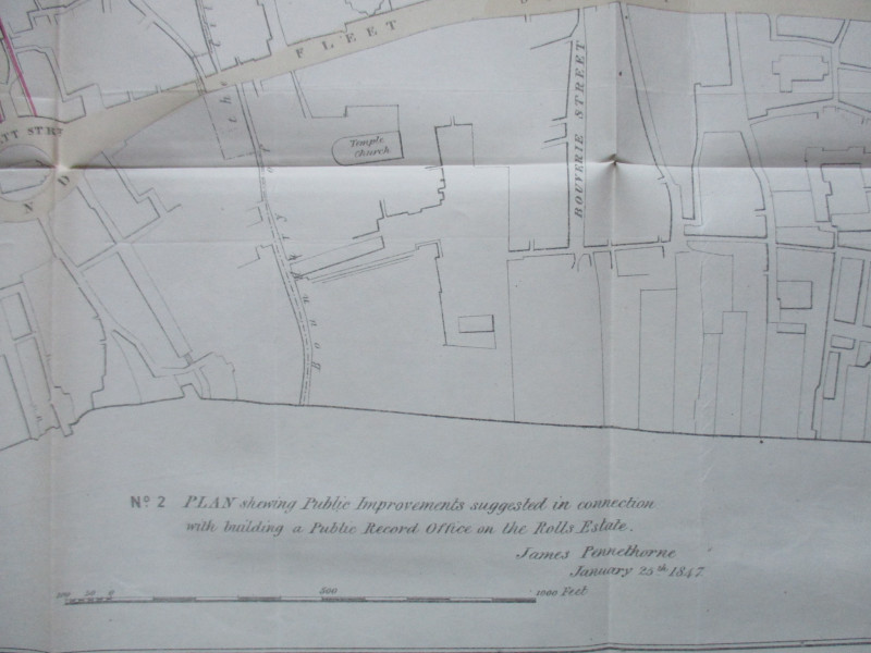
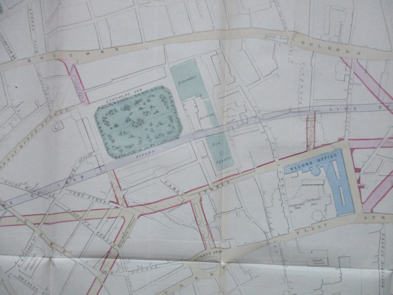
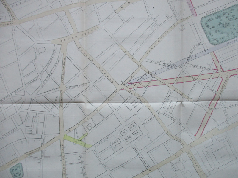
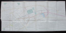
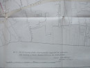
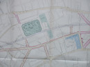
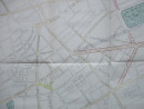
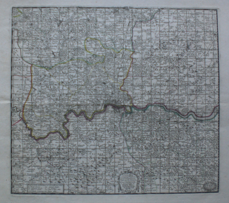
Plan shewing Public Improvements suggested in connection with building a Public Record Office on the Rolls Estate by James Pennethorne, lithographed by Standidge and published by Hansard for the House of Commons, January 1847. A large street plan of part of London bordered by Oxford Street and Leicester Square in the west and Smithfield, St. Pauls and Blackfriars Bridge in the east. On paper size 95 by 44 cm. Scale approximately 150 feet to the inch. Some hand colouring. The planned new road developments and the building of the Public Record Office have been superimposed on the existing street map. Has been folded. Cropped outside the left margin of the map. VG condition
Author
Pennethorne
Date
1847
Publisher
Hansard
Illustrator
Pennethorne
Condition
VG
Other books
If you liked the book you've just seen, you might be interested in other books from the same dealer below.

Map of the Baltic 1854
Anon
Hydrographic Office of the British Admiralty
£100.00
Offered by Arthur Hook

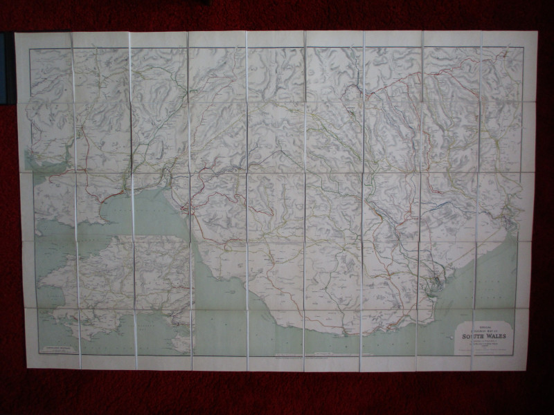
Railway Clearing House Map of South Wales 1926
Emslie
Railway Clearing House
£125.00
Offered by Arthur Hook
Friends of the PBFA
For £10 get free entry to our fairs, updates from the PBFA and more.
Please email info@pbfa.org for more information