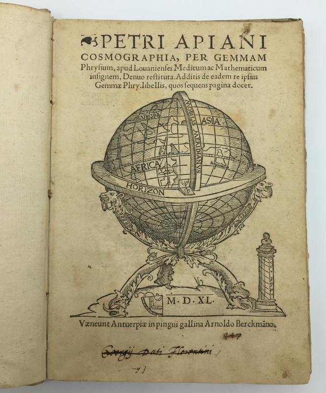
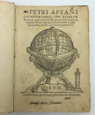
COSMOGRAPHIA, per gemmam Phrysium, apud Louanienses Medicum ac Mathematicarum insignem, Denuo restituta. Additis de eadem re ipsius Gemmae Phry. Libellis, quos sequens pagina docet.


Book Description
Dealer Notes
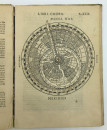
A highly influential work, Apianus’s treatise was one of the first attempts to base geography on mathematics and measurement. Originally published in 1524, it went through no fewer than 45 editions, was translated into 14 languages, and was manufactured in seven cities, by at least 18 printers. This popularity derived principally from its maps and discussion of the New World, but also for its ingenious use of volvelles, or paper devices, which enabled one to solve practical mathematical problems relating to time, the calendar, astronomy and astrology.
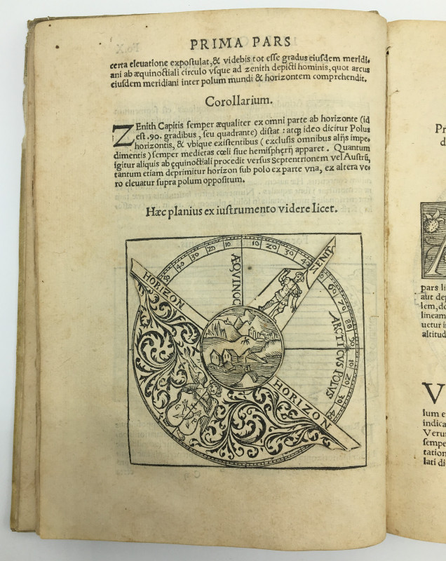
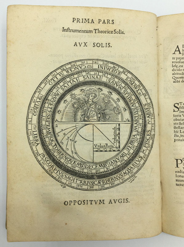
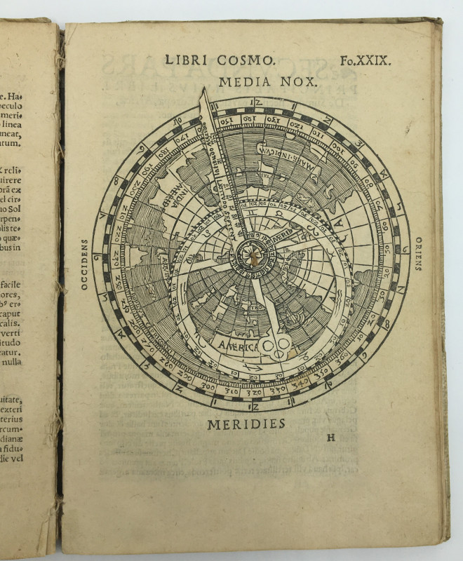
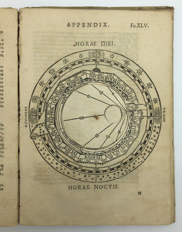
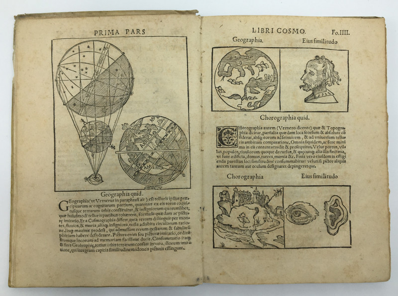
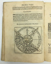
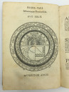
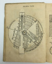
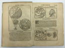
The work is divided into two main parts; the first discussing the principles of cosmography, and the second providing cosmographical data, including a general geographical description of the four continents. Its essential purpose was to provide readers with a brief explanation of the basic concepts of astronomy and geography, to explain how to find latitude, longitude and time with mathematical instruments, to provide arithmetical methods for converting differences in coordinates to distances, and to explain how to draw a cosmographical map, with its numerous woodcut illustrations serving to demonstrate the astronomical, cartological, mathematical and geographical concepts under discussion. Among the instruments depicted is an armillary sphere, portable time telling devices, including a diptych and nocturnal, annulus astronomicus or astronomical rings and an astrolabe. The volvelles themselves comprise a horizon instrument (X), demonstrating the relationship between the local horizon, the zenith, the polar axis and the equator; a circular calendar without moveable parts (XI), the outer scale showing the Zodiac, with each sign divided into 30 degrees, the lower left quadrant of the inner disc being used to tell the time in unequal hours - widely used in the 16th century - and with the right quadrant showing a shadow square, a proportional measuring device often used to measure heights at a distance; an altitude sun dial (XIII), termed Ptolemy’s Instrument by Apianus, which can be used to tell time in any latitude, thus forming a universal instrument, which can also tell the times of sunrise and sunset and provide the lengths of day and night in any latitude; a terrestrial astrolabe (XXIX) equipped with a geographical or map-plate, indicating the latitude and longitude of a region, the movement of the sun as seen from the earth, and the relative time in different parts of the earth; and a lunar clock (XLV), which, in conjunction with a sundial, can be used to determine time at night.
This edition, edited by Apianus's student Gemma Frisius (1508-1555), contains the latter’s description of Peru, as well as an account of the discovery of America by its namesake, Amerigo Vespucci, in 1497 (XXXI). All editions of the Cosmographia printed after 1533 also include Frisius’s treatise on topographical triangulation, in which he became the first person to propose it as a means of locating and mapping places - a landmark in the history of cartography.
Antwerp, where the present edition was published, and where more than half of all known editions of the Cosmographia were printed, was described by Guicciardini as the place where people from all the nations of the known world could feel themselves at home. Here, printing was a growth industry: as R.A. Peddie describes, while there were 12 printing offices in Antwerp in the fifteenth century, by the sixteenth century it had 56. “We find”, he continues, “in the books which are published from 1500 to 1540 a complete and vivid image of the eager search for new knowledge which then prevailed”. The Latin editions of Cosmographia publihsed in 1529, 1533, 1534, 1539, 1540, 1544, 1545, 1550, 1553, 1564, 1574, and 1584, the French editions of 1544 and 1581, the Spanish editions of 1548 and 1575, and the Dutch editions of 1537, 1545, 1533, 1561, and 1573, were all produced in Antwerp. It was an appropriate city in which to print so many editions of this major work combining such innovative scientific, exploratory, and artistic endeavour, for it was a city which nurtured scientists, botanists, and cartographers, as well as artists, printers, and engravers, and, as a Renaissance harbour, also served as a mecca for mariners returning from the newly discovered lands around the globe.
[Alden 540/2; Sabin 1745; Fairfax Murray German 40].
Other books
If you liked the book you've just seen, you might be interested in other books from the same dealer below.
POEMS
KEATS, John; illustrated by BELL, Robert Anning; introduction by RALEIGH, Walter:
London: George Bell & Sons.
£150.00
Offered by Sky Duthie Rare Books
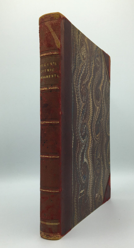
PUGIN'S GOTHIC ORNAMENTS, Selected from various Bu...
PUGIN, Augustus; HARDING, J. D. [James Duffield]:
[London: A. Pugin et al.]
£650.00
Offered by Sky Duthie Rare Books
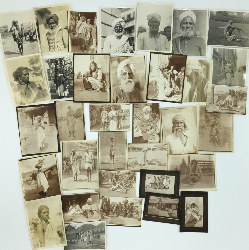
ARCHIVE OF OVER FOUR HUNDRED PHOTOGRAPHS OF EARLY...
LEACH, William Arthur Blackburn:
[Original photographs].
£975.00
Offered by Sky Duthie Rare Books
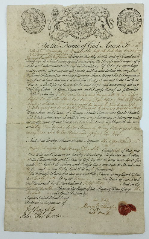
WILL OF A SAILOR SERVING ABOARD HMS RAINBOW
ALLINGTON, Monmouth; KNIGHT, Joseph; CROOKE, Peter Thomas:
[Original manuscript].
£275.00
Offered by Sky Duthie Rare Books
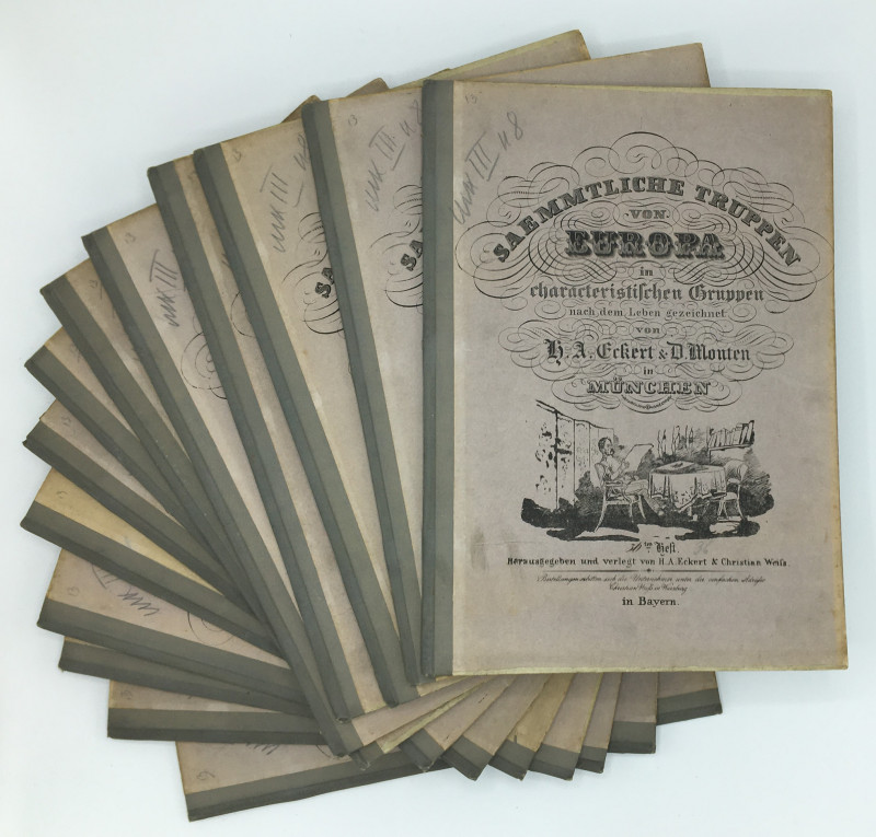
SAEMMTLICHE TRUPPEN VON EUROPA IN CHARACTERISTISCH...
ECKERT, H. A.; MONTEN, D.:
Würzburg: Christian Weiss.
£1475.00
Offered by Sky Duthie Rare Books
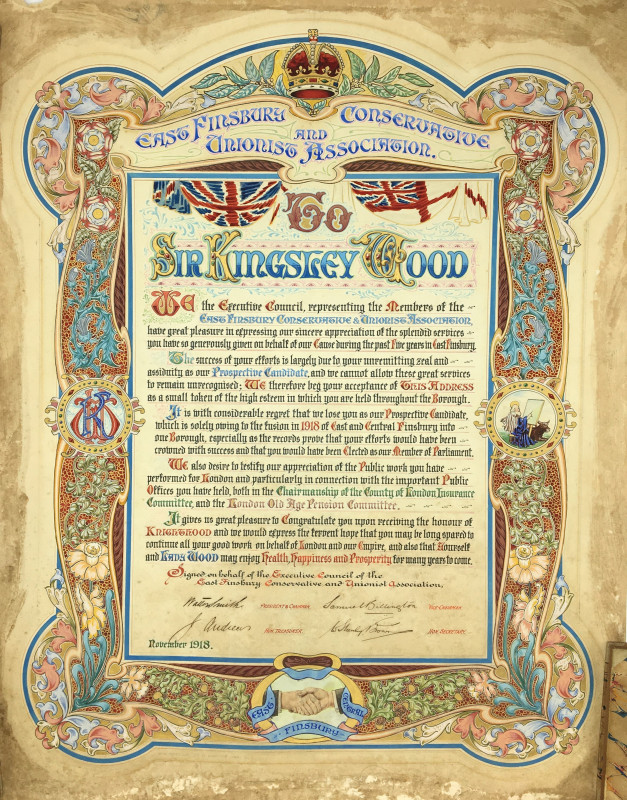
ILLUMINATED MANUSCRIPT PRESENTATION ADDRESS TO SIR...
[WOOD, Sir Howard Kingsley]; PRATT, W. B.:
[Original illuminated manuscript].
£475.00
Offered by Sky Duthie Rare Books
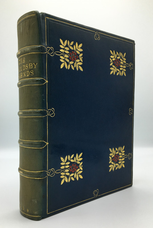
THE INGOLDSBY LEGENDS, or Mirth and Marvels by Tho...
[ARTS AND CRAFTS MOVEMENT BINDING]; [BOURNVILLE SCHOOL OF ART]; INGOLDSBY, Thomas; illustrated by RACKHAM, Arthur:
London: William Heinemann.
£650.00
Offered by Sky Duthie Rare Books
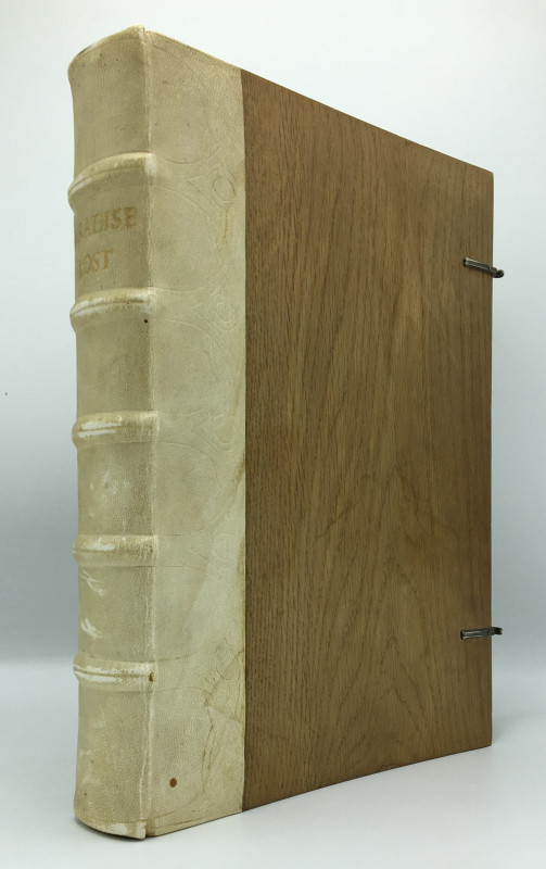
MILTON’S PARADISE LOST
MILTON, John; illustrated by DORÉ, Gustave; edited by VAUGHAN, Robert; [binding in the manner of COCKERELL, Douglas]:
London: Cassell, Petter, Galpin & Co.
£750.00
Offered by Sky Duthie Rare Books
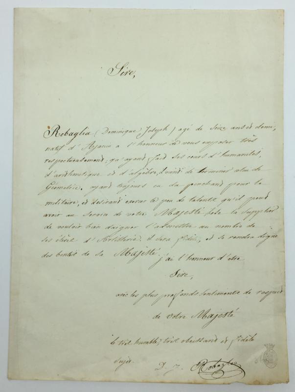
MANUSCRIPT LETTER TO NAPOLEON FROM A TEENAGE FAN F...
[NAPOLEON BONAPARTE]; ROBAGLIA, Dominique Joseph:
[Original manuscript]
£500.00
Offered by Sky Duthie Rare Books
COSMOGRAPHIA, per gemmam Phrysium, apud Louaniense...
[ASTRONOMY]; APIANI, Petri [Petrus Apianus]:
Antwerp: Arnoldo Berckmâno [Arnold Birckmann].
£7250.00
Offered by Sky Duthie Rare Books
Friends of the PBFA
Please email info@pbfa.org for more information