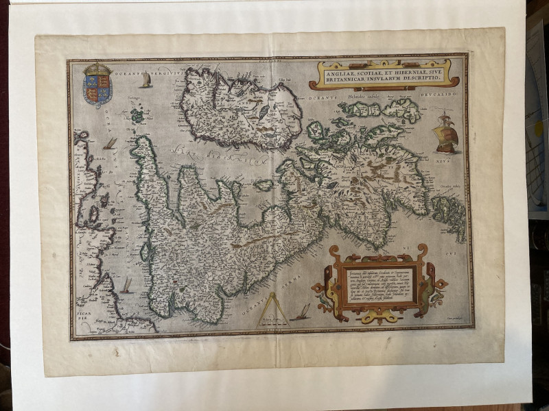
ANGLIAE, SCOTIAE, ET HIBERNIAE, SIVE BRITANNICAR: INSULARUM DESCRIPTIO.
Book Description
Dealer Notes
The map is turned to show north at the right, enabling better use of the printed paper - potentially prophesying the UK on its back after Brexit?
Other books
If you liked the book you've just seen, you might be interested in other books from the same dealer below.
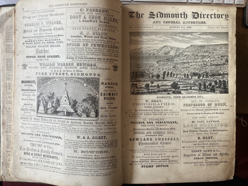
THE SIDMOUTH DIRECTORY AND GENERAL ADVERTISER. 6TH...
[Directory].
Sidmouth, Charles Culverwell
£450.00
Offered by Graham York Rare Books
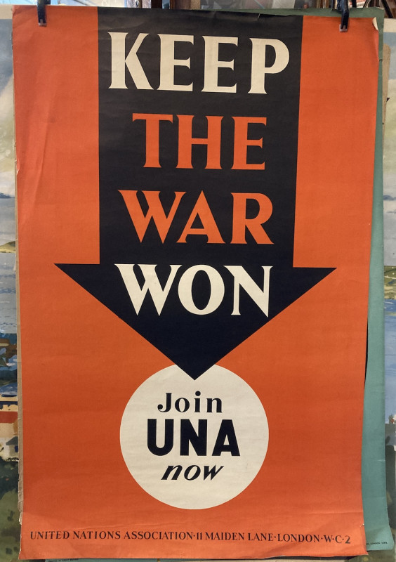
KEEP THE WAR WON.
United Nations Association.
U.N. Association.
£50.00
Offered by Graham York Rare Books

HISTORY OF PEEBLESSHIRE.
J. W. Buchan and Rev. H. Paton. (Edited by).
Glasgow, Jackson, Wylie and Co.,
£300.00
Offered by Graham York Rare Books
ANGLIAE, SCOTIAE, ET HIBERNIAE, SIVE BRITANNICAR:...
Abraham Ortelius
Antwerp,
£1000.00
Offered by Graham York Rare Books
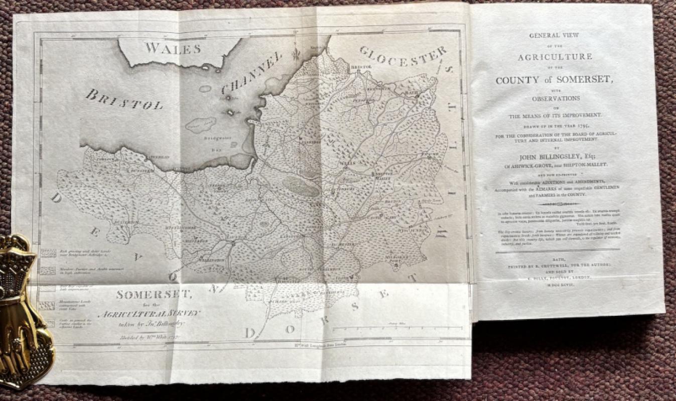
GENERAL VIEW OF THE AGRICULTURE OF THE COUNTY OF S...
John Billingsley.
printed by R. Cruttwell for the author
£125.00
Offered by Graham York Rare Books
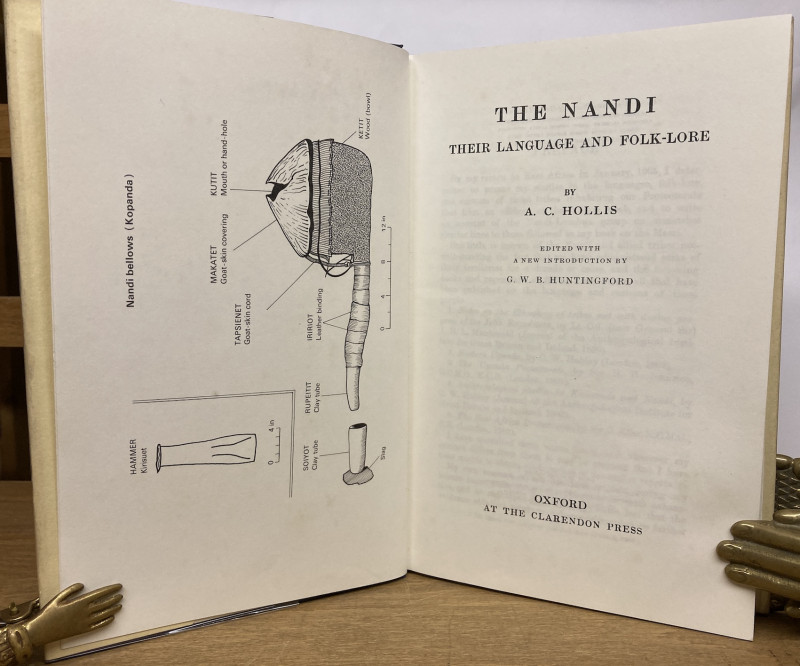
THE NANDI THEIR LANGUAGE AND FOLK-LORE. EDITED WIT...
A. C. Hollis.
Oxford, Clarendon Press
£40.00
Offered by Graham York Rare Books
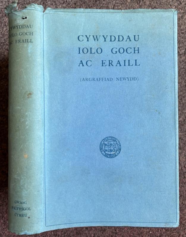
CYWYDDAU IOLO GOCH AC ERAILL (ARGRAFFIAD NEWYDD).
Henry Lewis, Thomas Roberts and Ifor Williams.
Caerdydd,
£8.00
Offered by Graham York Rare Books
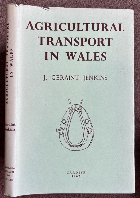
AGRICULTURAL TRANSPORT IN WALES. NATIONAL MUSEUM O...
J. Geraint Jenkins.
£15.00
Offered by Graham York Rare Books
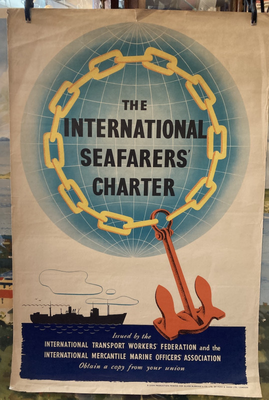
THE INTERNATIONAL SEAFARERS' CHARTER.
International Transport Workers' Federation.
A Leon Production, printed for Oliver Burridge and Company Limited.
£50.00
Offered by Graham York Rare Books
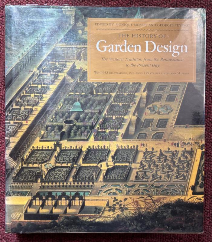
THE HISTORY OF GARDEN DESIGN. THE WESTERN TRADITIO...
Monique Mosser and Georges Teyssot (Edited by).
London, Thames and Hudson
£50.00
Offered by Graham York Rare Books
Friends of the PBFA
Please email info@pbfa.org for more information