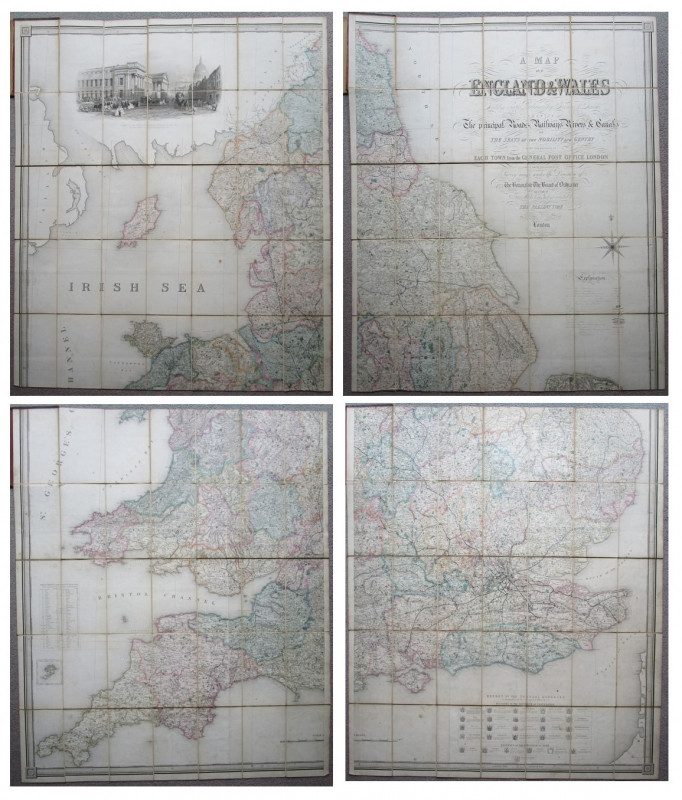
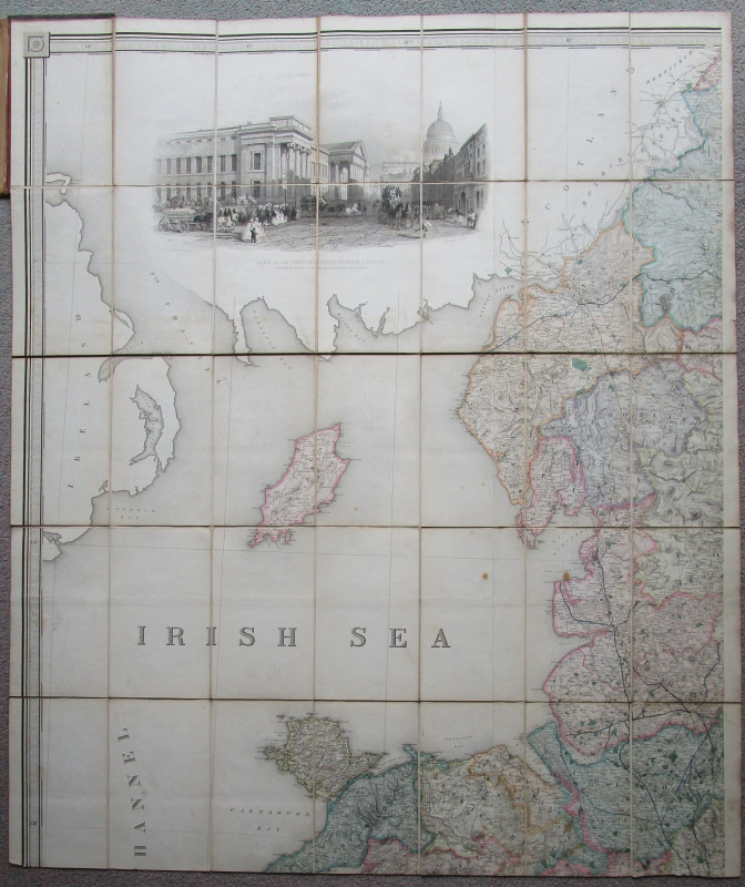
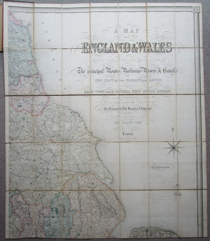
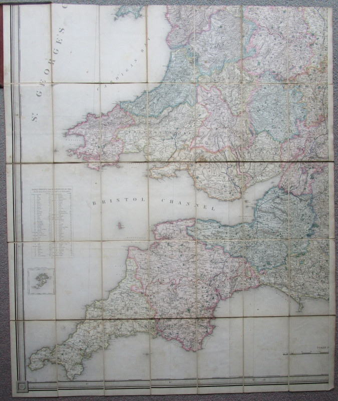
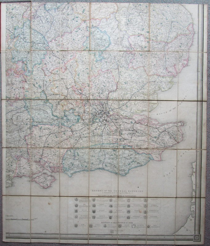
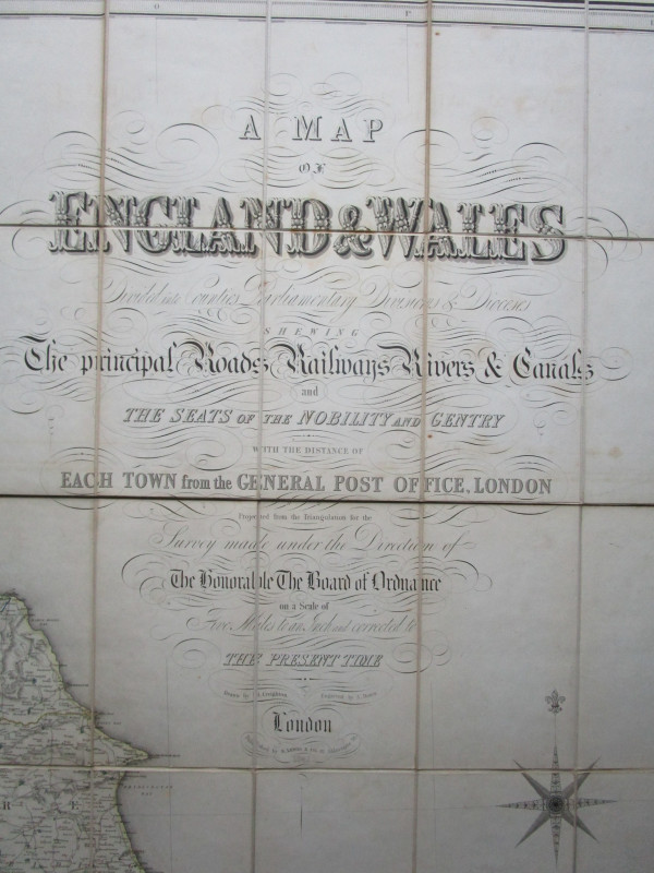
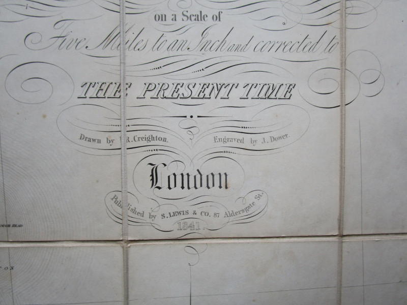
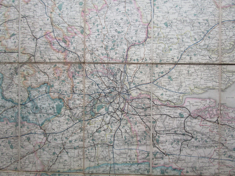
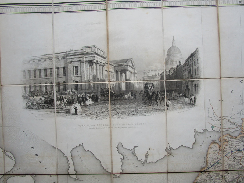
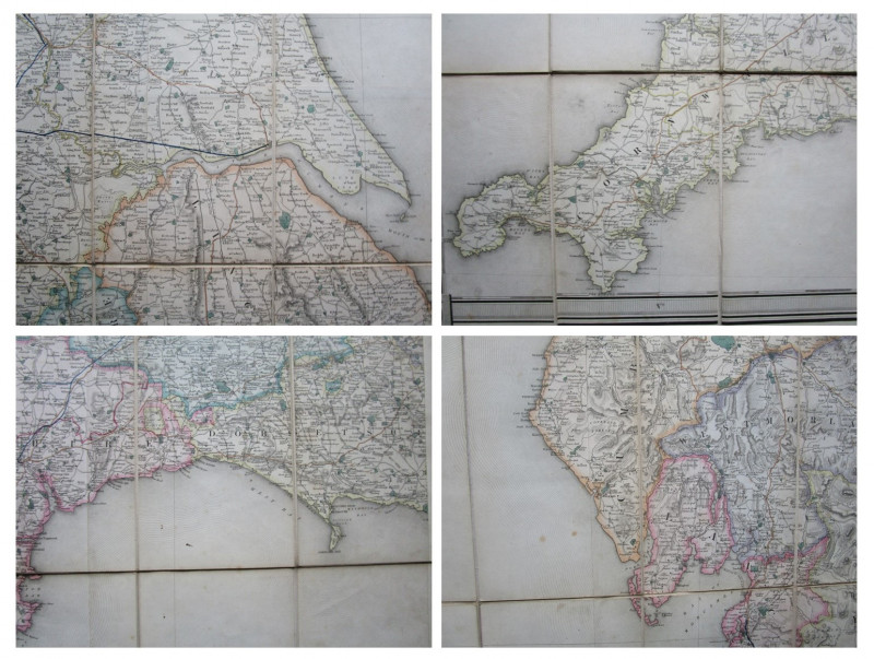
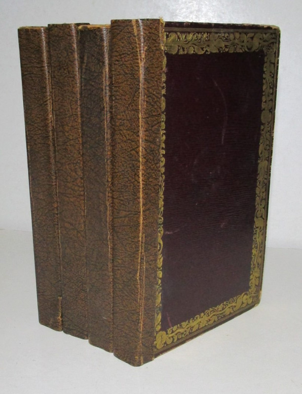
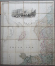
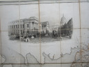
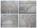
A MAP OF ENGLAND & WALES


Book Description
Other books
If you liked the book you've just seen, you might be interested in other books from the same dealer below.
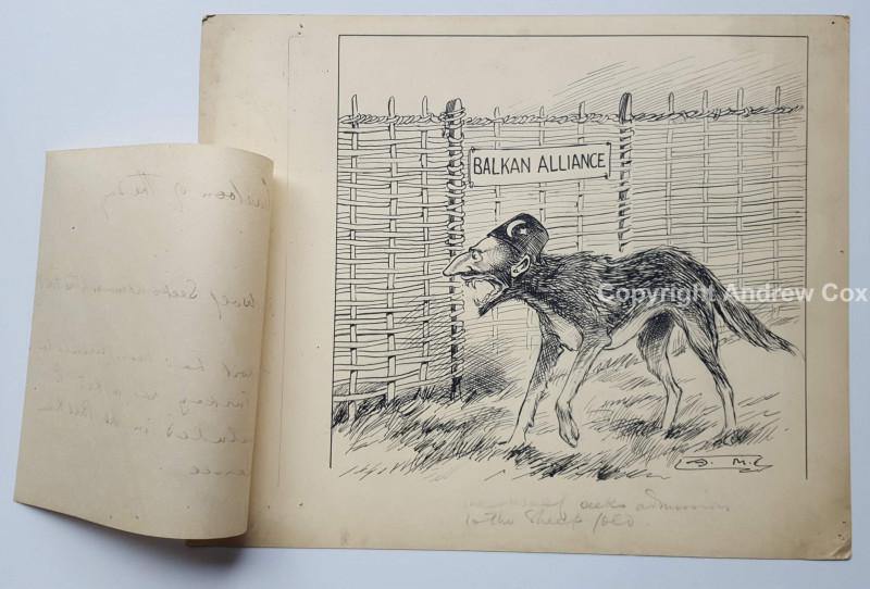
TURKEY & THE BALKAN ALLIANCE
ARTHUR MORELAND
Original Political Cartoon by Arthur Moreland dating to circa 1912
£295.00
Offered by Andrew Cox
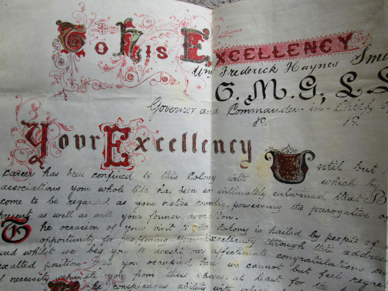
HANDWRITTEN ILLUMINATED VELLUM DOCUMENT
GOVERNOR OF THE LEEWARD ISLANDS
Sir William Frederick Haynes-Smith KCMG (26 June 1839 – 18 December 1928)
£250.00
Offered by Andrew Cox
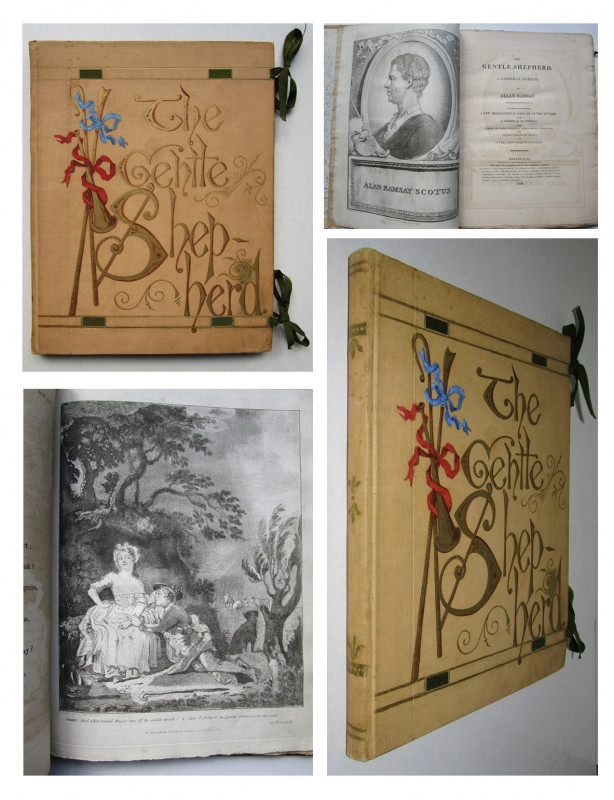
1808 HAND PAINTED BINDING The Gentle Shepherd
Allan Ramsay
Watt and Baillie Leith
£250.00
Offered by Andrew Cox

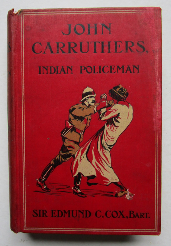
JOHN CARRUTHERS, INDIAN POLICEMAN
Sir Edmund C. Cox of The Bombay District Police
Cassell and Company Limited
£145.00
Offered by Andrew Cox
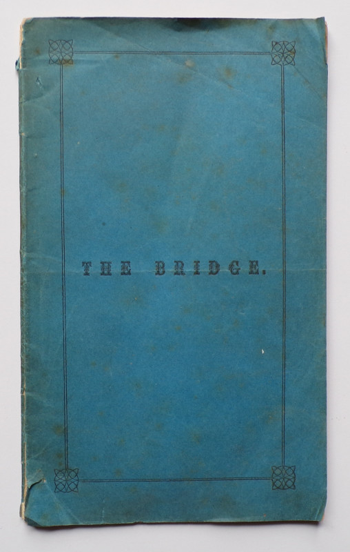
THE BRIDGE Celebrating the building of a Bridge ov...
George Murray, Minister at Balmaclellan
the Advertiser Office, Castle Douglas,
£175.00
Offered by Andrew Cox
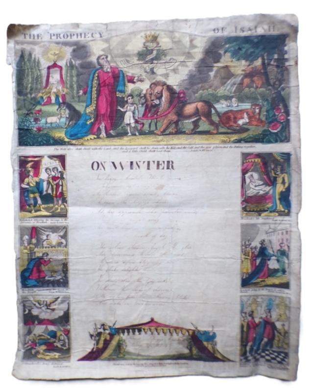
1824 Hand Coloured School Writing Sheet
Thomas Briggs aged 10
Printed and Sold by W. Belch
£250.00
Offered by Andrew Cox
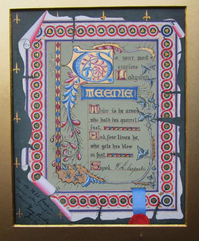
ORIGINAL HAND ILLUMINATED MANUSCRIPT PIECE
With lines based on text from William Shakespeare’s King Henry VI, Part II
1902
£55.00
Offered by Andrew Cox
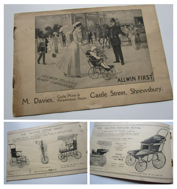
Circa 1910 Trade Catalogue ALLWIN FOLDING BABY CAR...
Allwin & M. Davies
M. Davies, Cycle, Motor & Perambulator Depot.
£55.00
Offered by Andrew Cox
Friends of the PBFA
Please email info@pbfa.org for more information