Map of the Occupation of Germany and Austria 1945. Carte des Zones d'Occupation de l'Allemagne et de l'Autriche.


Book Description
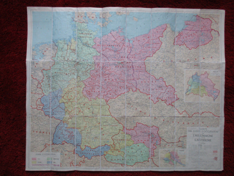
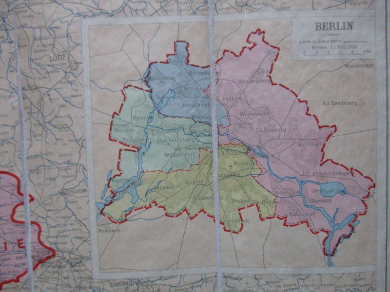
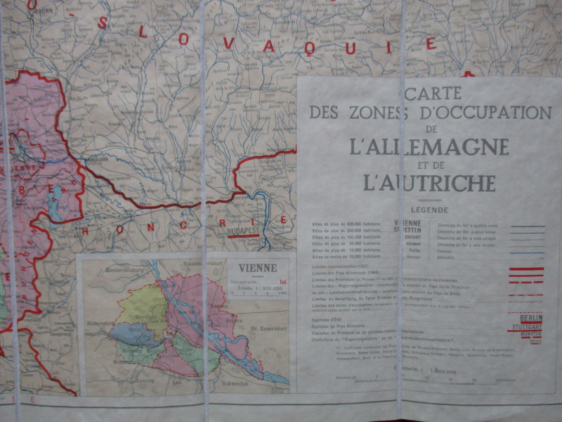
Map of the Occupation of Germany and Austria 1945. Carte des Zones d'Occupation de l'Allemagne et de l'Autriche, published by the French Ministry of Public Works and Transport, Paris 1945. On folding linen in 24 sections size 88 by 72 cm. Scale 1:500,000. Includes inset maps of Berlin and Vienna also showing the occupied zones. Colour. With a key to towns with their sizes and populations; railways; canals; 1937 frontiers; 1944 German borders etc. plus a colour-coded key to the zones of allied occupation and the German-Polish and Polish-Russian frontiers in the period July to August 1945. Folds into soft card covers with the Map House label bearing a hand-written title. A most unusual survivor and a snapshot of Europe at the very end of the Second World War and immediately before the descent of the iron curtain. Vg condition.
Date
1945
Publisher
1945
Condition
VG
Other books
If you liked the book you've just seen, you might be interested in other books from the same dealer below.
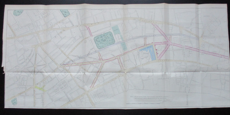
Two Maps of Charing Cross so displayed that the Ch...
Sayer
Strand Magazine
£35.00
Offered by Arthur Hook

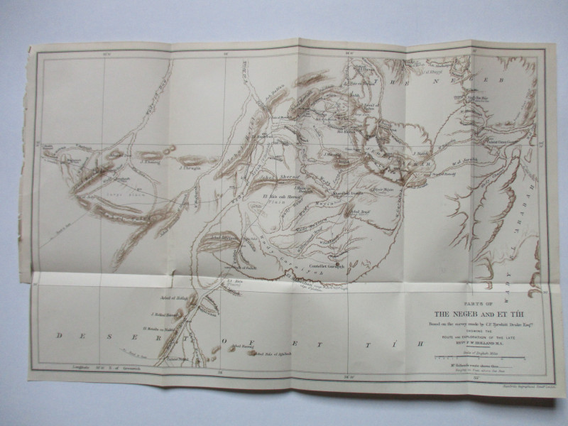
Map of Parts of the Negeb and Et Tih Palestine 188...
Drake
Palestine Exploration Fund
£40.00
Offered by Arthur Hook
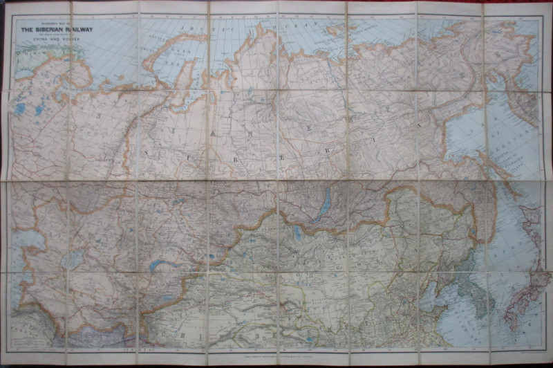
Stanford’s Map of the Siberian Railway: The Great...
Stanford
Stanford
£595.00
Offered by Arthur Hook
Friends of the PBFA
For £10 get free entry to our fairs, updates from the PBFA and more.
Please email info@pbfa.org for more information