Map of the Java China Japan Line


Book Description
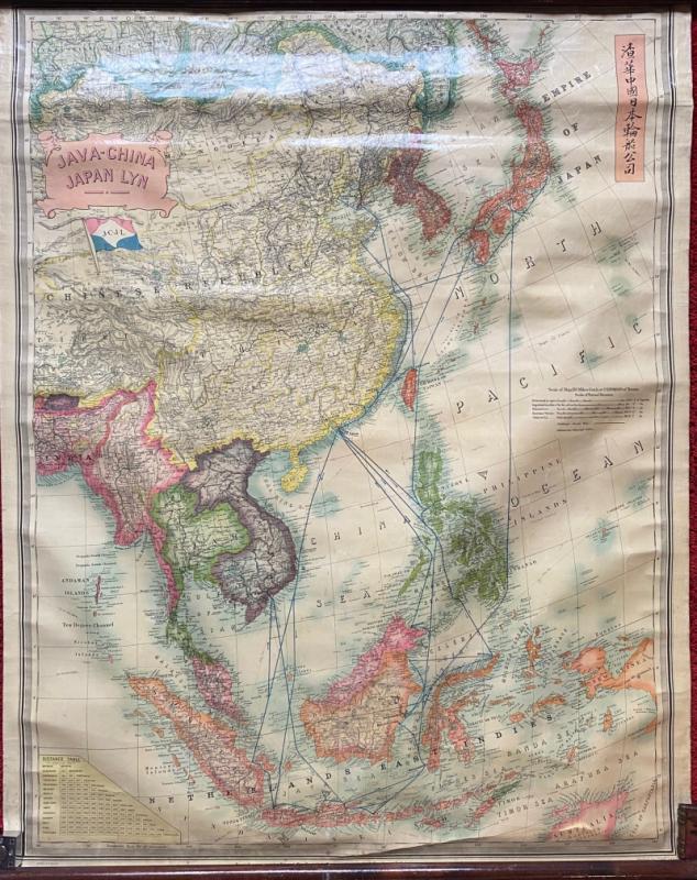
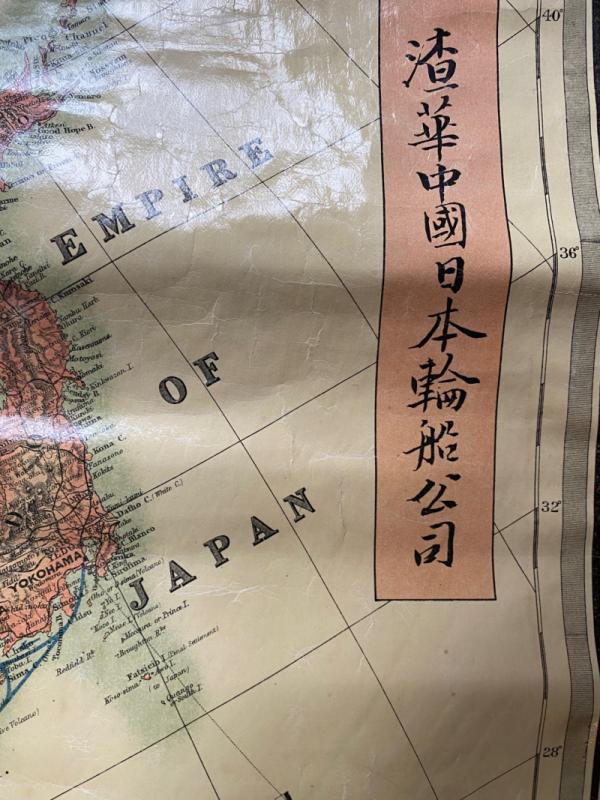
Map of the Java China Japan Line published by Stanfords, London circa 1935 for the Dutch Java-China Japan shipping line. On treated linen size 112 by 87 cm. Scale 110 miles to the inch, with additional scales including Chinese li, Russian versts, Netherlands leagues and kilometres. Full colour. The map covers an area of East Asia in great detail from Irkutsk through Calcutta and the Andaman Islands in the west across to Japan and the Netherlands East Indies in the east. The map seems to have been created to help promote the tourist trade and shows the various routes that the JCJ line operated in the region. The surface has been treated with a clear varnish which would protect it when used for display purposes. It is complete with the original poles at the top and bottom so that it can be rolled up. Good to VG condition.
Author
Anon
Date
1935
Binding
With original poles
Publisher
Stanfords
Condition
Good to VG
Other books
If you liked the book you've just seen, you might be interested in other books from the same dealer below.
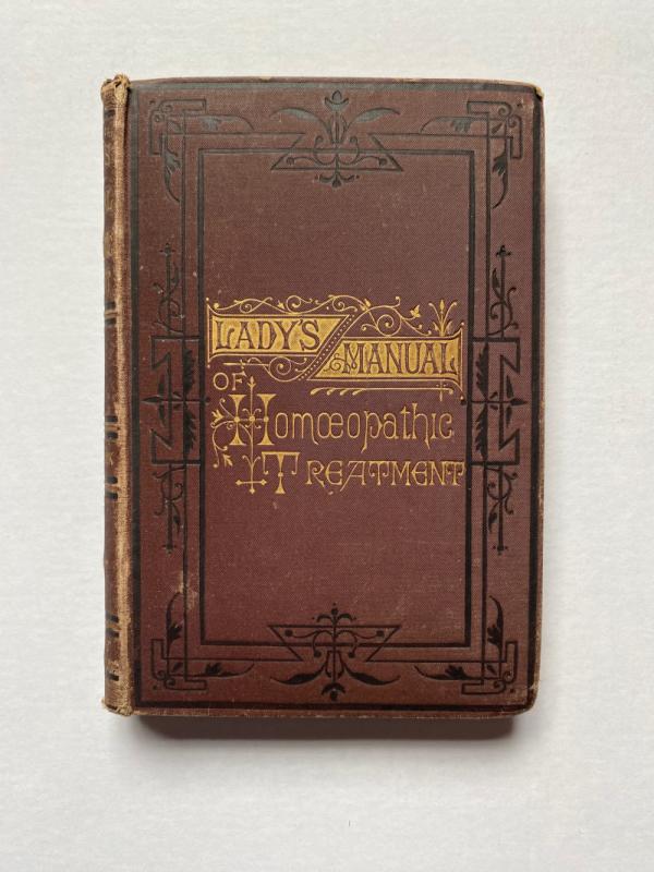
The Lady’s Manual of Homeopathic Treatment in the...
Ruddock
Homeopathic Publishing Company
£35.00
Offered by Arthur Hook
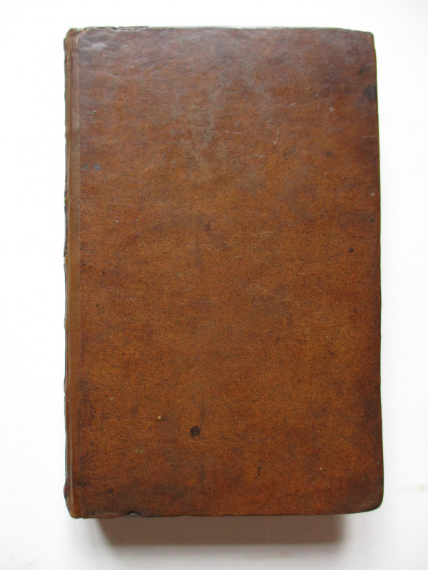
The Experienced English Housekeeper, for the use a...
Raffald
Baldwin
£210.00
Offered by Arthur Hook
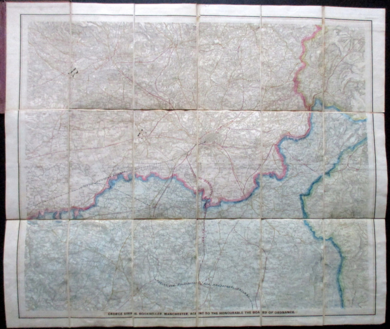
Ordnance Survey Map of Manchester & Neighbourhood...
Simms
Ordnance Survey
£65.00
Offered by Arthur Hook
Friends of the PBFA
For £10 get free entry to our fairs, updates from the PBFA and more.
Please email info@pbfa.org for more information