Poster Map of London’s Transport Systems 1971

Book Description
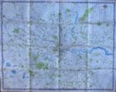
Poster Map of London’s Transport Systems 1971. On paper size 126 by 100 cm. Colour. With a colour-coded key to underground lines and stations; BR lines and stations; bus routes; Green Line coach roads; air and coach termini; hospitals; other places of interest etc. Covers an area from Kings Langley across to Epping and Romford in the north and east and from Weybridge to Orpington in the south. Coded No.2 15/5/71.A large and detailed map. Has been folded. Good to VG condition.
Author
Anon
Date
1971
Publisher
London Transport
Condition
Good to VG
Other books
If you liked the book you've just seen, you might be interested in other books from the same dealer below.
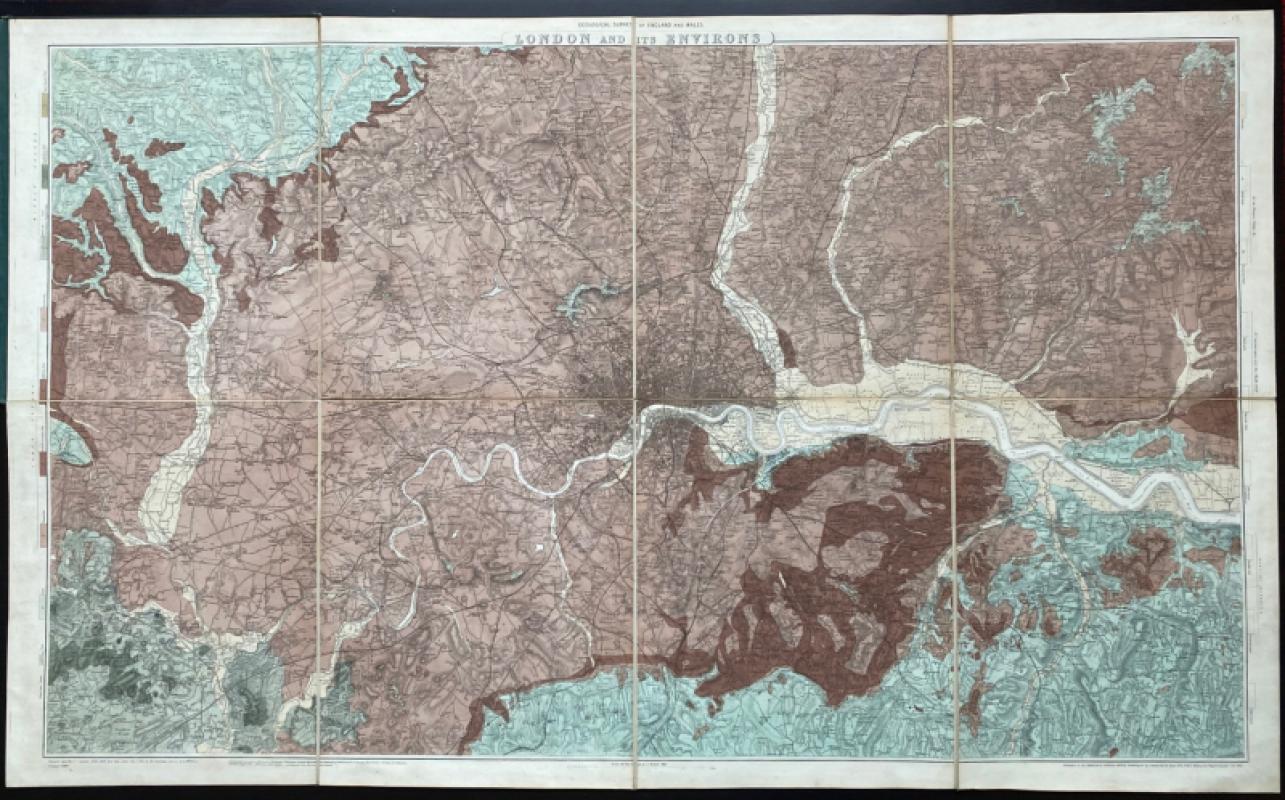
Geological Survey of England and Wales: two maps o...
James
Ordnance Survey
£675.00
Offered by Arthur Hook
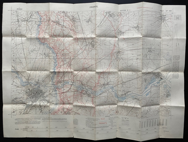
Trench Map of the Arras area France 1917
Ordnance Survey for British General Staff
Ordnance Survey for British General Staff
£165.00
Offered by Arthur Hook
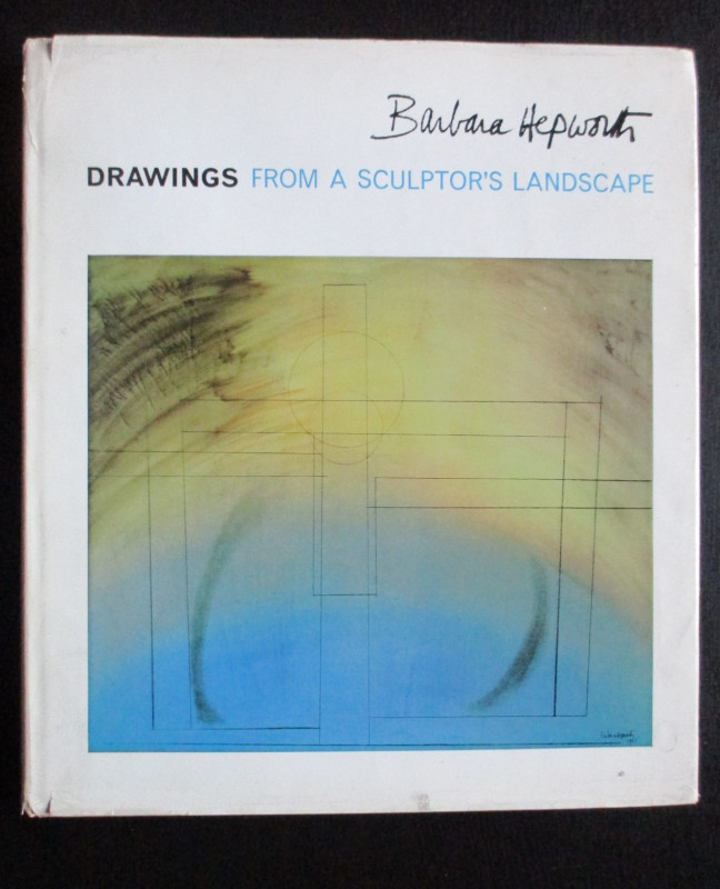
Barbara Hepworth Drawings from a Sculptor’s Landsc...
Hepworth
Cory Adams and Mackay
£45.00
Offered by Arthur Hook
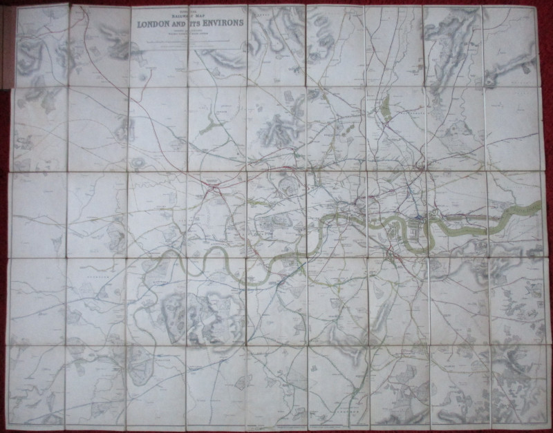
Official Railway Clearing House Map of London and...
Emslie
Railway Clearing House
£220.00
Offered by Arthur Hook
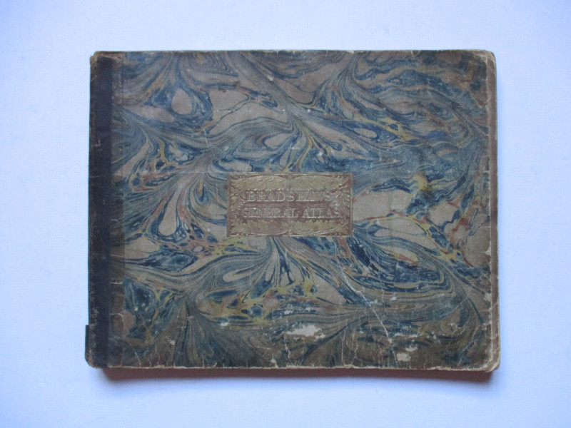
Bradshaw’s General Atlas with the latest Discoveri...
Bradshaw
Bradshaw
£325.00
Offered by Arthur Hook
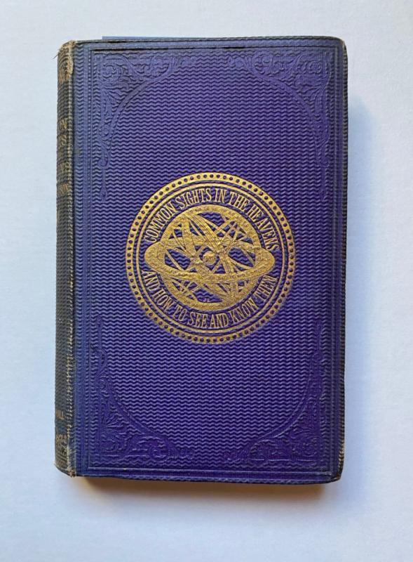
The Common Sights in the Heavens and How to See an...
Drayson
Chapman and Hall
£225.00
Offered by Arthur Hook
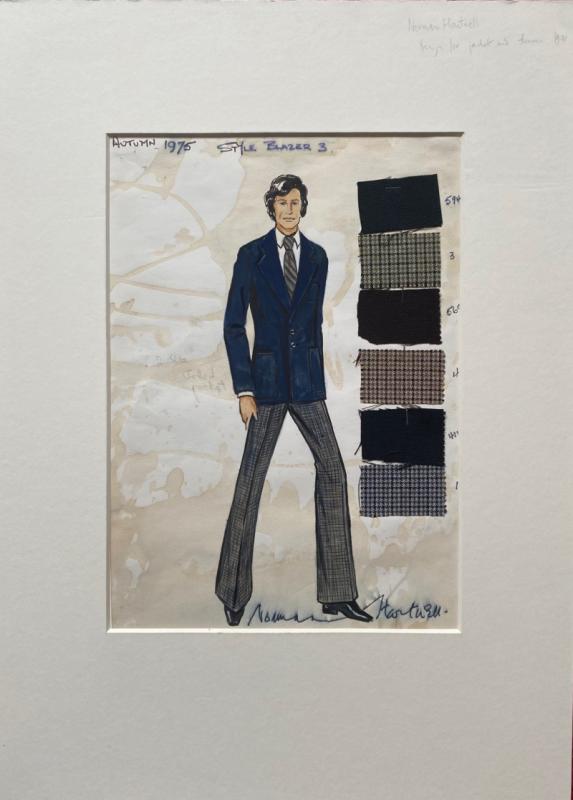
Norman Hartnell original sketched design with fabr...
Hartnell
Unpublished
£175.00
Offered by Arthur Hook
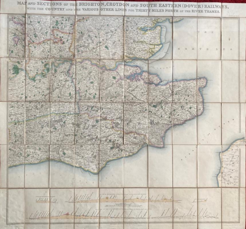
Map and Sections of the Brighton, Croydon and Sout...
Jobbins
Jobbins
£275.00
Offered by Arthur Hook
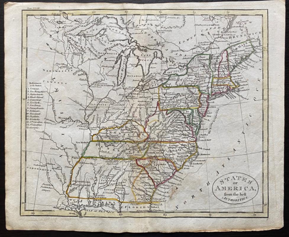
Map of States of America from the Best Authorities
Russell
Rivington, Wilkie and others
£120.00
Offered by Arthur Hook
Friends of the PBFA
For £10 get free entry to our fairs, updates from the PBFA and more.
Please email info@pbfa.org for more information