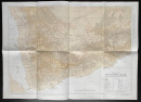
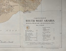
A Sketch Map of South West Arabia showing pre-Islamic Archaeological Sites


Book Description
A Sketch Map of South West Arabia showing pre-Islamic Archaeological Sites, drawn and published by the Royal Geographical Society, London 1976. On paper size 91 by 65 cm. Scale 1:1,000,000. Compiled and with names translated by N St. John Groom. Some colour and a colour-coded key. Sources include works by Doe, Philby, Von Wissman and others. With a key to over 20 geographical and historical features including modern towns and villages, pre-Islamic town sites, settlements overlaid by modern occupation, deserted towns, primary and secondary roads, other pre-Islamic sites, citadels and place names. VG condition.
Author
Groom
Date
1976
Publisher
Royal Geographical Society
Condition
VG
Other books
If you liked the book you've just seen, you might be interested in other books from the same dealer below.
The War of Steel and Gold- Bertrand Russell Signed...
Brailsford
Bell
£450.00
Offered by Arthur Hook
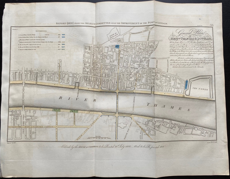
General Plan of Messrs. Telford and Douglass for t...
Telford
Hansard
£250.00
Offered by Arthur Hook
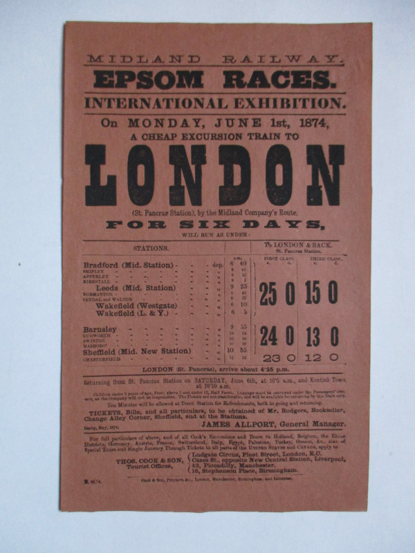
Railway Poster or Handbill Epsom Races 1874
Midland Railway
Thomas Cook
£50.00
Offered by Arthur Hook
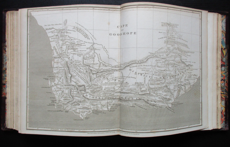
The Atlas Volume from The Cyclopaedia or Universal...
Rees
Longman, Hurst, Rees, Orme and Brown
£345.00
Offered by Arthur Hook
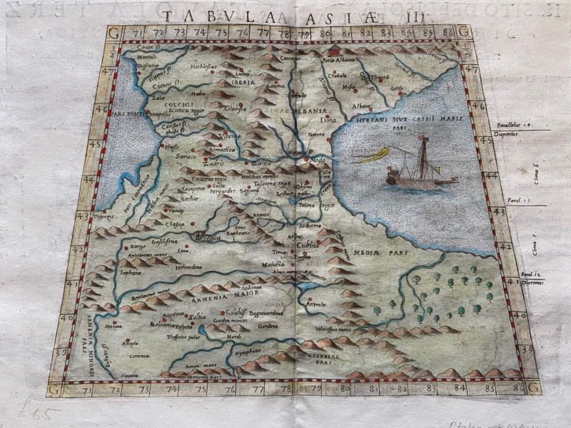
Ptolemy Map of the Caucasus Region: Armenia and pa...
Ptolomey
Pirckheimer
£85.00
Offered by Arthur Hook
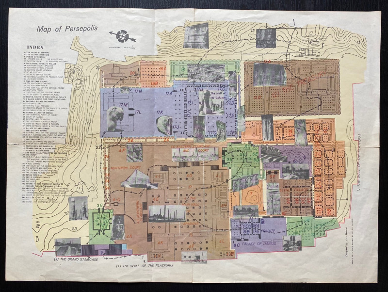
Map of Persepolis & Iran 1955
Hatami
Iranian Government Department of Communications
£45.00
Offered by Arthur Hook


Friends of the PBFA
For £10 get free entry to our fairs, updates from the PBFA and more.
Please email info@pbfa.org for more information