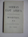
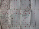
World War One Map of German East Africa
Book Description
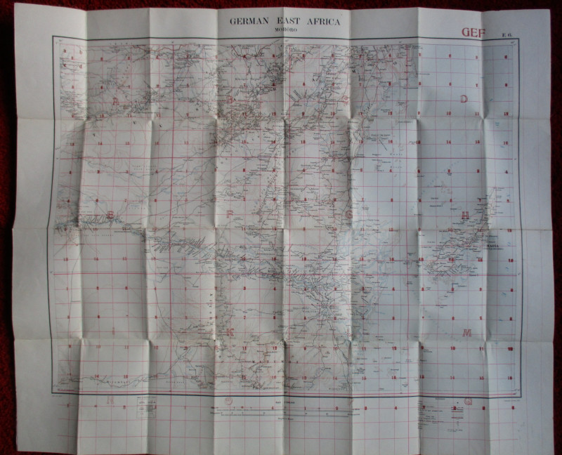
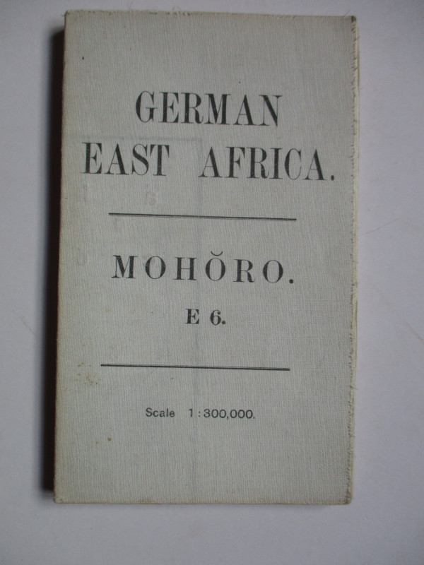
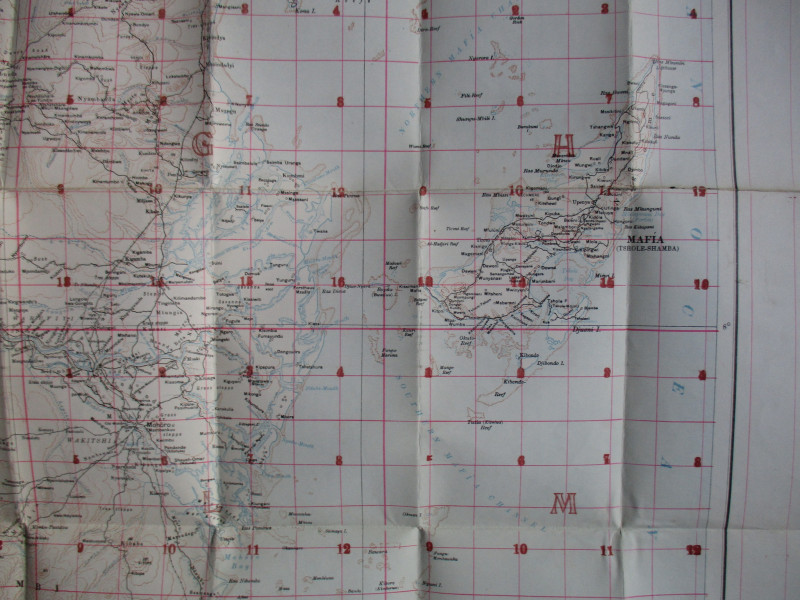
World War One Map of German East Africa. Mohoro, published by the Ordnance Survey 1916. On folding linen size 86 by 71 cm. Scale five miles to the inch or 1:300,000. Coded GSGS 3026 to bottom left corner and GEF E6 above the map. With a key to 14 features including towns, roads, telegraphs, mission stations and railways. Colour. A detailed map in VG condition
Author
Ordnance Survey
Date
1916
Publisher
Ordnance Survey
Other books
If you liked the book you've just seen, you might be interested in other books from the same dealer below.
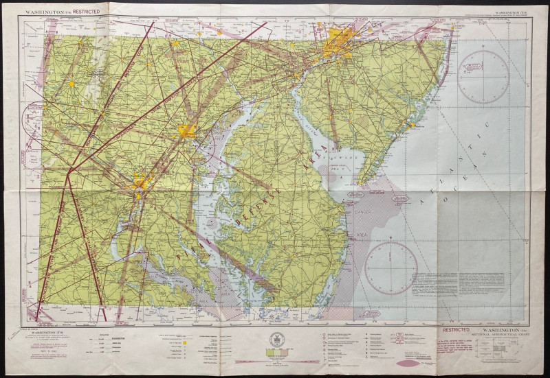
Map of Washington Air Defence Zone 1942
Colbert
US Coast and Geodetic Survey
Reserved
Offered by Arthur Hook
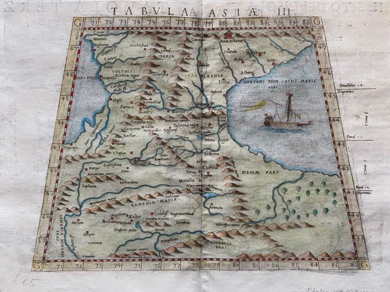
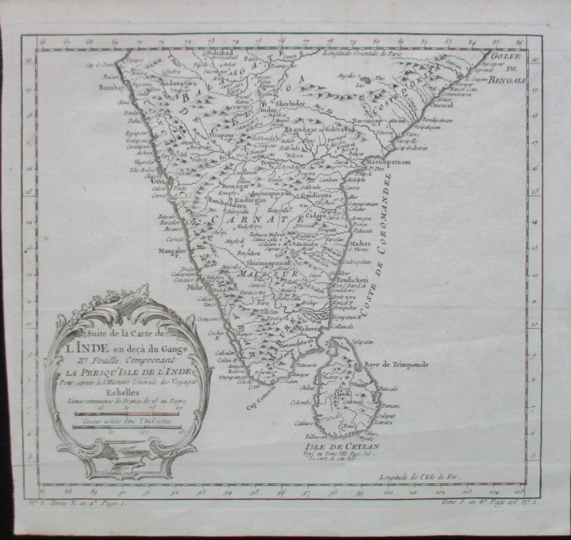
Ptolemy Map of the Caucasus Region: Armenia and pa...
Ptolomey
Pirckheimer
£85.00
Offered by Arthur Hook
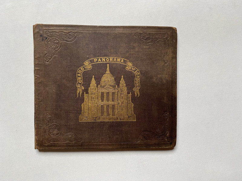
Grand Panorama of London from the Thames 1849
John and Charles Evans
John and Charles Evans
£500.00
Offered by Arthur Hook
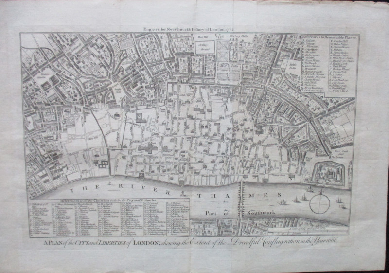
A Plan of the City and Liberties of London; shewin...
Anon
Noorthouck
£120.00
Offered by Arthur Hook
Friends of the PBFA
For £10 get free entry to our fairs, updates from the PBFA and more.
Please email info@pbfa.org for more information