Map of Morocco. Carte de Maroc d’aprės les documents les plus récent.
Book Description
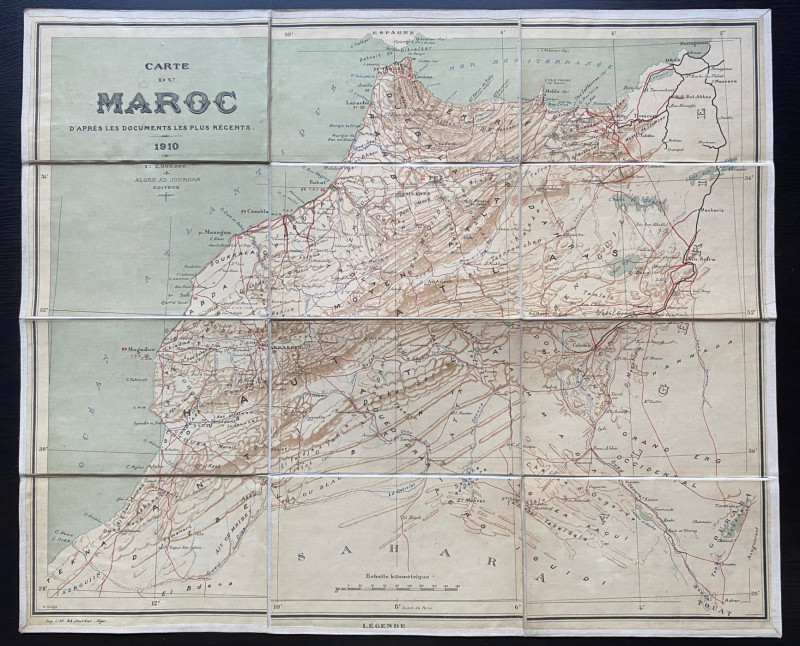
Map of Morocco. Carte de Maroc d’aprės les documents les plus récents, printed and published by Jourdan, Algiers 1910. On folding linen in 12 sections, size 62 by 51 cm. Scale 1:2,000,000. Colour. Heights are indicated by hachuring or shading. Includes roads, railways, rivers, cities, smaller towns and villages plus what might be a symbol for the location of post offices. A detailed map in VG condition.
Author
Jourdan
Date
1910
Publisher
Jourdan
Condition
VG
Other books
If you liked the book you've just seen, you might be interested in other books from the same dealer below.
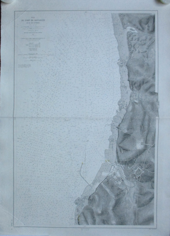
Plan du Port de Boulogne et ses environs
Ploix and Bouillet
Depot des Cartes et Plans de la Marine
£35.00
Offered by Arthur Hook
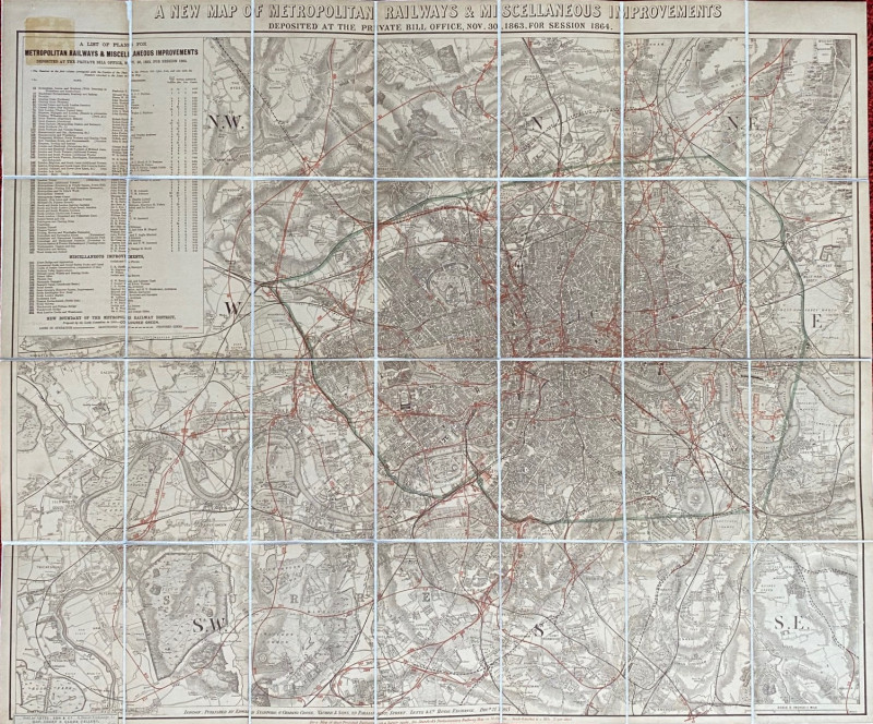
A New Map of Metropolitan Railways and Miscellaneo...
Stanford
Stanford
Reserved
Offered by Arthur Hook
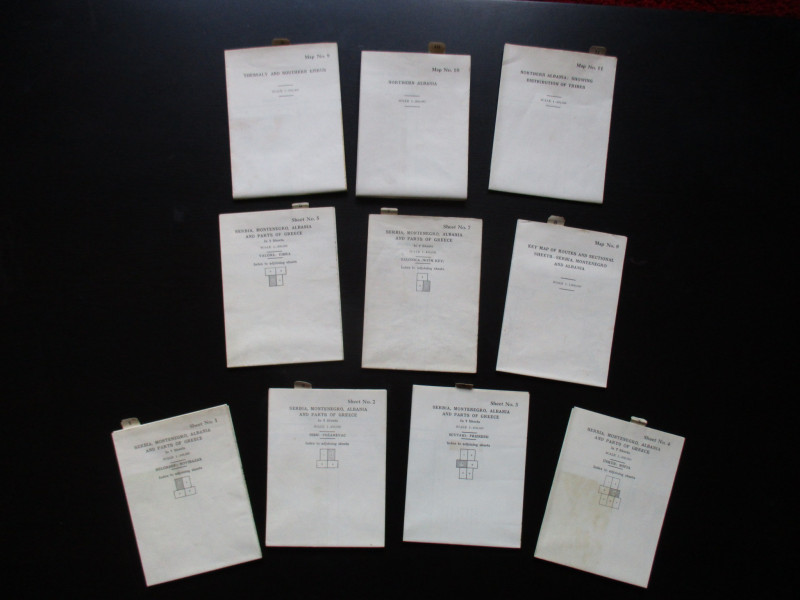
Maps to accompany Handbooks of Serbia, Montenegro...
British Admiralty War Staff
Ordnance Survey & British Admiralty
£295.00
Offered by Arthur Hook
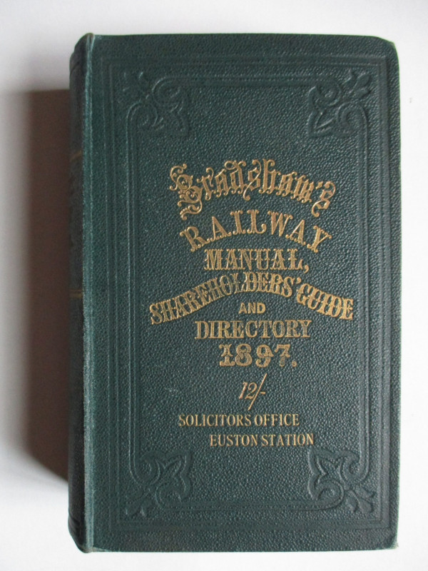
Bradshaw’s Railway Manual, Shareholders’ Guide and...
Anon
Adams and Blacklock
£85.00
Offered by Arthur Hook
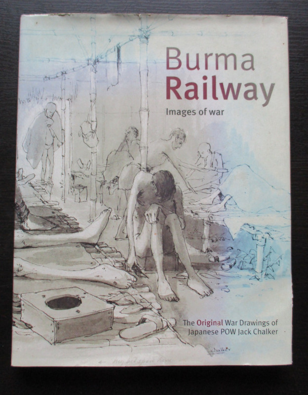
Burma Railway Images of War. The original war draw...
Chalker
Mercer Books
£45.00
Offered by Arthur Hook
Friends of the PBFA
For £10 get free entry to our fairs, updates from the PBFA and more.
Please email info@pbfa.org for more information