Plan du Port de Boulogne et ses environs

Book Description
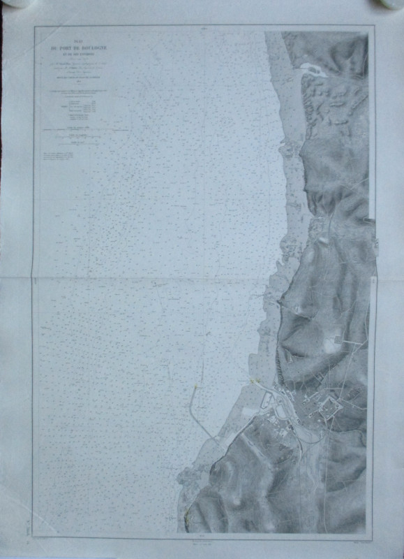
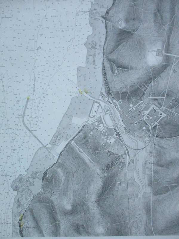
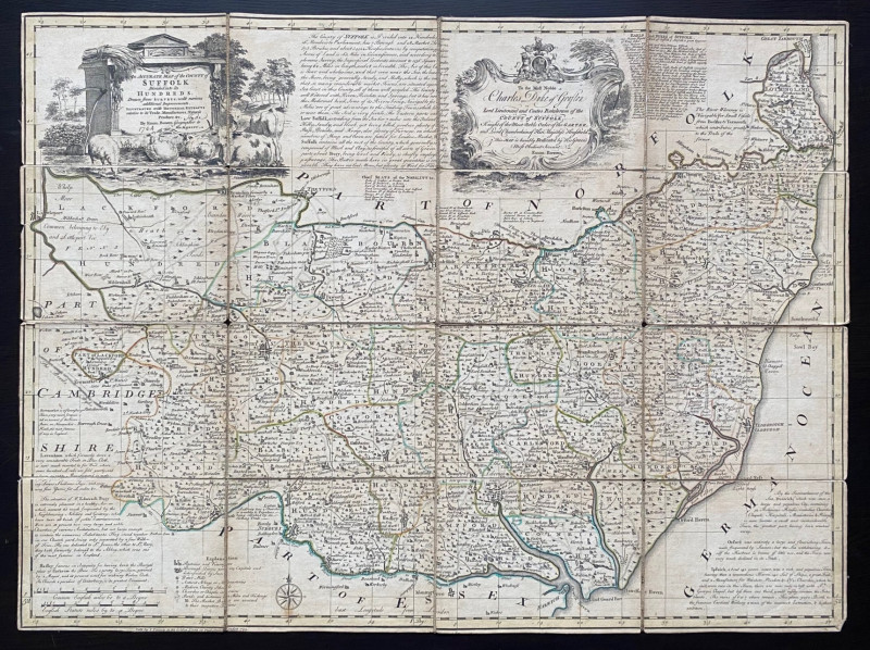
Plan du Port de Boulogne et ses environs A coastal chart showing the English Channel with the port of Boulogne. Drawn by Ploix and Bouillet and published by the Depot des Cartes et Plans de la Marine, Paris 1879. The August 1895 edition. On stiff good quality paper size 105 by 74 cm. Scale 1:14,400 or 5 inches to the nautical mile. Heights shown by hachuring or shading. Lights and lighthouses hand-coloured. Has had one central fold. VG condition.
Author
Ploix and Bouillet
Date
1895
Publisher
Depot des Cartes et Plans de la Marine
Condition
VG
Other books
If you liked the book you've just seen, you might be interested in other books from the same dealer below.
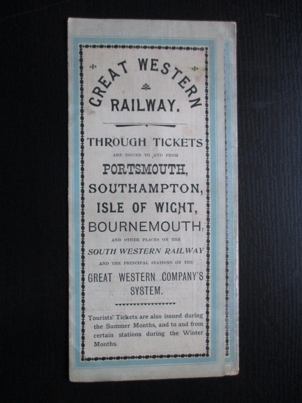
The Great Western Railway of England. Train servic...
GWR
Great Western Railway
£45.00
Offered by Arthur Hook
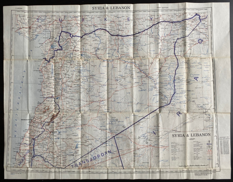
OS War Office Map of Syria and Lebanon 1942
British War Office
British War Office
£30.00
Offered by Arthur Hook
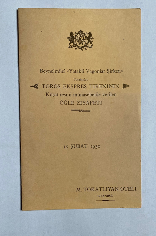
Taurus Express Menu 1930
Hotel Tokatlian Istanbul
Compagnie Internationale des Wagons Lits
£55.00
Offered by Arthur Hook
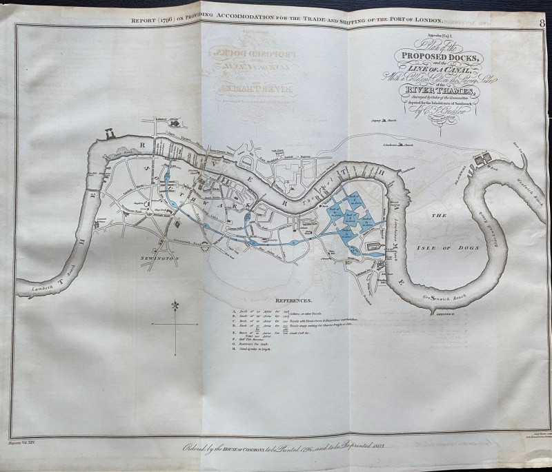
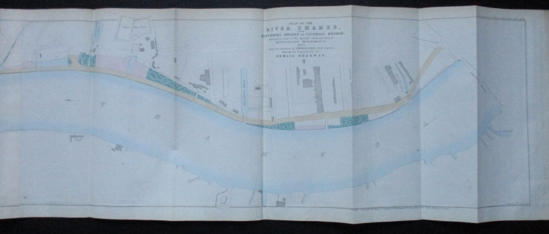
A Plan of the Proposed Docks and Line of a Canal w...
Cracklow
Hansard
£95.00
Offered by Arthur Hook
Friends of the PBFA
For £10 get free entry to our fairs, updates from the PBFA and more.
Please email info@pbfa.org for more information