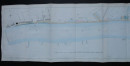
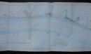
Plan of the River Thames from Battersea Bridge to Vauxhall Bridge 1843
Book Description
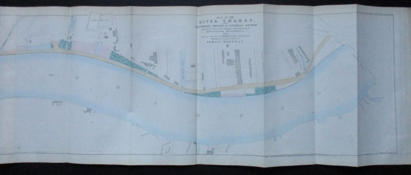
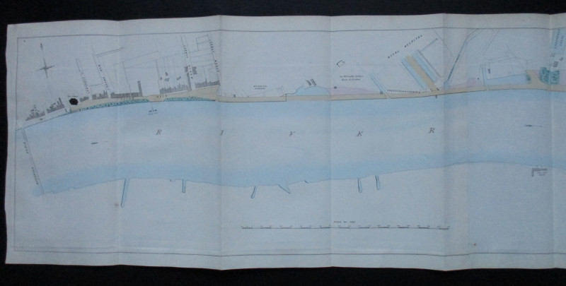
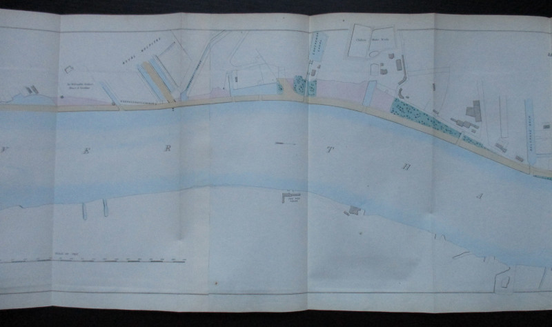
Plan of the River Thames from Battersea Bridge to Vauxhall Bridge surveyed by order of Her Majesty’s Commissioners for Metropolitan Improvements 1843 under the direction of Thomas Page. Printed and Published by Hansard, London 1845. Lithographed by Standidge. A folding map on paper size 145 by 33 cm. Scale 200 feet to the inch. Hand-coloured. The north bank of the Thames is shown in detail. VG condition.
Author
Page
Date
1845
Publisher
Hansard
Illustrator
Standidge
Condition
VG
Other books
If you liked the book you've just seen, you might be interested in other books from the same dealer below.
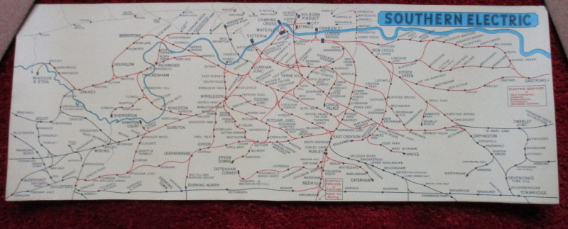
London Railway Map Carriage Print. Southern Electr...
Southern Electric
Southern Electric
£90.00
Offered by Arthur Hook


The Allied Military Missions in Berlin 1945-48
The Chief of Allied Liaison and Protocol Section
Allied Liaison and Protocol Section
£100.00
Offered by Arthur Hook
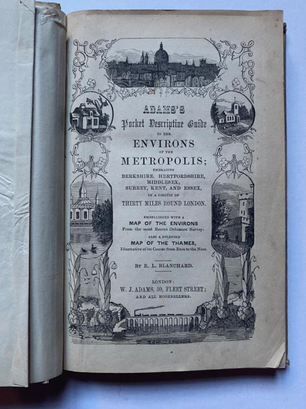
Adams's Pocket Descriptive Guide to the Environs o...
Blanchard
Adams
£125.00
Offered by Arthur Hook

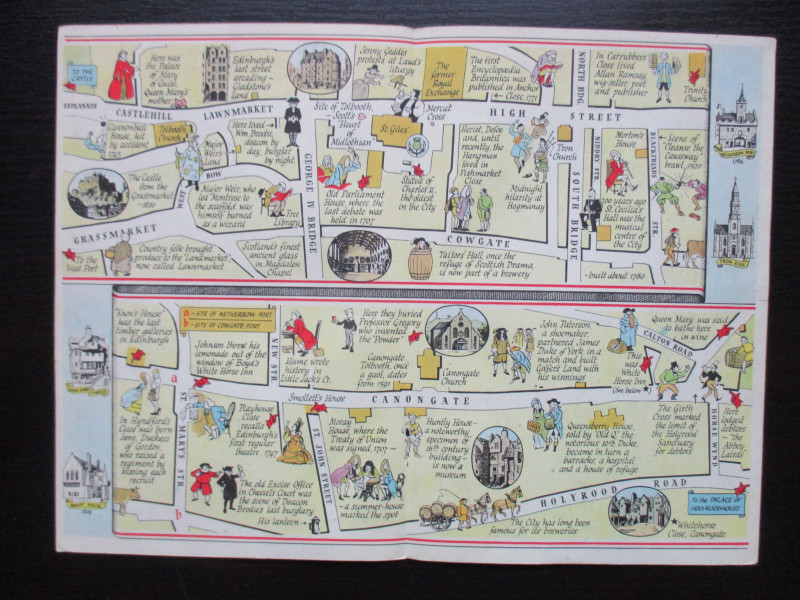
The Royal Mile, Edinburgh. A map displaying the wh...
Sayer
Strand Magazine
£40.00
Offered by Arthur Hook
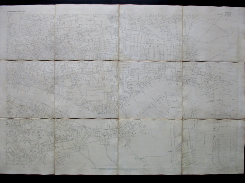
Ordnance Survey map of City of London (part) with...
Yelland
Ordnance Survey
£55.00
Offered by Arthur Hook
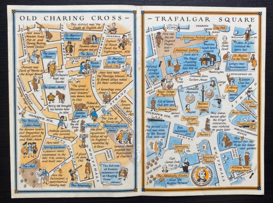
Two Maps of Charing Cross so displayed that the Ch...
Sayer
Strand Magazine
£35.00
Offered by Arthur Hook
Friends of the PBFA
For £10 get free entry to our fairs, updates from the PBFA and more.
Please email info@pbfa.org for more information