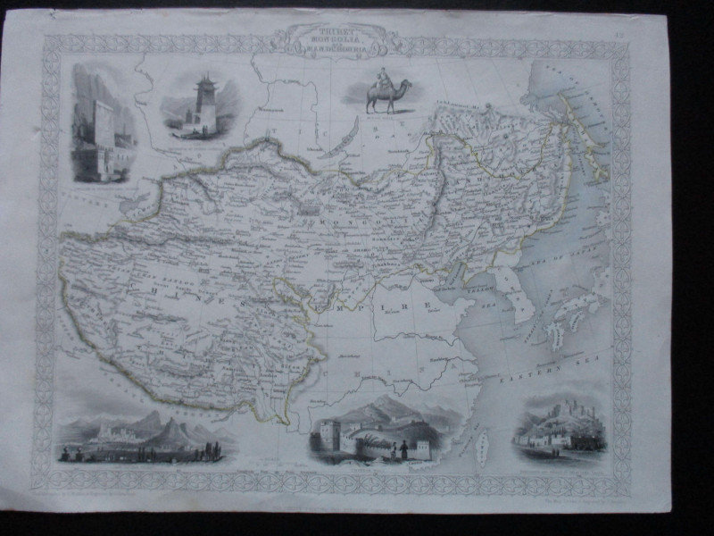
Rapkin Map of Thibet Mongolia and Manchuria 1851


Book Description
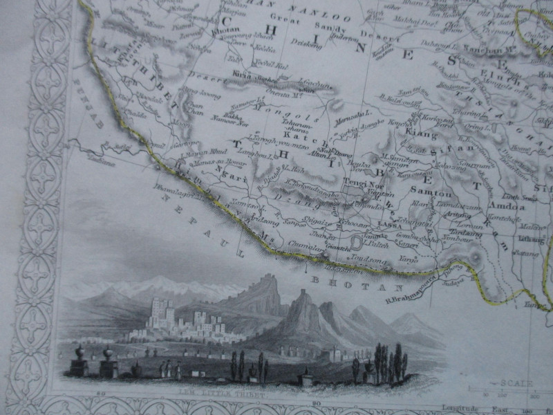
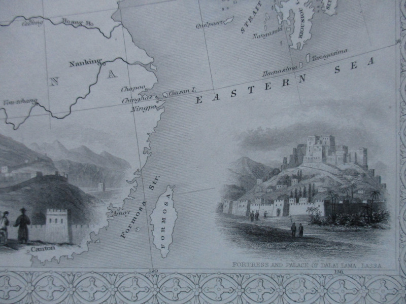
Tallis Map of Thibet Mongolia and Manchuria drawn and engraved by Rapkin, and published by Tallis London 1851. On paper size 35 by 25 cm. Scale 300 miles to the inch. Some colour. Heights shown by shading or hachuring. With six vignettes around the outside of the map showing a variety of scenes and peoples including the Chinese Wall, the fortress and palace of the Dalai Lama and a Mongol noble. VG condition.
Author
Rapkin
Date
1851
Publisher
1851
Illustrator
Rapkin
Condition
VG
Friends of the PBFA
For £10 get free entry to our fairs, updates from the PBFA and more.
Please email info@pbfa.org for more information
