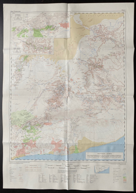
Map of Southern Arabia (Part of Aden Protectorate from Shuqra to al-Shirhr and Baidan to Hadramaut) 1957

Book Description
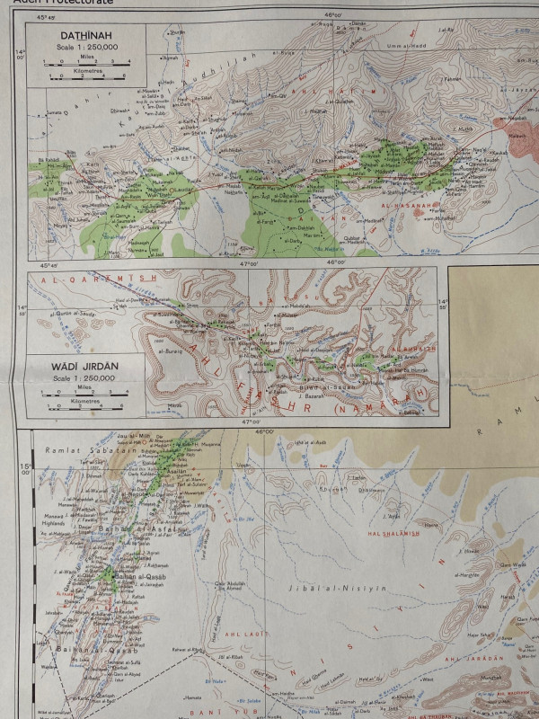
Map of Southern Arabia (Part of Aden Protectorate from Shuqra to al-Shirhr and Baidan to Hadramaut) published by the Royal Geographical Society London 1957. Coded 8000/7/57/ SPC RE. Printed by GSGS 1957. On paper size 68 by 48 cm. Scale 1:500,000. Colour. Includes two inset maps on a larger scale of Dathingh and Wadi Jirdan. With a key to features including towns, villages, ruins, shrines, roads and other routes, landing grounds, tribes, watercourses, passes, cultivation etc. and a glossary of over 50 terms in Arabic used in the map. Has been folded. VG condition.
Author
Royal Geographical Society
Date
1957
Publisher
Royal Geographical Society
Condition
VG
Other books
If you liked the book you've just seen, you might be interested in other books from the same dealer below.
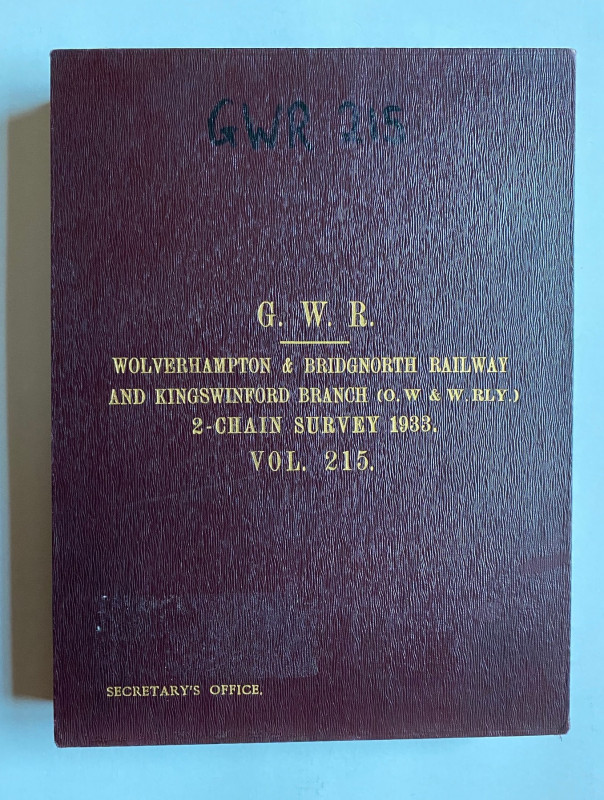
Large Scale Great Western Railway Map. Wolverhampt...
Great Western Railway
Great Western Railway
£300.00
Offered by Arthur Hook
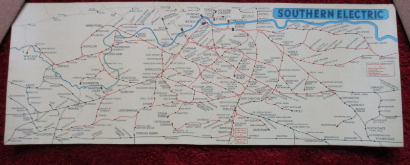
London Railway Map Carriage Print. Southern Electr...
Southern Electric
Southern Electric
£90.00
Offered by Arthur Hook
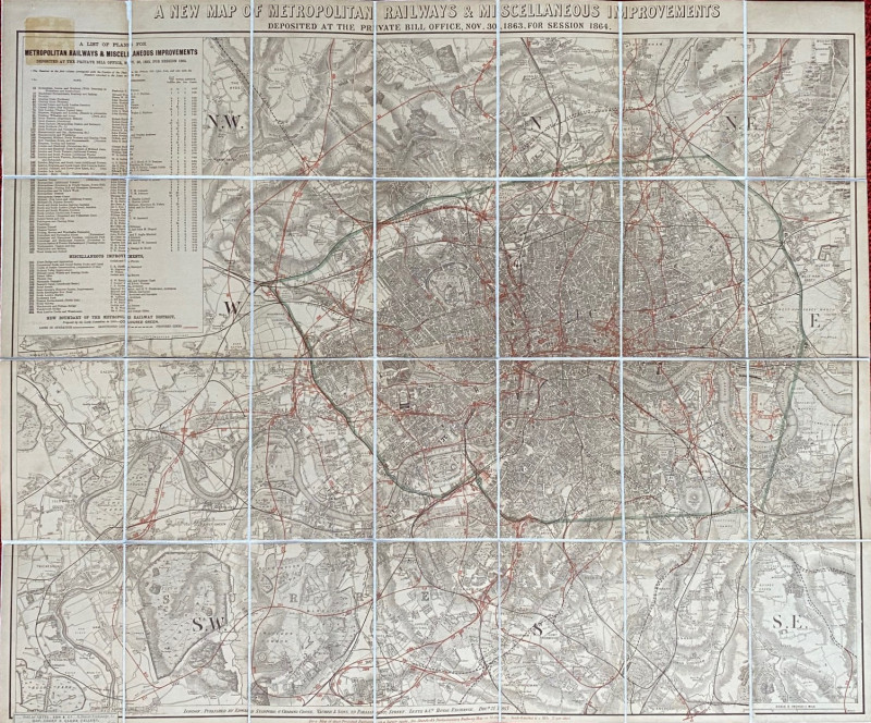
A New Map of Metropolitan Railways and Miscellaneo...
Stanford
Stanford
£300.00
Offered by Arthur Hook
Friends of the PBFA
For £10 get free entry to our fairs, updates from the PBFA and more.
Please email info@pbfa.org for more information