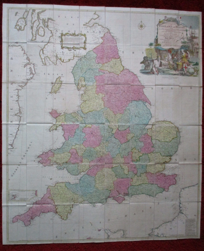
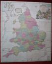
An Accurate Map of England and Wales drawn from all the particular surveys hitherto published by Thomas Kitchin 1760.


Book Description
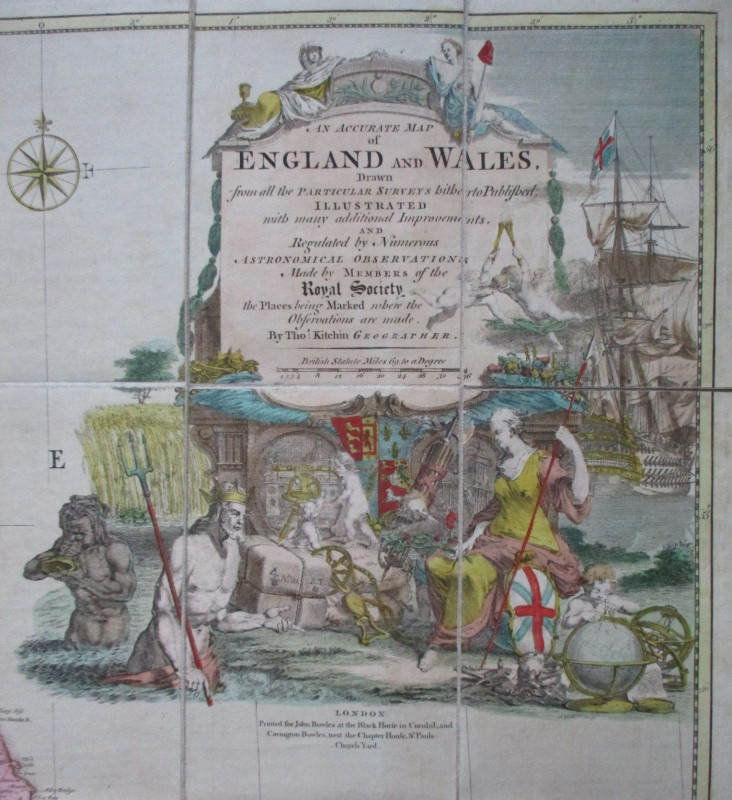
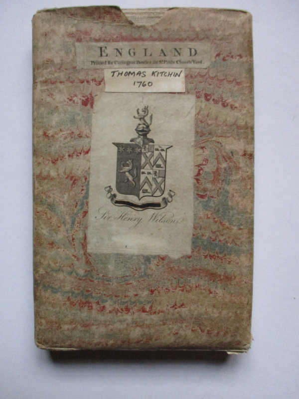
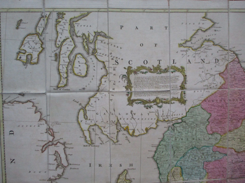
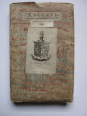
An Accurate Map of England and Wales drawn from all the particular surveys hitherto published, illustrated with many additional improvements, and regulated by numerous astronomical observations made by members of the Royal Society, the places being marked where observations are made, by Thomas Kitchin. Published by Carrington Bowles, London 1760. On folding linen in 48 sections, size 121 by 104 cm. Scale 69 miles to a degree or approximately eleven miles to the inch. Includes a small inset map of the Isles of Scilly. With an attractive decorative cartouche above a large vignette depicting the wealth, power and resources of the nation. Hand-coloured. VG condition. Folds into original marbled slipcase that bears the bookplate of Sir Henry Wilson. Slipcase Good condition with some rubbing. Images available.
Author
Kitchin
Date
1760
Binding
Linen backed map in slipcase
Publisher
1760
Condition
VG
Other books
If you liked the book you've just seen, you might be interested in other books from the same dealer below.
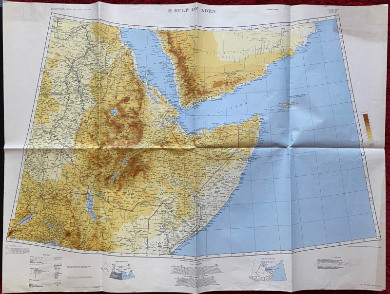
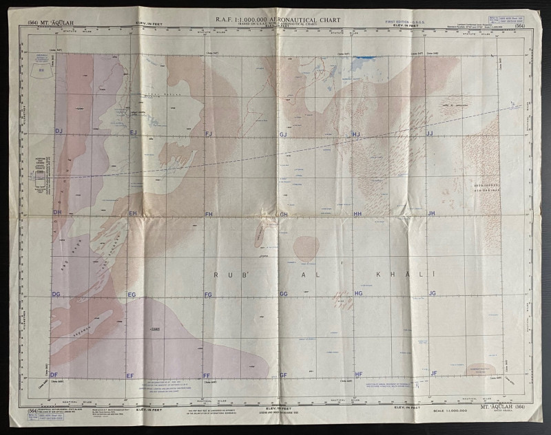
Map of the Gulf of Aden 1956
US Army Map Service, Corps of Engineers
US Army Map Service, Corps of Engineers
£50.00
Offered by Arthur Hook
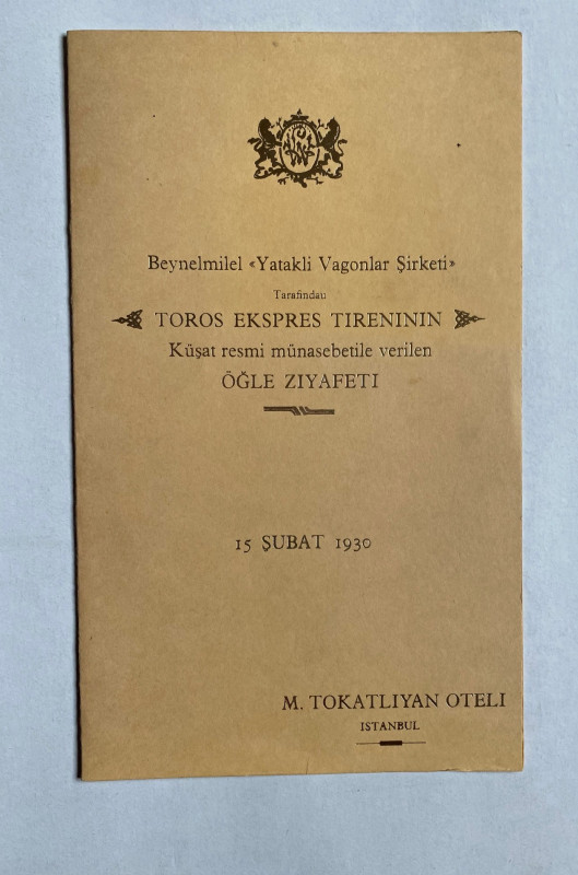
Taurus Express Menu 1930
Hotel Tokatlian Istanbul
Compagnie Internationale des Wagons Lits
£55.00
Offered by Arthur Hook
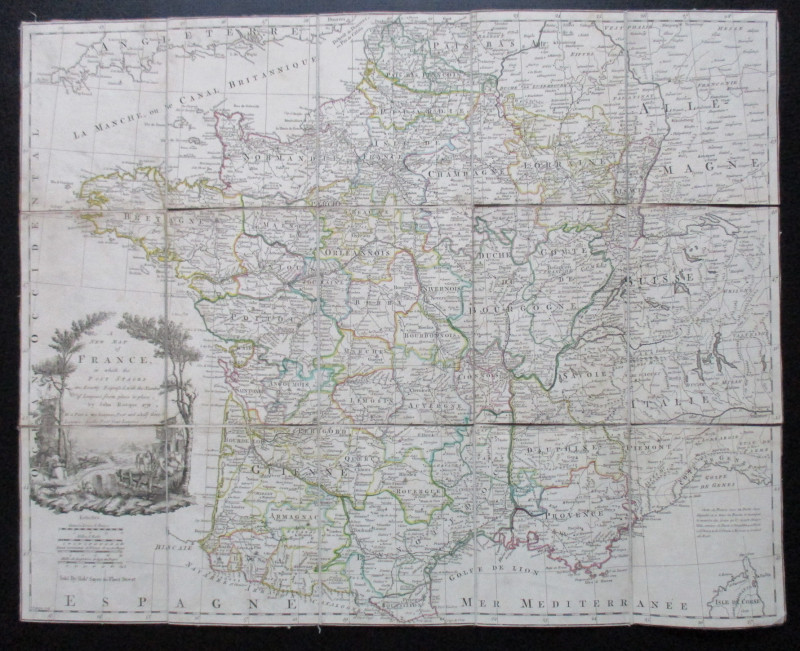
A New Map of France in which the Post Stages are E...
Rocque
Rocque and Sayer
£295.00
Offered by Arthur Hook
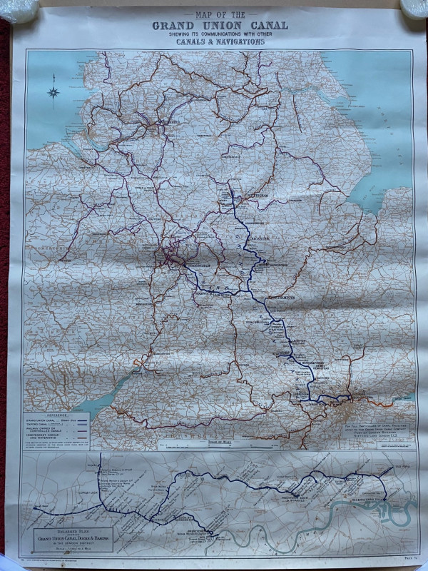
Map of the Grand Union Canal shewing its communica...
Grand Union Canal
Cook, Hammond and Kell
£70.00
Offered by Arthur Hook
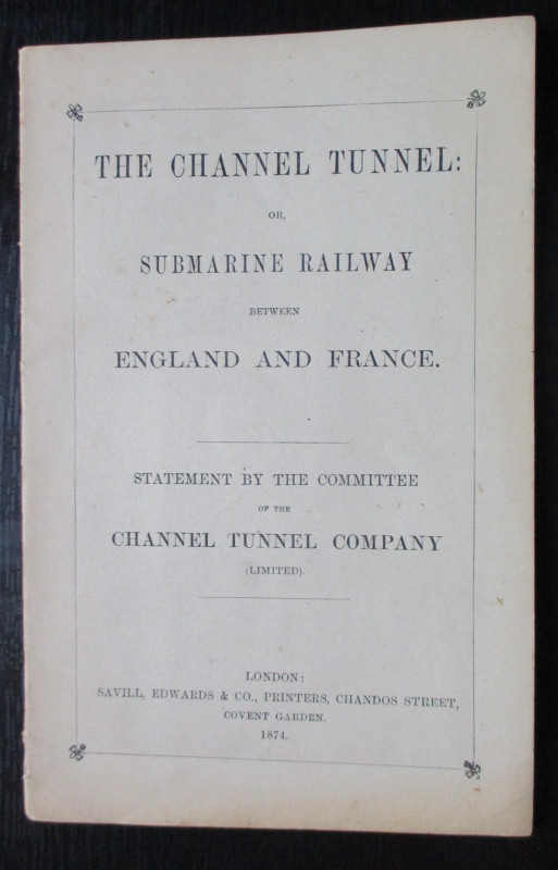
The Channel Tunnel or Submarine Railway between En...
Anon
Channel Tunnel Company
£85.00
Offered by Arthur Hook
Friends of the PBFA
For £10 get free entry to our fairs, updates from the PBFA and more.
Please email info@pbfa.org for more information