Map of the Gulf of Aden 1956

Book Description
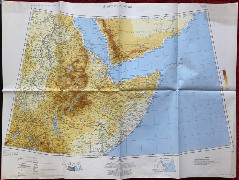
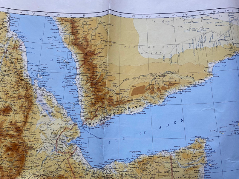
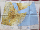
Map of the Gulf of Aden. Published by the US Army Map Service, Corps of Engineers 1956. On paper size 108 by 80 cm. Scale 1;4,000,000. Colour. Coded GSGS 2957, which would seem to indicate that this was a British Army edition. Based on a series of authorities including British-Italian Somaliland boundary survey maps, the Survey of India, Royal Geographical Society maps etc. A key provides information on features such as boundaries, canals, well, railways, roads, telegraphs, deserts and marshlands. Has been folded. A very detailed map in VG condition
Author
US Army Map Service, Corps of Engineers
Date
1956
Publisher
US Army Map Service, Corps of Engineers
Condition
VG
Other books
If you liked the book you've just seen, you might be interested in other books from the same dealer below.
Nouveau Manual Complet du Terrassier et de l’Entre...
Etienne and Masson
Roret
£50.00
Offered by Arthur Hook
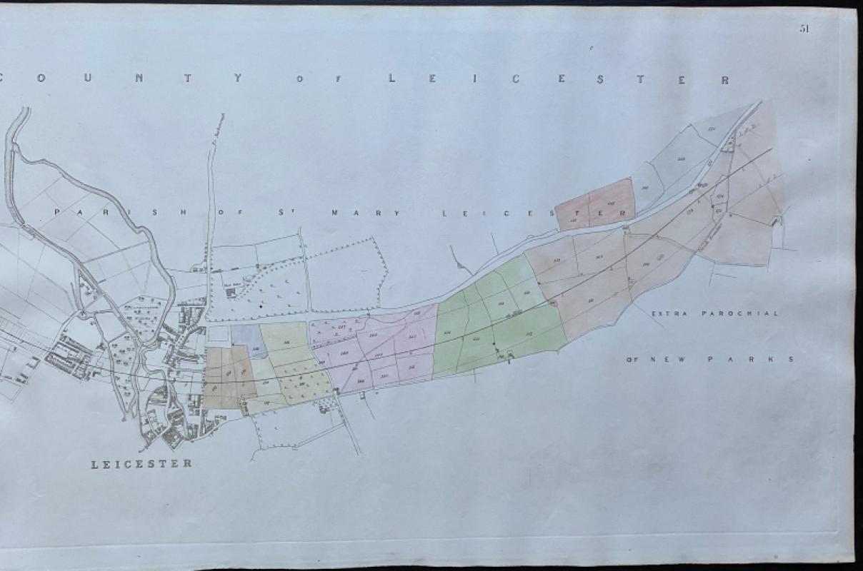
Map of Leicester and the Parish of St. Mary Leices...
Rennie
Arrowsmith
£50.00
Offered by Arthur Hook
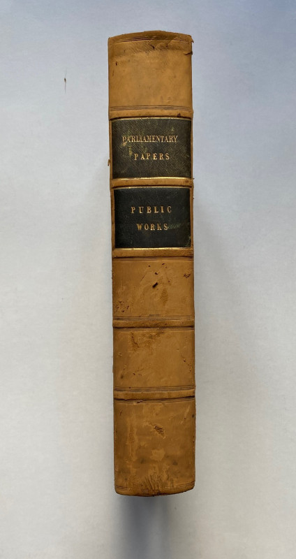
Parliamentary Reports on London and the Survey of...
House of Commons
Hansard
£235.00
Offered by Arthur Hook
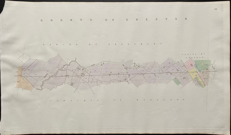
Map of the Parish of Prestbury to the Parish of Ch...
Rennie
Arrowsmith
£35.00
Offered by Arthur Hook

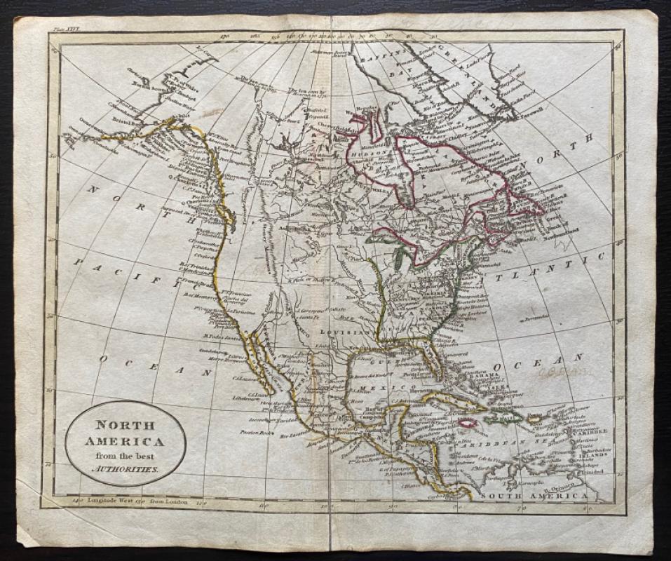
Map of North America from the Best Authorities
Russell
Rivington, Wilkie and others
£100.00
Offered by Arthur Hook
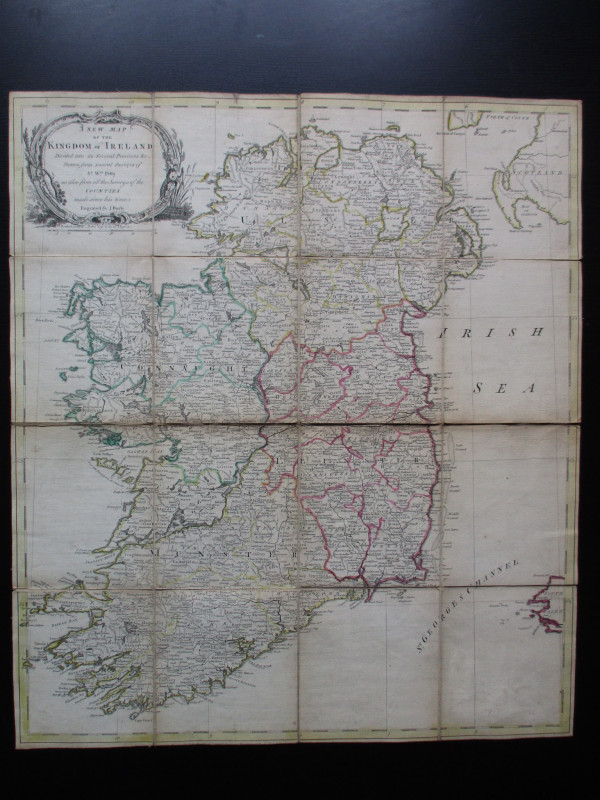
A New Map of the Kingdom of Ireland Divided into i...
Bayly
Carrington Bowles
£325.00
Offered by Arthur Hook
Friends of the PBFA
For £10 get free entry to our fairs, updates from the PBFA and more.
Please email info@pbfa.org for more information