Map of the Grand Union Canal shewing its communications with other Canals and Navigations

Book Description
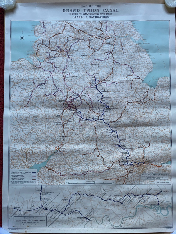
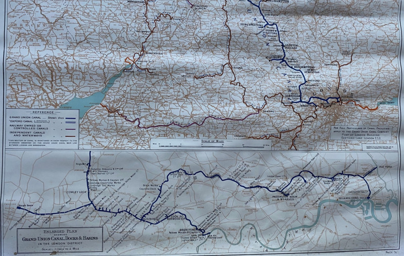
Map of the Grand Union Canal shewing its communications with other Canals and Navigations published by Cook, Hammond and Kell, London 1942. On paper size 98 by 74 cm. Scale seven miles to the inch. A detailed poster sized map. Includes a large inset map of the Grand Union Canal Docks and Basins in the London District on a scale of one inch to the mile. Colour. With a key to the Grand Union, the Oxford Canal, railway owned or controlled canals and independent canals and waterways. Has been rolled and slightly creased. Minor foxing or age toning to reverse. Good to VG condition.
Author
Grand Union Canal
Date
1942
Publisher
Cook, Hammond and Kell
Condition
Good to VG
Other books
If you liked the book you've just seen, you might be interested in other books from the same dealer below.
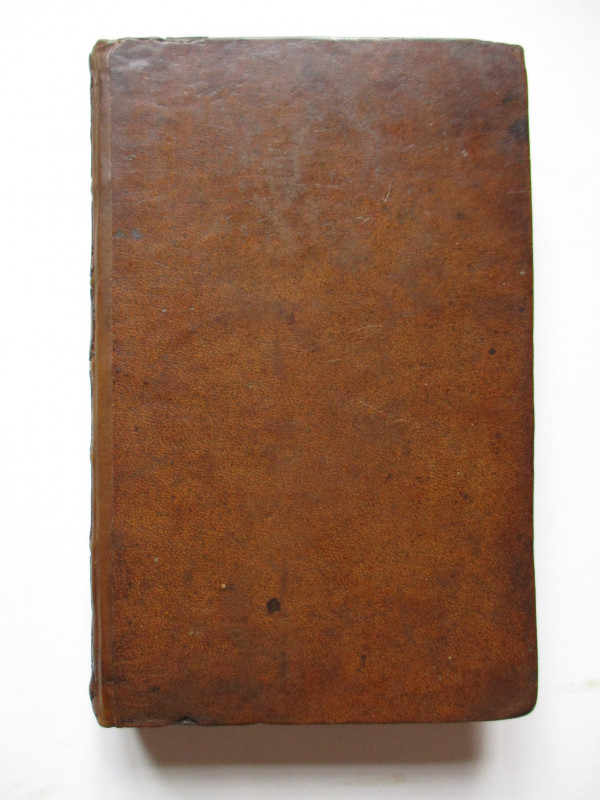
The Experienced English Housekeeper, for the use a...
Raffald
Baldwin
£210.00
Offered by Arthur Hook
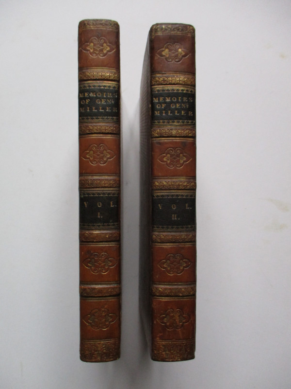
Memoirs of General Miller in the Service of the Re...
Miller
Longman, Rees, Orme, Brown and Green
£750.00
Offered by Arthur Hook
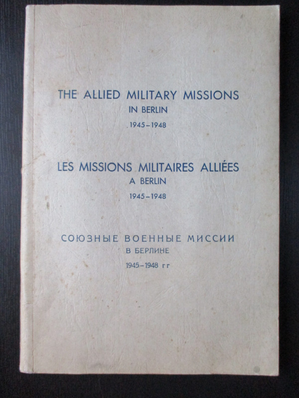
The Allied Military Missions in Berlin 1945-48
The Chief of Allied Liaison and Protocol Section
Allied Liaison and Protocol Section
£100.00
Offered by Arthur Hook
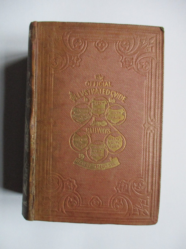
The Official Illustrated Guide to the Great Wester...
Measom
Griffin Bohn
£220.00
Offered by Arthur Hook
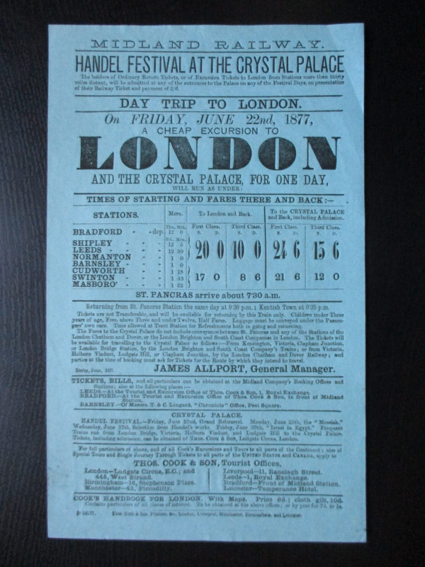
Midland Railway Poster or Handbill. Day Trips to t...
Midland Railway
Thomas Cook
£45.00
Offered by Arthur Hook
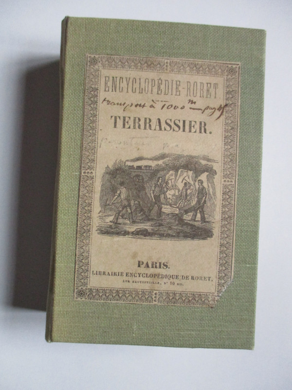
Nouveau Manual Complet du Terrassier et de l’Entre...
Etienne and Masson
Roret
£50.00
Offered by Arthur Hook
Friends of the PBFA
For £10 get free entry to our fairs, updates from the PBFA and more.
Please email info@pbfa.org for more information