Plan of the River Thames from London Bridge to King’s Mooring Chains at Deptford 1803

Book Description
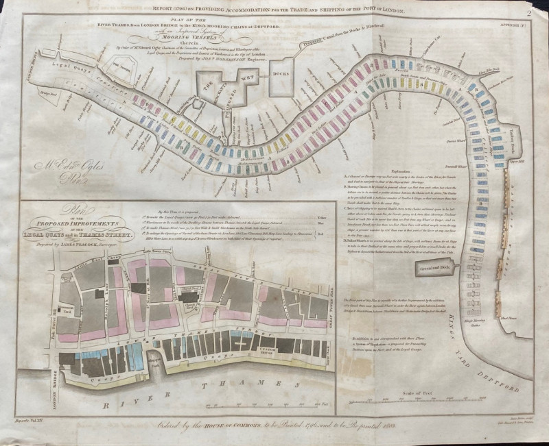
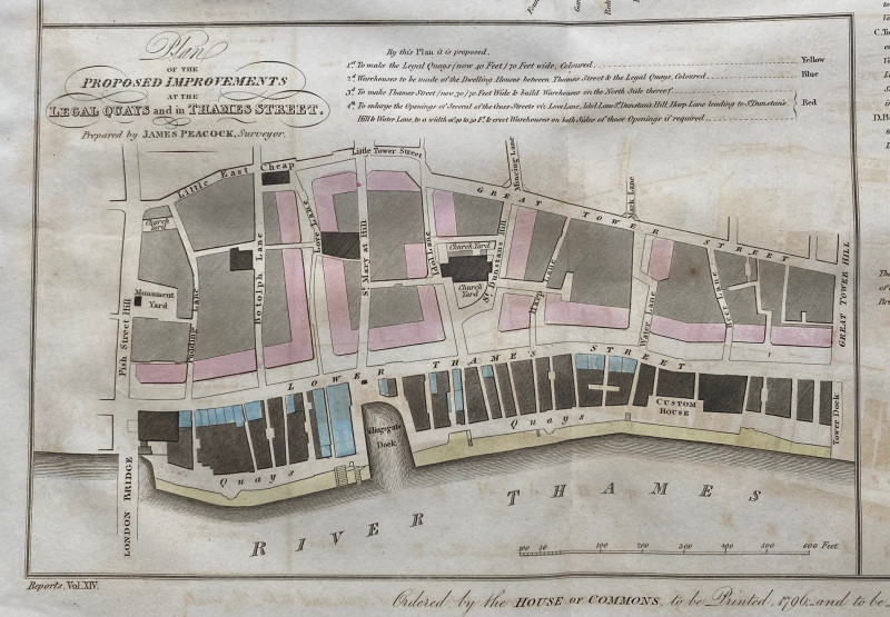
Plan of the River Thames from London Bridge to King’s Mooring Chains at Deptford with an Improved System of Mooring Vessels Therein by Josiah Hodkinson, engraved by Basire and published by Hansard for the House of Commons 1803. On paper size 53 by 42 cm. Scale 750 feet to the inch, with the inset plan of the Legal Quays and Thames Street on a scale of 200 feet to the inch. Hodkinson’s plan shows dozens of docks, stairs, wharves and moorings from London Bridge and the Tower down river to Deptford. It gives an impression of the sheer numbers of vessels that had to be moored close to the heart of the city and how that was to be organised to enable navigation up and down the Thames. Some hand-colouring. The inset map covers an area between London Bridge and Fish Street Hill east to Tower Hill and includes all the streets south from Little East Cheap and Great Tower Street down to the river. Has been folded. VG condition.
Author
Basire
Date
1803
Publisher
Hansard
Illustrator
Basire
Condition
VG
Other books
If you liked the book you've just seen, you might be interested in other books from the same dealer below.
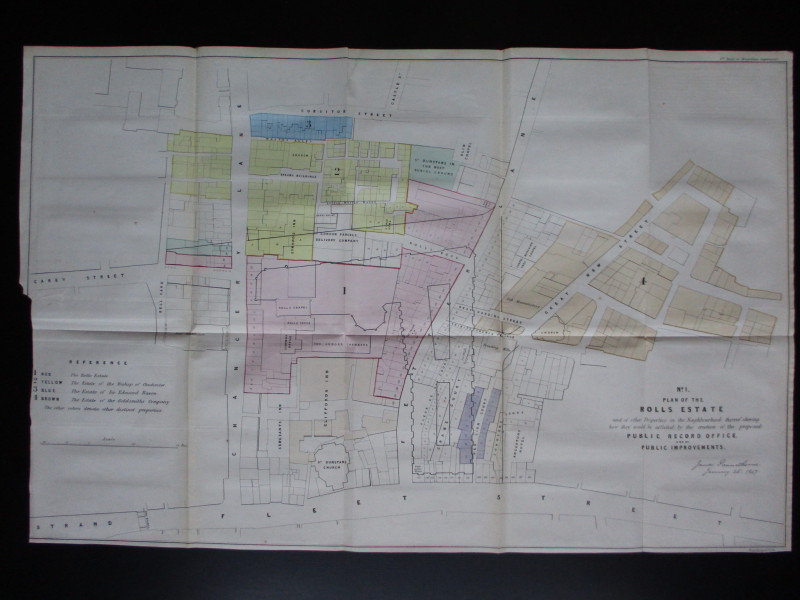
Four Plans for the development of the Central Lond...
Pennethorne
Hansard
£125.00
Offered by Arthur Hook


Map of Persepolis & Iran 1955
Hatami
Iranian Government Department of Communications
£45.00
Offered by Arthur Hook


Map of the Gulf of Aden 1956
US Army Map Service, Corps of Engineers
US Army Map Service, Corps of Engineers
£50.00
Offered by Arthur Hook
Friends of the PBFA
For £10 get free entry to our fairs, updates from the PBFA and more.
Please email info@pbfa.org for more information