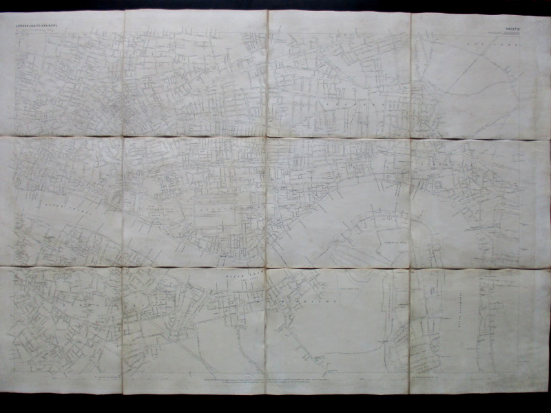
Davies’s Map of the Environs of London 1855


Book Description
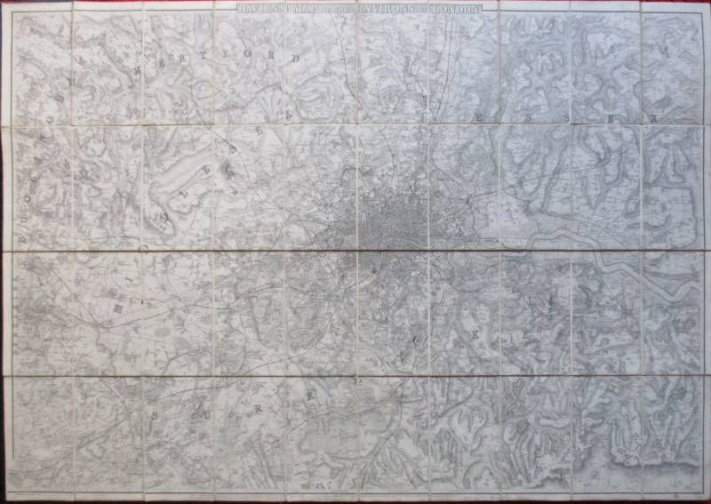
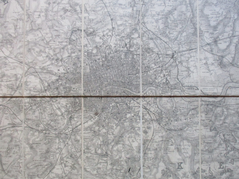
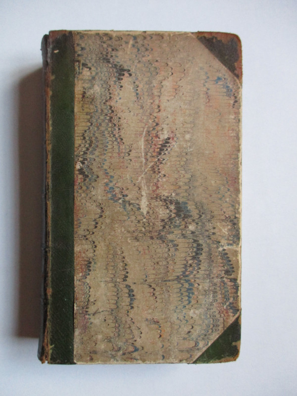
Davies’s Map of the Environs of London. Published by Davies, London 1855. On folding linen in 32 sections, size 110 by 80 cm. Scale one inch to the mile. Includes a key to railways finished, railways in progress, distances from London, cemeteries and parks. Uncoloured. Heights indicated by hachuring. Covers an area from Chesham to Chipping Ongar in the north and from Woking to Wrotham in the south. The map captures the growth of London and its railways in the mid-nineteenth century in great detail. Folds into new cloth covered boards with the title gold-stamped to the front. New endpapers. VG condition.
Author
Davies
Date
1855
Binding
Folds into stiff boards
Publisher
Davies
Condition
Good to VG
Other books
If you liked the book you've just seen, you might be interested in other books from the same dealer below.

Norman Hartnell original sketched design with fabr...
Hartnell
Unpublished
£175.00
Offered by Arthur Hook
The Experienced English Housekeeper, for the use a...
Raffald
Baldwin
£210.00
Offered by Arthur Hook
Ordnance Survey map of City of London (part) with...
Yelland
Ordnance Survey
£55.00
Offered by Arthur Hook
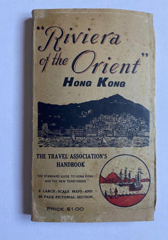
Hong Kong Riviera of the Orient
Hong Kong Travel Association
Hong Kong Travel Association
£775.00
Offered by Arthur Hook
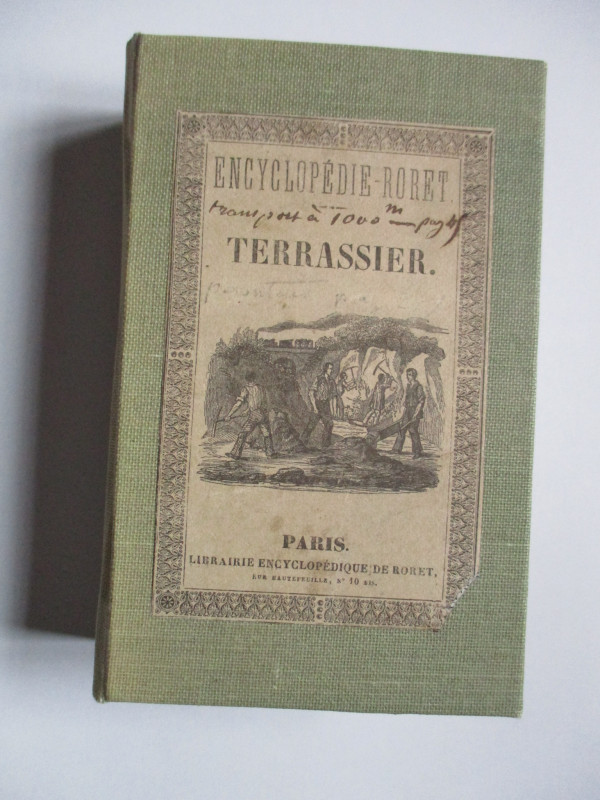
Nouveau Manual Complet du Terrassier et de l’Entre...
Etienne and Masson
Roret
£50.00
Offered by Arthur Hook
Scenes of Commerce by Land and Sea or Where Does i...
Taylor
Grant and Grffith
£45.00
Offered by Arthur Hook
Four Plans for the development of the Central Lond...
Pennethorne
Hansard
£125.00
Offered by Arthur Hook
Friends of the PBFA
For £10 get free entry to our fairs, updates from the PBFA and more.
Please email info@pbfa.org for more information