Plan for the London Connecting Railway: a Metropolitan Improvement Plan by John Martin
Book Description
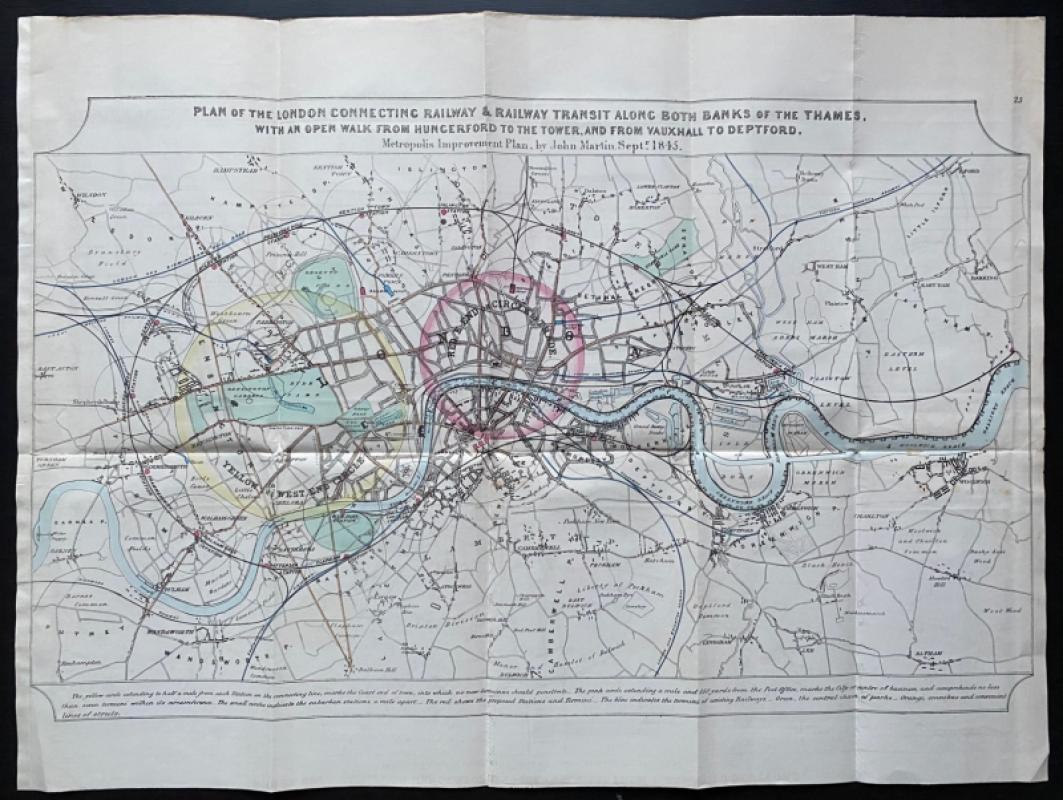
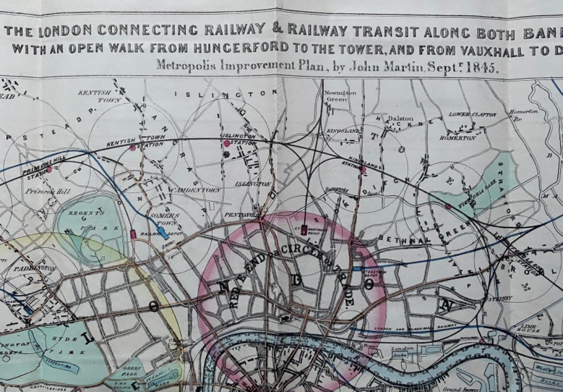
Plan for the London Connecting Railway & Railway Transit along both banks of the Thames, with an open walk from Hungerford to the Tower, and from Vauxhall to Deptford, a Metropolitan Improvement Plan by John Martin, September 1845. Published by Hansard for the House of Commons, London. On paper size 75 by 56 cm. Covers an area from Wilsdon (Willesden), Hampstead and Islington across to Ilford and Barking in the north and from Roehampton, Wandsworth and Dulwich to Eltham in the south. Hand-coloured. The map was Martin’s response to the spread of railways in London and the pressure to link the railway termini at the expense of the city centre. He seems to have drawn a map that kept the centre intact and protect it from the kind of development that had seen railways thrust their way way into London. The map shows Martin’s solution: protect the city whilst linking the the lines of the different companies by a series of loops around the capital. A detailed map that shows the extent of London just before the Great Exhibtion, with the villages and hamlets outside the the centre still showing their separate identities. Both sides have been cropped just outside the margins and are now rebacked to give the map symmetry. Has been folded. VG condition.
Author
John Martin
Date
1845
Publisher
Hansard
Condition
Good to VG
Other books
If you liked the book you've just seen, you might be interested in other books from the same dealer below.
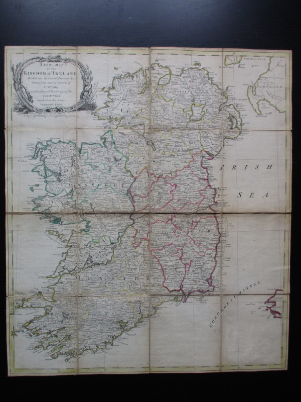
A New Map of the Kingdom of Ireland Divided into i...
Bayly
Carrington Bowles
£325.00
Offered by Arthur Hook
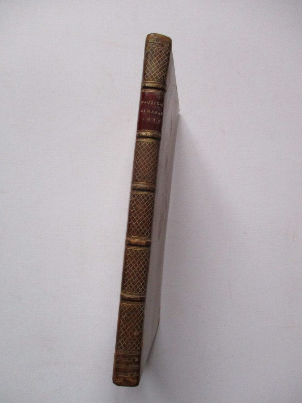
The Nautical Almanac and Astronomical Ephemeris fo...
Maskelyne
John Murray for the Commissioners of Longitude
£175.00
Offered by Arthur Hook
Set of 9 OS Maps of South-East England circa 1845
Ordnance Survey
Ordnance Survey
£750.00
Offered by Arthur Hook

The London Almanack for the Year of Christ 1841
Anon
The London Company of Stationers
£125.00
Offered by Arthur Hook
International Atlas of Clouds and Types of Skies
Anon
Office Nationale Metéorologique
£125.00
Offered by Arthur Hook
The Channel Tunnel or Submarine Railway between En...
Anon
Channel Tunnel Company
£85.00
Offered by Arthur Hook
Friends of the PBFA
For £10 get free entry to our fairs, updates from the PBFA and more.
Please email info@pbfa.org for more information