Map of Paris 1889
Book Description
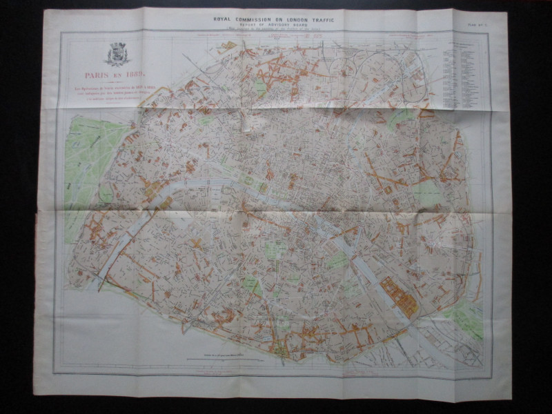
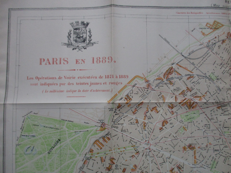
A Map of Paris 1889 by Alphand and Fauve. Paris En 1889. Les Operations de Voirie executes de 1873 à 1889 sont indiquées par les tientes jaunes et rouges (new roads and changes are shown in yellow and red). lithographed by Weller and Graham, London 1905 from a map originally published in Paris, 1889. A folding map on paper size 83 by 68 cm. Scale approximately 400 metres to the inch or 1:16,000. With a key to 80 streets in 20 arrondissements and quartiers. A very detailed map with almost every street named, all railways, stations etc. Includes the coat of arms of the city above the title.
Author
Alphand and Fauve
Date
1905
Publisher
Hansard
Illustrator
Alphand and Fauve
Condition
VG
Other books
If you liked the book you've just seen, you might be interested in other books from the same dealer below.

Geological Map of England and Wales with all the R...
Murchison
Stanford
£75.00
Offered by Arthur Hook
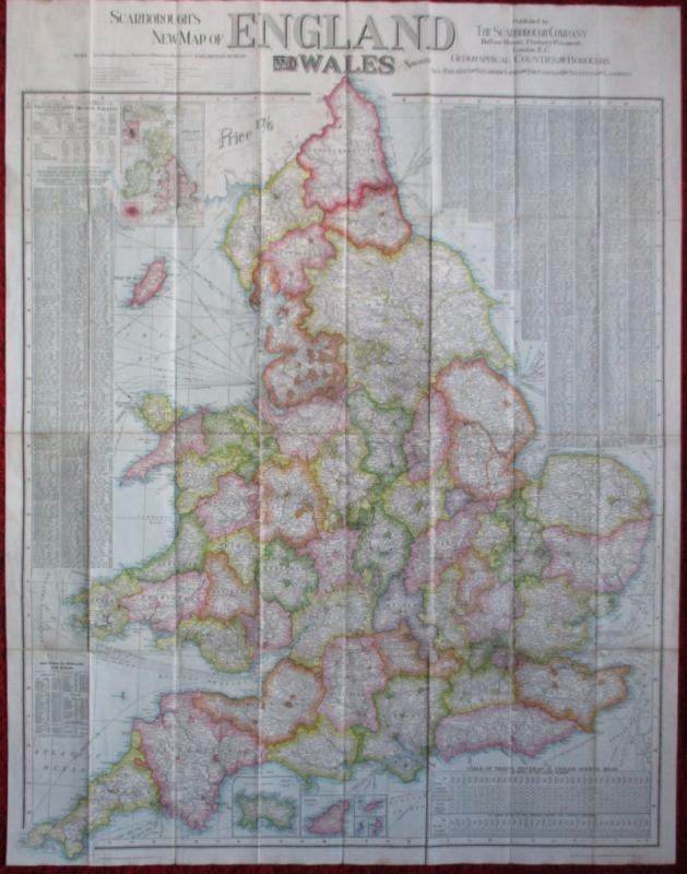
Scarborough’s Map of the British Isles shewing Geo...
Anon
The Scarborough Company
£100.00
Offered by Arthur Hook
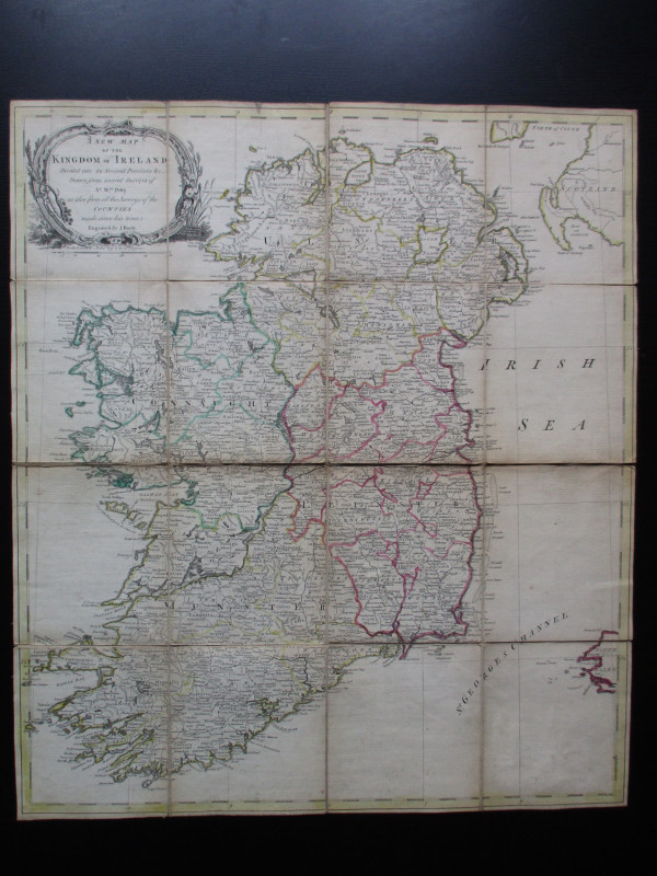
A New Map of the Kingdom of Ireland Divided into i...
Bayly
Carrington Bowles
£325.00
Offered by Arthur Hook
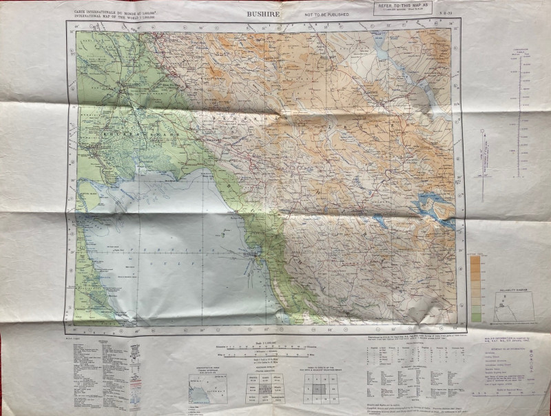
Map of Bushire (Persian Gulf) 1942
British War Office
British War Office
£75.00
Offered by Arthur Hook
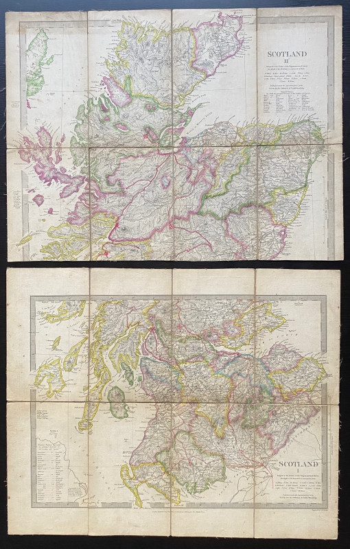
Map of Scotland with a Plan of Edinburgh 1834
Baldwin and Cradock
Baldwin and Cradock
£275.00
Offered by Arthur Hook

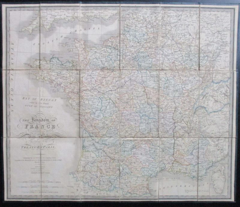
A System of Geography , Popular and Scientific or...
Bell
Fullarton, Tait, Curry, Simpkin, Marshall & Orr
£395.00
Offered by Arthur Hook
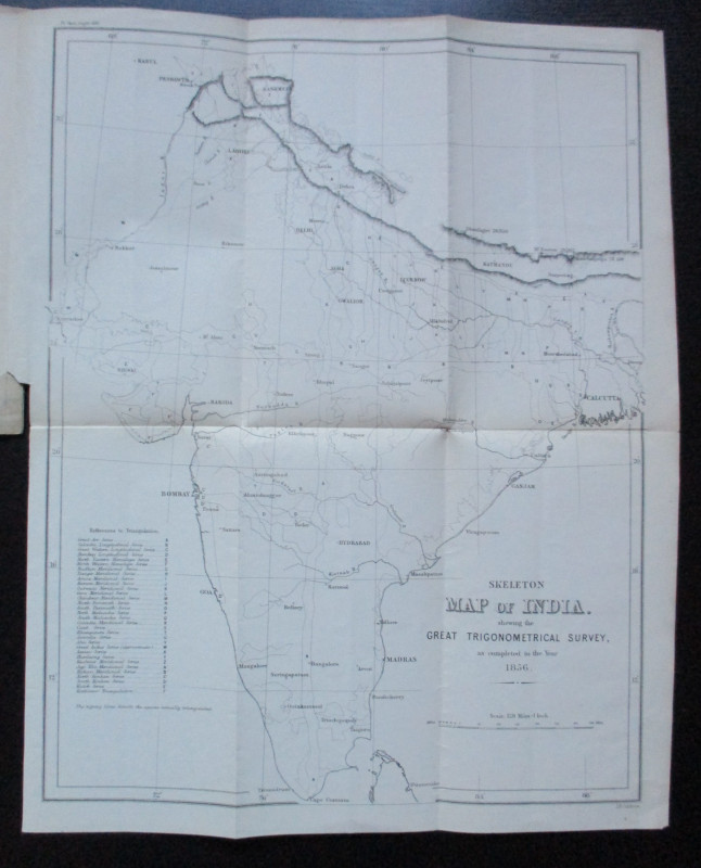
Geodesy; Especially Relating to the Great Trignome...
Strange
Royal United Institution
£45.00
Offered by Arthur Hook
Friends of the PBFA
For £10 get free entry to our fairs, updates from the PBFA and more.
Please email info@pbfa.org for more information