Photo map, City of Jeddah, Saudi Arabia
Book Description
Dealer Notes
Taken from the skies, it shows the whole of the city including the harbour, airport and roads. This outlines the city's strategic location for pilgrims on route to the holy sites of Mecca and Medina.
Aero Sevices Corp were founded in Philadelphia in 1919 and were the oldest flying corporation in the world. They provided photo-mosiacs to update older cartographic information for Brown's project.
The plan for a cooperative mapping project of the peninsula was initiated in 1955 when an agreement was reached between the Kingdom of Saudi Arabia, the U.S. Department of State and the Arabian-American Oil Co. Brown was selected to lead this project based on his previous experience within the Kingdom investigating water supplies in the Al Kharj desert (this work going on to form his PhD).
Individual degree sheets were printed from 1956 onwards. These sheets then fed into the large-scale map of the Arabian Peninsula, first printed - in both Arabic and English - in 1958.
Rare. Seemingly unlisted on Worldcat, it is possible that a copy is held in the Smithosian in the Virgil Kauffman/Aero Service Corporation Collection (box 1, folder 12). This item was offered for auction at Sotheby's in 2021.
Other books
If you liked the book you've just seen, you might be interested in other books from the same dealer below.
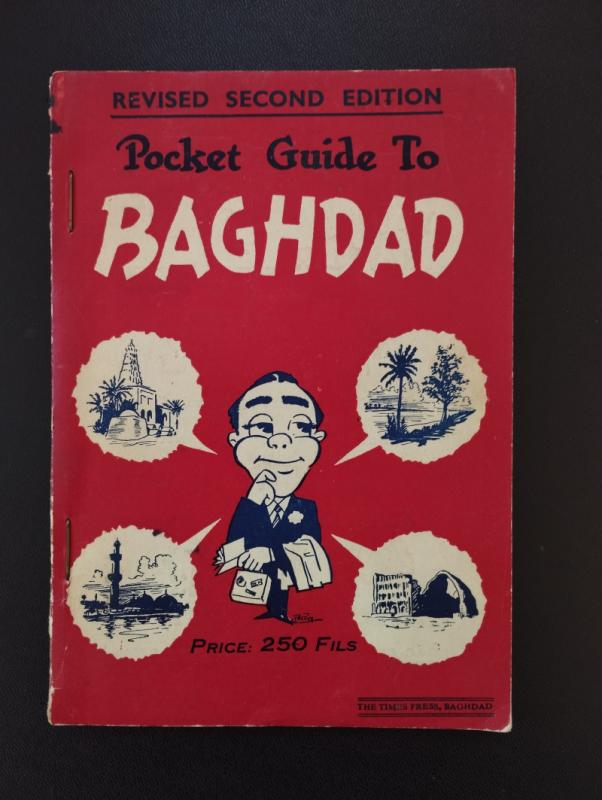
Pocket Guide to Baghdad
[ZEKI (Memdouh), ed.]
The Times Press
£250.00
Offered by Peffers Rare Books Ltd.
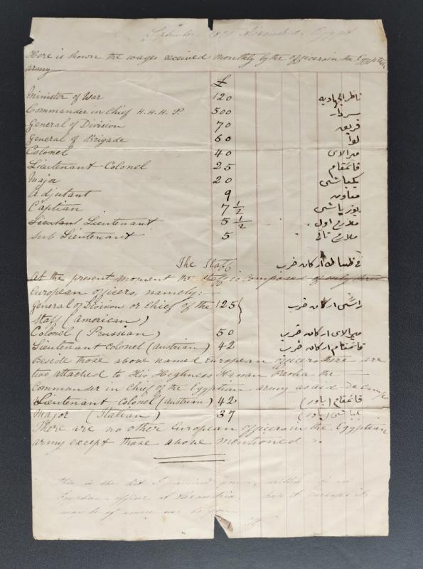
[Ledger page outlining the wages of the Egyptian A...
[ALEXANDRIA][UNIDENTIFIED AUTHOR]
n.p.
£175.00
Offered by Peffers Rare Books Ltd.

Views around South Persia
[WALSH (C.W)] [HOLTON (G.F)]
Bristol & London, Vandyck Printers
£400.00
Offered by Peffers Rare Books Ltd.
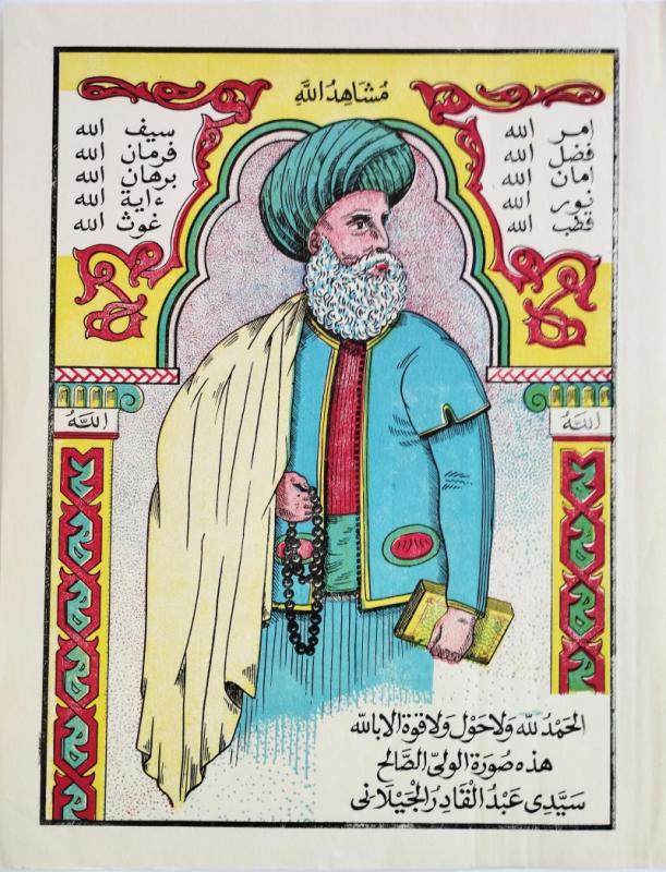
God's witness [Print of Abdel Kader Al-Djilani]
[CHROMOLITHOGRAPHY]
[BONSTEVE]
£250.00
Offered by Peffers Rare Books Ltd.
The Traditional Construction of Early Twentieth Ce...
[MAJED (Ebrahim Essa)]
Doha, The Arab Gulf States Folklore Centre.
£300.00
Offered by Peffers Rare Books Ltd.
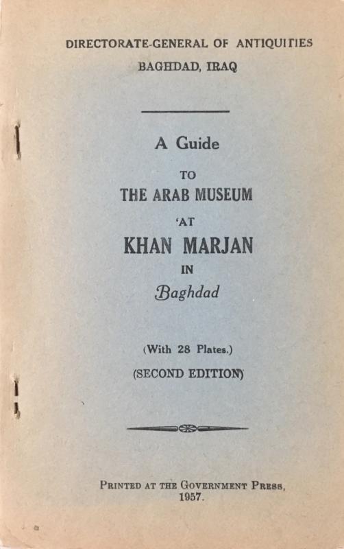
A guide to the Arab Museum at Khan Marjan in Bagha...
[IRAQ]
Government Press
£250.00
Offered by Peffers Rare Books Ltd.
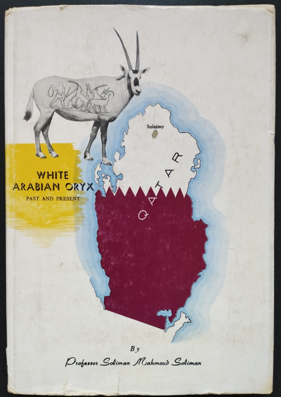
White Arabian Oryx Past and Present
Soliman Mahmoud SOLIMAN
Ministry of Education and Youth Welfare, Doha
£750.00
Offered by Peffers Rare Books Ltd.
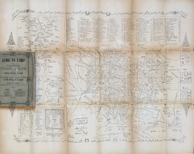
Guide to Cairo and environs – Catalogues to the Mu...
[EGYPT] GROFF (Florence), LEROUX (ed. Ernest).
£125.00
Offered by Peffers Rare Books Ltd.
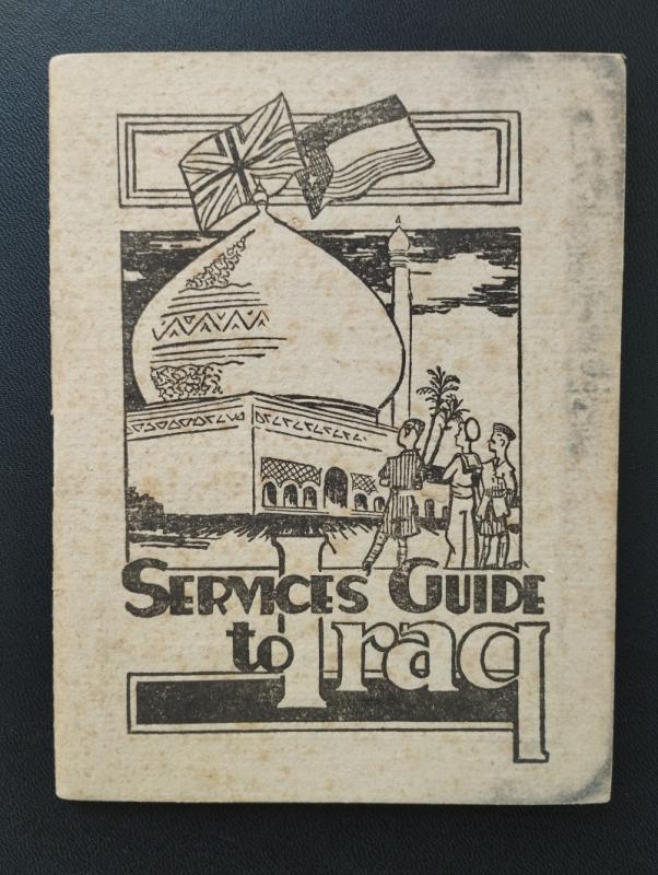
Services guide to Iraq
[LLOYD (Seaton)]
n.d. [but Iraq, likely Baghdad, Paiforce G.H.Q. Welfare Committee
£125.00
Offered by Peffers Rare Books Ltd.
Photo map, City of Jeddah, Saudi Arabia
SAUDI ARABIA
AERO SERVICE CORP.
£950.00
Offered by Peffers Rare Books Ltd.
Friends of the PBFA
Please email info@pbfa.org for more information