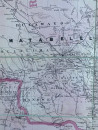
Map of Rhodesia 1910 (British South Africa & Rhodesia sheet 5)

Book Description
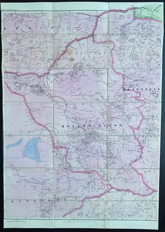
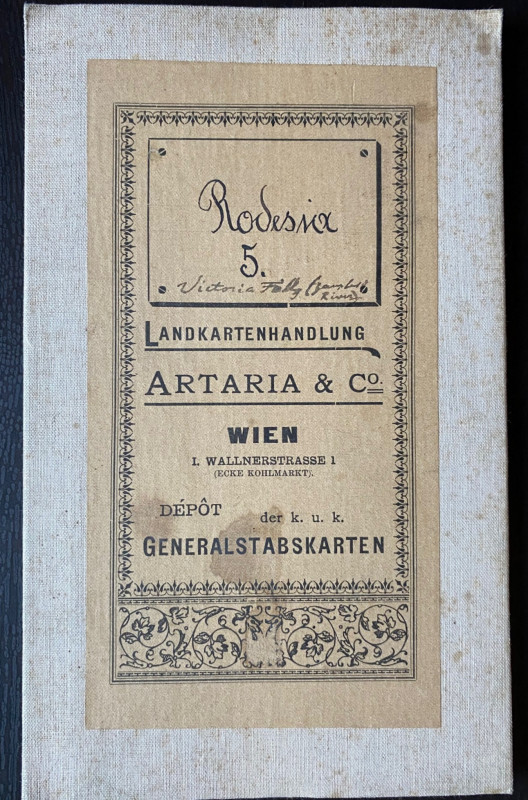
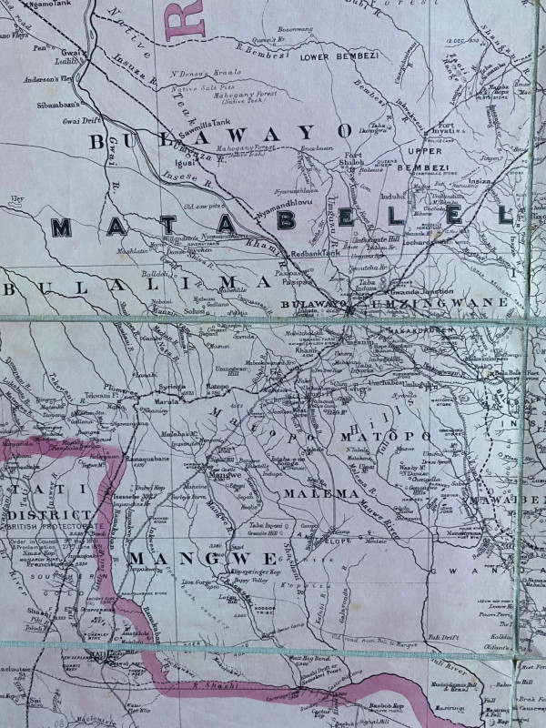
Map of Rhodesia 1910 British South Africa & Rhodesia sheet 5, published by Stanford, London January 1st 1910. On folding linen in 21 sections, size 95 by 66 cm. Scale 1:1,000,000 or 15.78 miles to the inch. Colour. Covers Matabeleland with part of Mashonaland, and includes the Zambezi, Niagara Falls, Bulawayo and an area south to the Limpopo River. The map was originally sold in Vienna and has the bookplate of an Austrian bookseller. A detailed map in VG condition. £100
Author
Stanford
Date
1910
Binding
Folding map on cloth
Publisher
Stanford
Condition
VG
Other books
If you liked the book you've just seen, you might be interested in other books from the same dealer below.
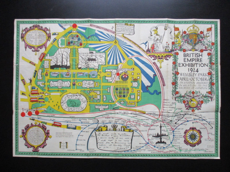
British Empire Exhibition 1924. Wembley Park April...
North
British Empire Exhibition
£75.00
Offered by Arthur Hook
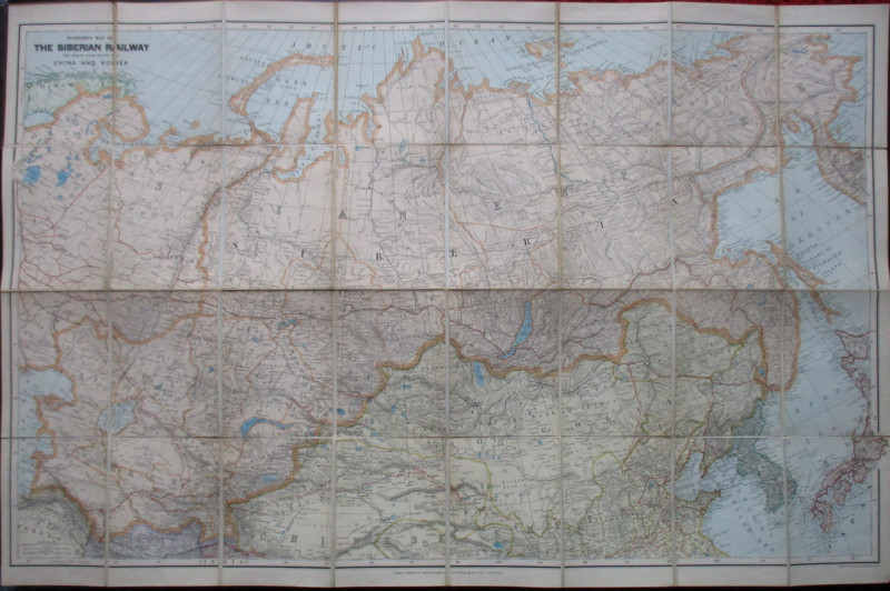
Stanford’s Map of the Siberian Railway: The Great...
Stanford
Stanford
£595.00
Offered by Arthur Hook
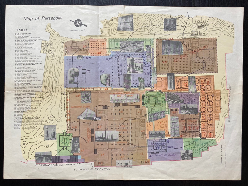
Map of Persepolis & Iran 1955
Hatami
Iranian Government Department of Communications
£45.00
Offered by Arthur Hook
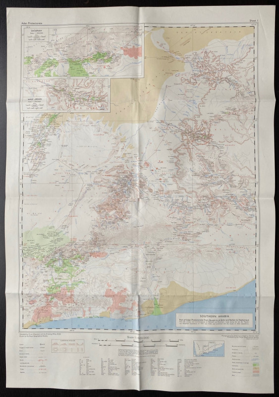
Map of Southern Arabia (Part of Aden Protectorate...
Royal Geographical Society
Royal Geographical Society
£145.00
Offered by Arthur Hook
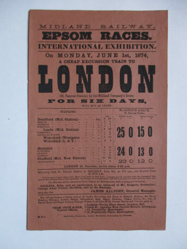
Railway Poster or Handbill Epsom Races 1874
Midland Railway
Thomas Cook
£50.00
Offered by Arthur Hook
Friends of the PBFA
For £10 get free entry to our fairs, updates from the PBFA and more.
Please email info@pbfa.org for more information