Map of London 1836


Book Description
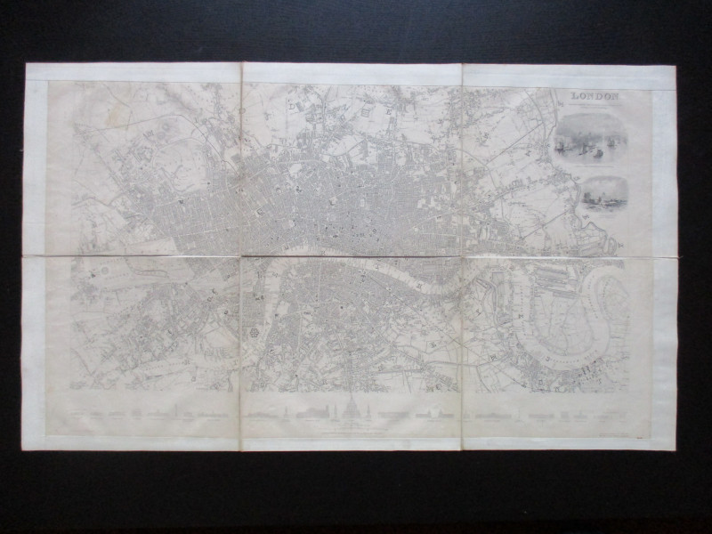
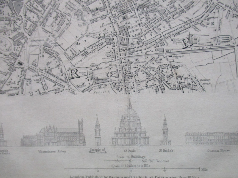
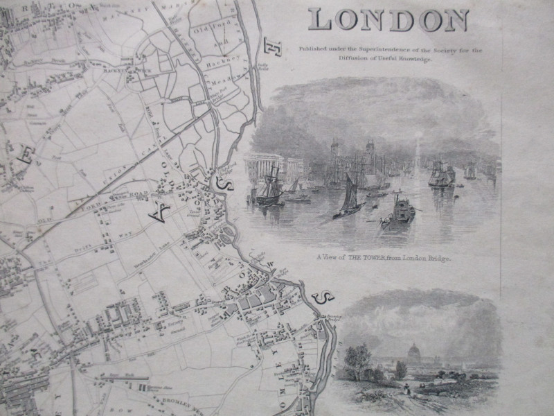
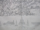
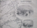
Map of London 1836 published by Baldwin & Cradock for the Society for the Diffusion of Christian Knowledge, drawn by Clarke and engraved by Henshall. On folding linen in six sections, size 78 by 44 cm. Scale three inches to the mile. With two vignettes of London scenes and 24 smaller engravings of London landmarks beneath the map. Covers an area from Kilburn across to Hackney in the north and from Walham Green and Battersea across to Greenwich Park in the south. Uncoloured. A plain cloth border provides an edge to the linen backing. Vg condition.
Author
Clarke
Date
1836
Publisher
SDUK/Baldwin and Cradock
Illustrator
Clarke
Other books
If you liked the book you've just seen, you might be interested in other books from the same dealer below.
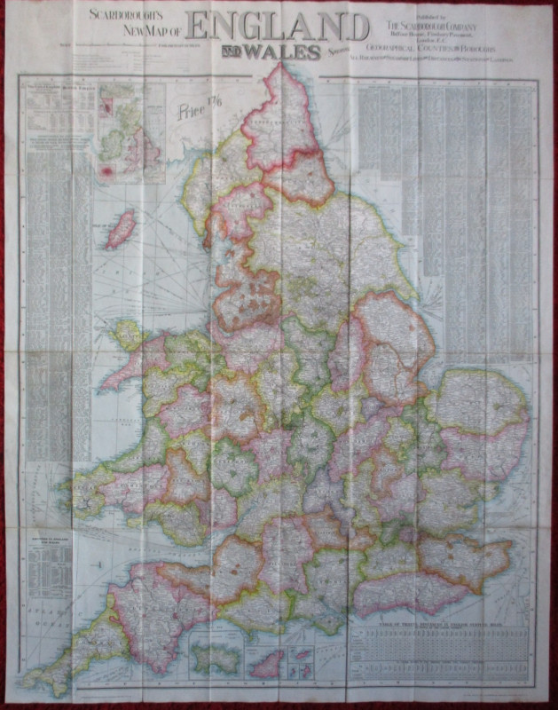
Scarborough’s Map of the British Isles shewing Geo...
Anon
Scarborough Company
£105.00
Offered by Arthur Hook
The Experienced English Housekeeper, for the use a...
Raffald
Baldwin
£210.00
Offered by Arthur Hook
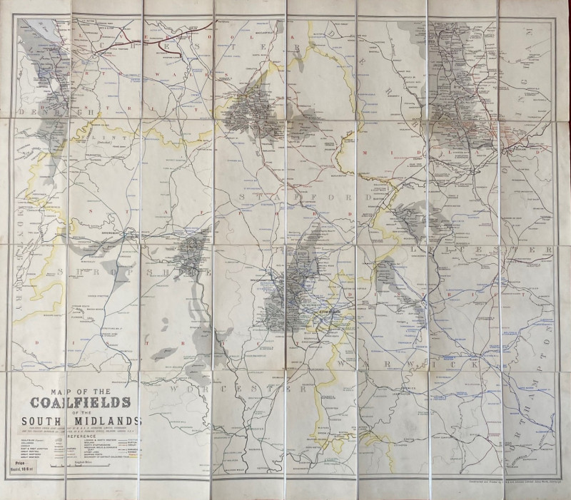
Map of the Coalfields of the South Midlands circa...
Johnston
Johnston
£100.00
Offered by Arthur Hook
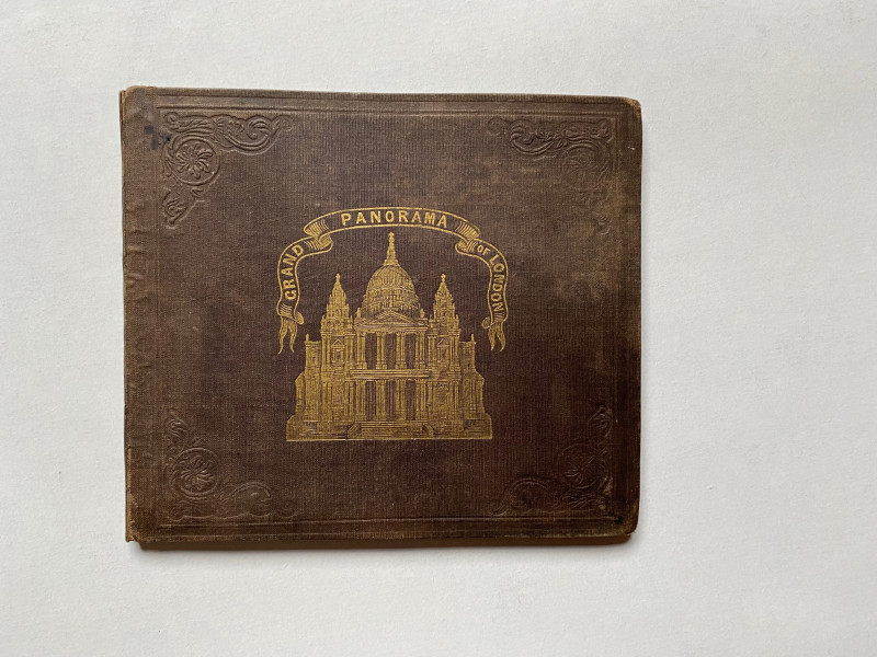
Grand Panorama of London from the Thames 1849
John and Charles Evans
John and Charles Evans
£500.00
Offered by Arthur Hook
Friends of the PBFA
For £10 get free entry to our fairs, updates from the PBFA and more.
Please email info@pbfa.org for more information