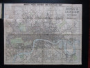
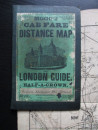
Mogg's Cab Fare Distance Map of London, also titled Mogg's London and its Environs.
Book Description
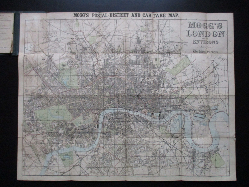
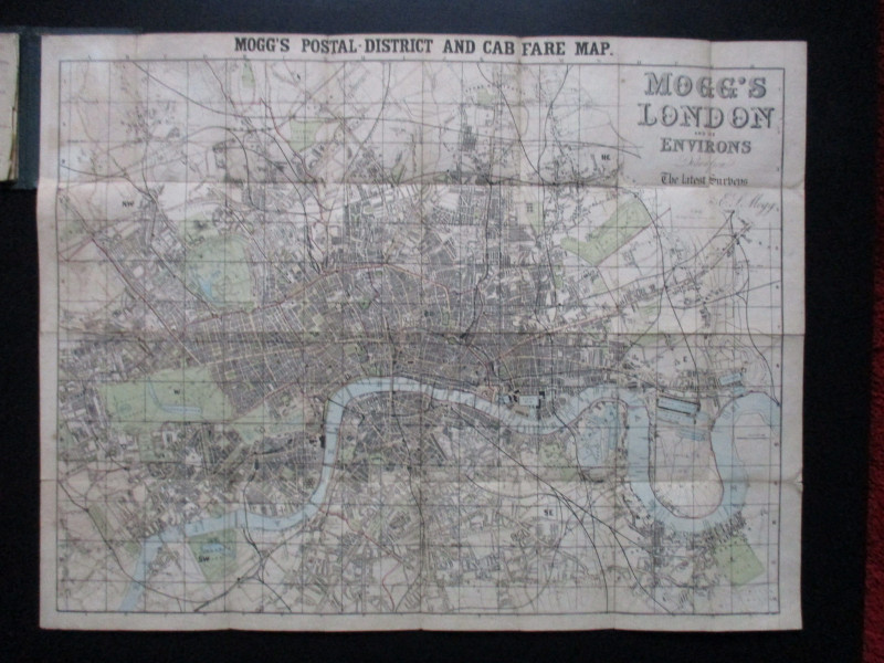
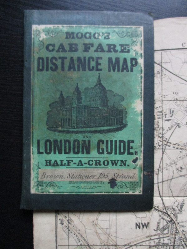
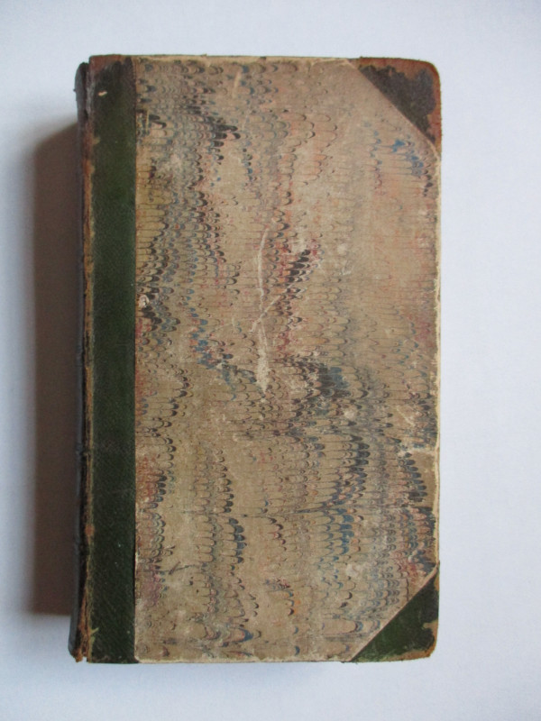
Mogg's Cab Fare Distance Map of London, also titled Mogg's London and its Environs drawn from the latest surveys, published by Mogg London circa 1860. On folding linen size 73 by 57 cm. Scale three inches to the mile. Folds into stiff boards with the title in an illustrated label to the front. Includes a street index and key to railway termini. New cloth spine. Good to VG condition.
Author
Mogg
Date
1860
Binding
Stiff boards
Publisher
1860
Condition
Good to Vg
Other books
If you liked the book you've just seen, you might be interested in other books from the same dealer below.
Scenes of Commerce by Land and Sea or Where Does i...
Taylor
Grant and Grffith
£45.00
Offered by Arthur Hook
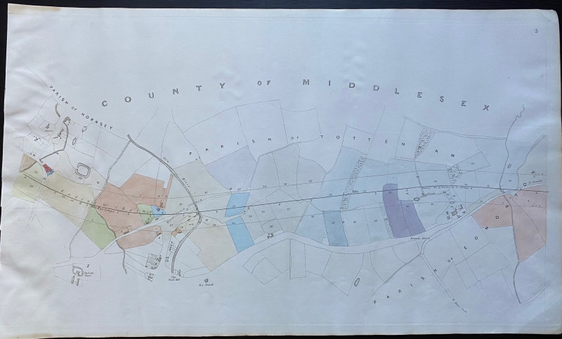
Map of part of Tottenham Parish from Hornsey to Ed...
Rennie
Arrowsmith
£35.00
Offered by Arthur Hook
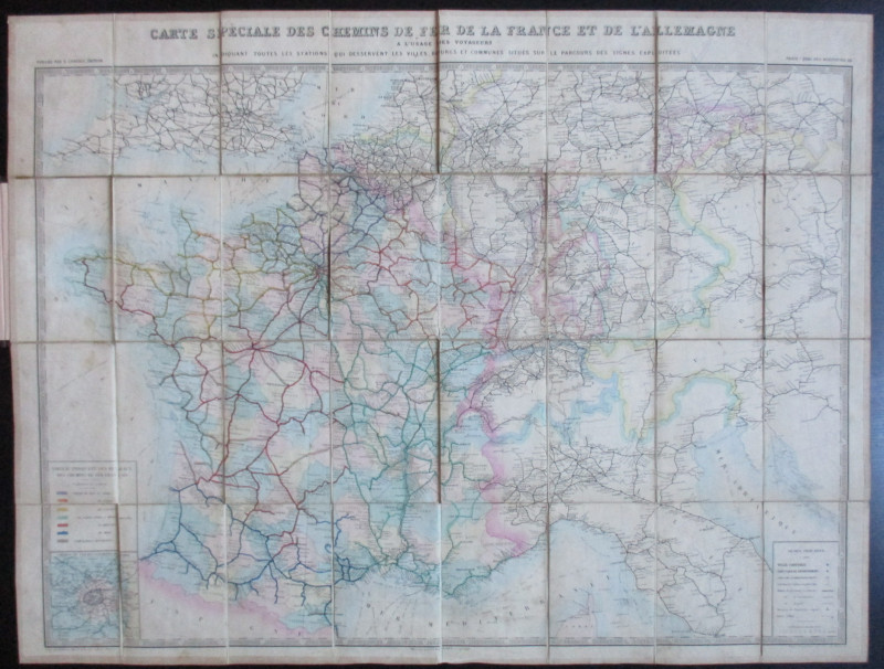
Carte Generale des Chemins de la France et de l’Al...
Vuillemin
Logerot
£70.00
Offered by Arthur Hook
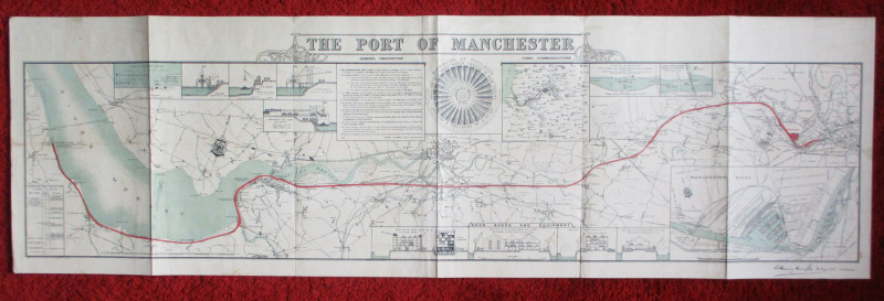
Map of the Port of Manchester & Ship Canal 1902
Falkner
Manchester Ship Canal
£125.00
Offered by Arthur Hook
Friends of the PBFA
For £10 get free entry to our fairs, updates from the PBFA and more.
Please email info@pbfa.org for more information