London Coronation Map and Ephemera 1953


Book Description
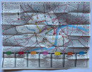
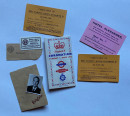
London Coronation Map and Ephemera 1953. A folding map of London published by London Transport in colour on paper size 57 by 45 cm., with a map of the tube network and bus and trolleybus information to the reverse; two cards issued by Brooks’s Club of St. James’s Street with details of a reservation for accommodation and a police pass for Sir Thomas and Lady Strangman; a card with details of front row seating for the Coronation procession, another card in Thomas Strangman’s name for the Army and Navy Stores and a small photograph of him that appears to be a form of identification image. Vg condition.
Author
Anon
Date
1953
Publisher
London Transport
Condition
VG
Other books
If you liked the book you've just seen, you might be interested in other books from the same dealer below.
Maps, plans and views from Elphinstone’s Account o...
Elphinstone
Eyre and Spottiswoode
£525.00
Offered by Arthur Hook
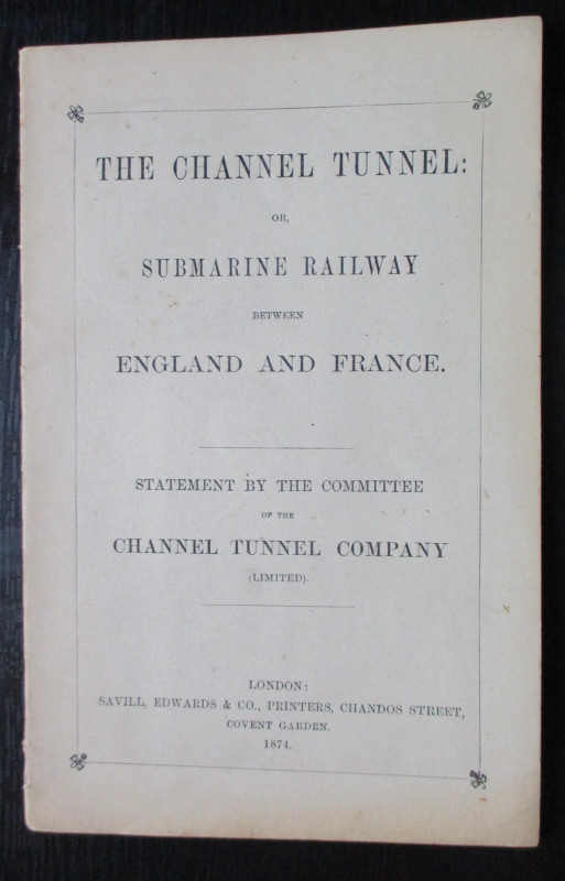
The Channel Tunnel or Submarine Railway between En...
Anon
Channel Tunnel Company
£85.00
Offered by Arthur Hook
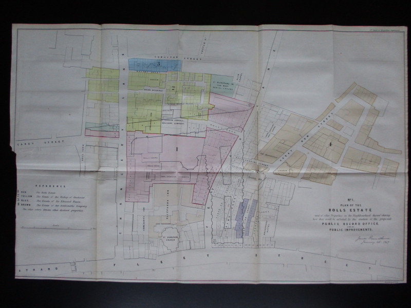
Four Plans for the development of the Central Lond...
Pennethorne
Hansard
£125.00
Offered by Arthur Hook
Friends of the PBFA
For £10 get free entry to our fairs, updates from the PBFA and more.
Please email info@pbfa.org for more information