Cassell’s Map of Greater London 1885


Book Description
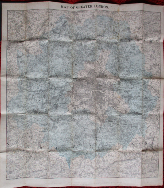
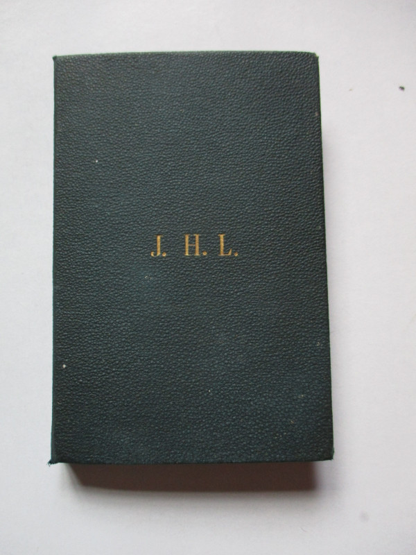
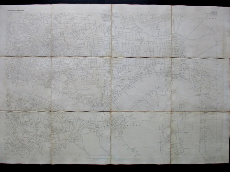
Cassell’s Map of Greater London. Printed by Edward Stanford and published by Cassell, Petter and Galpin, London circa 1885. On folding linen size 76 by 68 cm. Scale one and a half miles to the inch. Covers an area from Boxmoor and Hemel Hempstead across to North Weald in the north and from East Clandon to Sevenoaks in the south. Folds into stiff original boards with the initials JHL gold-stamped to the front cover. Some occasional fading or sunning to part of one fold but overall Good condition
Author
Stanford
Date
1885
Binding
Folds into stiff boards
Publisher
Cassell Petter & Galpin
Condition
Good
Other books
If you liked the book you've just seen, you might be interested in other books from the same dealer below.
Ordnance Survey map of City of London (part) with...
Yelland
Ordnance Survey
£55.00
Offered by Arthur Hook
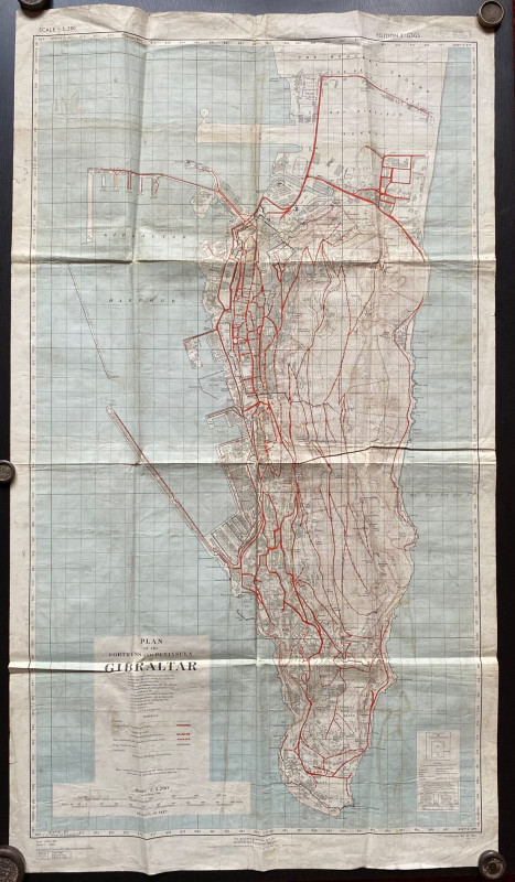
Plan of the Fortress and Peninsula of Gibraltar
British War Office & Air Ministry
British War Office & Air Ministry
£135.00
Offered by Arthur Hook
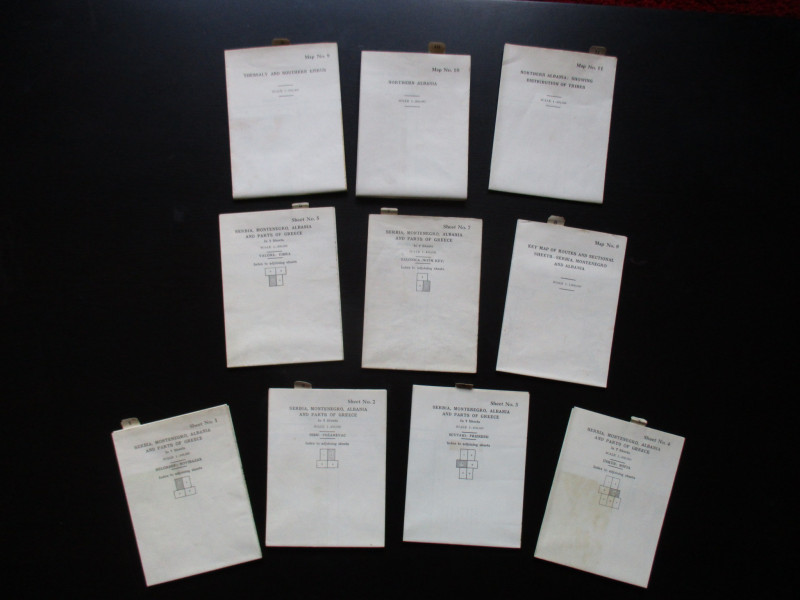
Maps to accompany Handbooks of Serbia, Montenegro...
British Admiralty War Staff
Ordnance Survey & British Admiralty
£295.00
Offered by Arthur Hook
Friends of the PBFA
For £10 get free entry to our fairs, updates from the PBFA and more.
Please email info@pbfa.org for more information