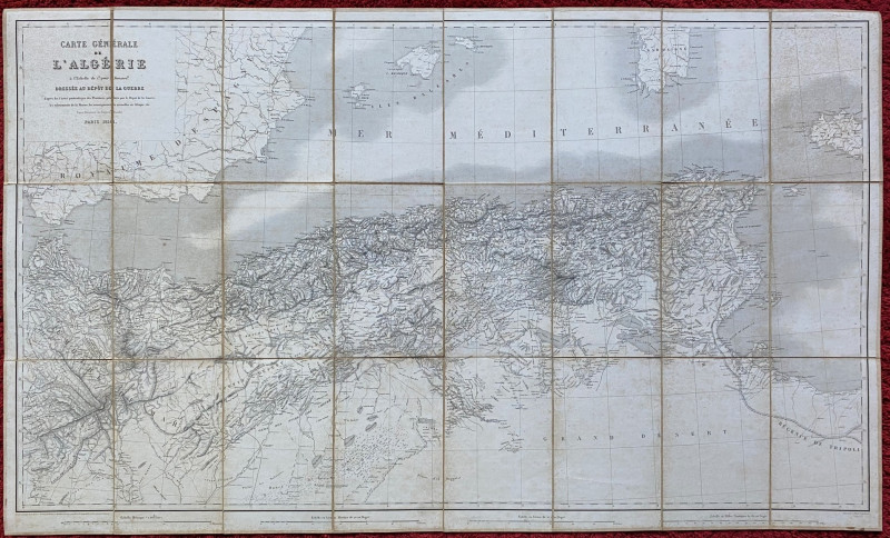
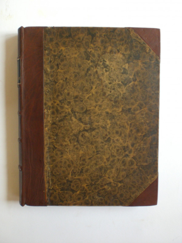
Map of Algeria 1856. Carte Generale de l’Algerie.

Book Description
Map of Algeria 1856. Carte Generale de l’Algerie published by the French Ministry of War under the direction of Colonel Blondel. On folding linen in 24 sections, size 116 by 70 cm. Uncoloured. With four scales including leagues and kilometres, approximating to about 40 km. to the inch. Heights are indicated by hachuring. Folds into a pocket size and has a decorative label to the front with the signature of what might have been the original owner dated August 1864. A very detailed map in VG condition.
Author
Blondel
Date
1856
Publisher
French Ministry of War
Condition
VG
Other books
If you liked the book you've just seen, you might be interested in other books from the same dealer below.
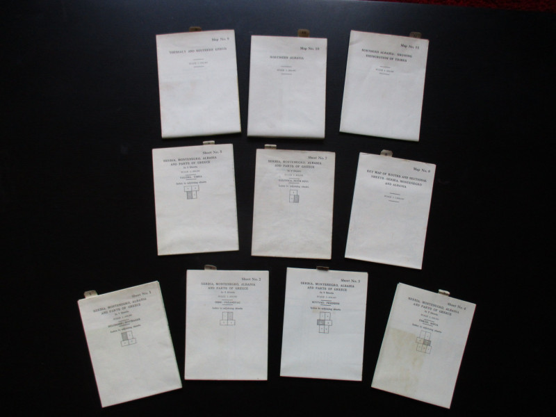
Maps to accompany Handbooks of Serbia, Montenegro...
British Admiralty War Staff
Ordnance Survey & British Admiralty
£295.00
Offered by Arthur Hook
The Great Western Railway of England. Train servic...
GWR
Great Western Railway
£45.00
Offered by Arthur Hook
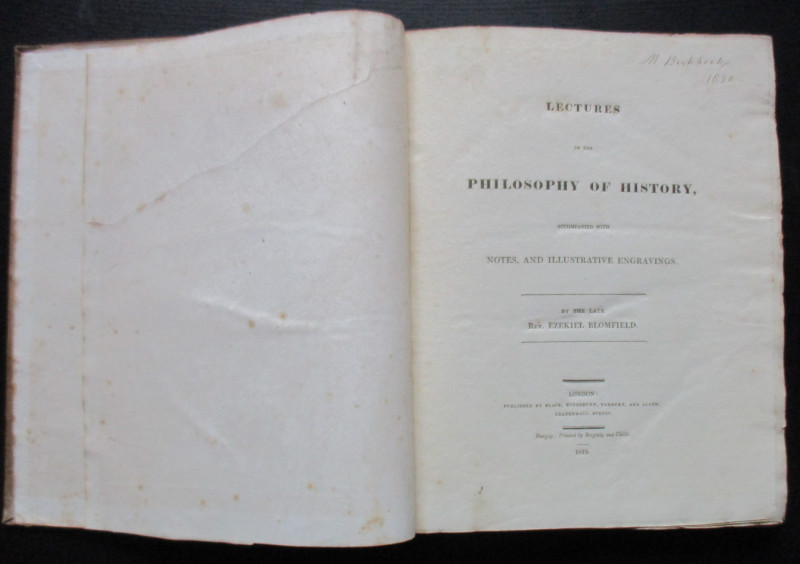
Lectures on the Philosophy of History
Blomfield
Black, Kingsbury, Parbury and Allen
£235.00
Offered by Arthur Hook
Friends of the PBFA
For £10 get free entry to our fairs, updates from the PBFA and more.
Please email info@pbfa.org for more information