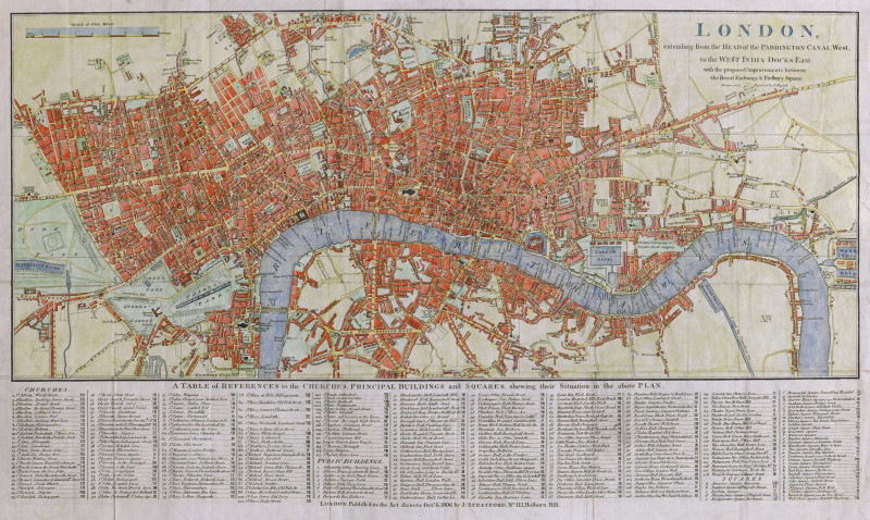
London, extending from the Head of the Paddington Canal West, to the West India Docks East, with the proposed Improvements between the Royal Exchange & Finsbury Square,
Book Description
engraved map with hand-colouring, on wove paper watermarked 1801, size is for plan and reference table combined, the plan alone measures 230 x 535mm. (9 x 21 in), old folds with a few repaired splits, another repaired tear from the right sheet edge, other occasional faint creasing and slight surface dirt, [Howgego 240],
Dealer Notes
a comprehensively titled plan of early 19th century London, lightly overlaid with a reference grid for the extensive list below of 115 churches, 128 public buildings and 36 squares. The plan was issued in vol. II of David Hughson’s ‘London, being an accurate history & description of the British Metropolis’
Author
Russell (John)
Date
1806
Publisher
James Stratford, London
Other books
If you liked the book you've just seen, you might be interested in other books from the same dealer below.
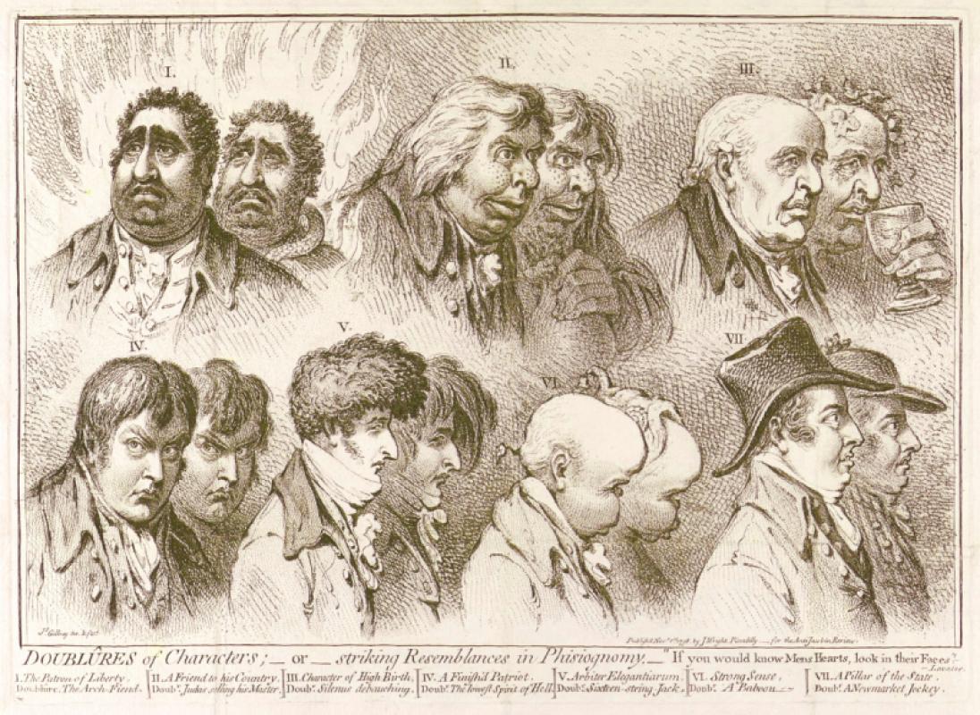
Doublûres of Characters; _ or _ striking Resemblan...
Gillray (James)
John Wright
£675.00
Offered by Robert Hall Pictures
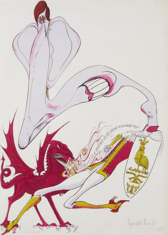
"There'll be a welcome in the hillside for you boy...
Scarfe (Gerald, C.B.E.)
Curwen Studio
£495.00
Offered by Robert Hall Pictures
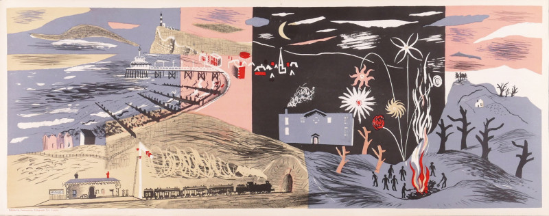
Nursery Frieze II - Landscape (Night)
Piper (John)
printed at the Curwen Press for Contemporary Lithographs Ltd.
£3000.00
Offered by Robert Hall Pictures
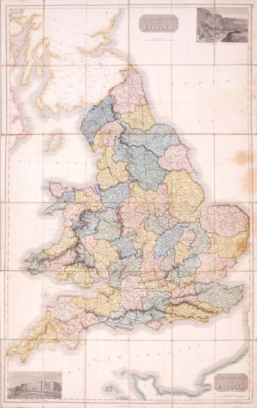
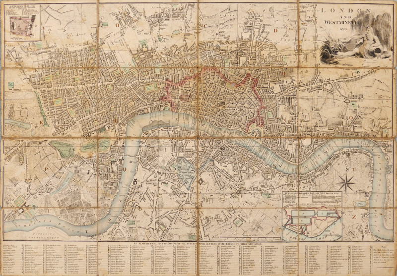
Northern Part of England [with] Southern Part of E...
Thomson (John)
£270.00
Offered by Robert Hall Pictures
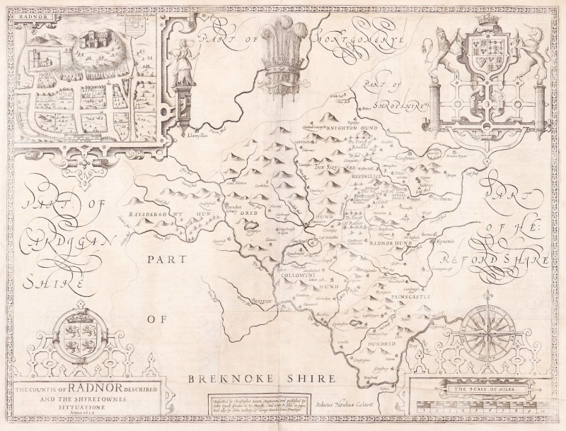
The Countie of Radnor Described, and the Shyretown...
Speed (John)
imprint of John Subdbury and George Humble [but William Humble]
£225.00
Offered by Robert Hall Pictures
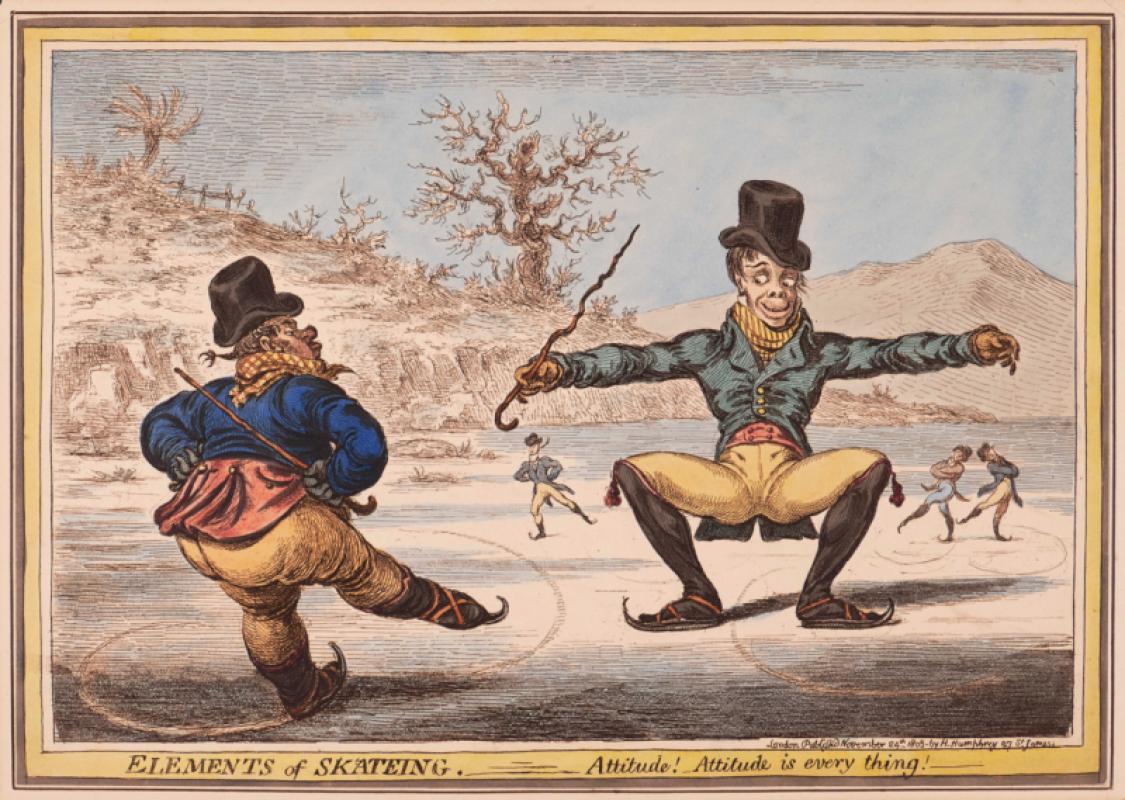
Elements of Skateing. Attitude! Attitude is every...
Gillray (James)
Hannah Humphrey
£375.00
Offered by Robert Hall Pictures
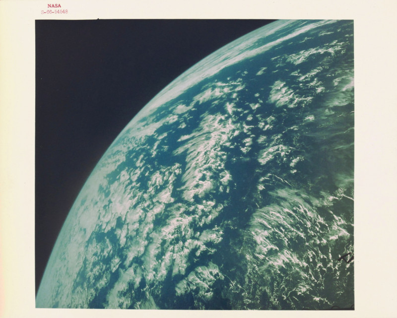
Spectacular view of the curvature of the earth fro...
NASA
NASA
£400.00
Offered by Robert Hall Pictures
Friends of the PBFA
For £10 get free entry to our fairs, updates from the PBFA and more.
Please email info@pbfa.org for more information