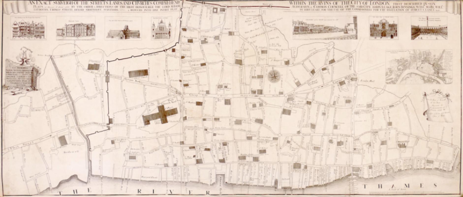
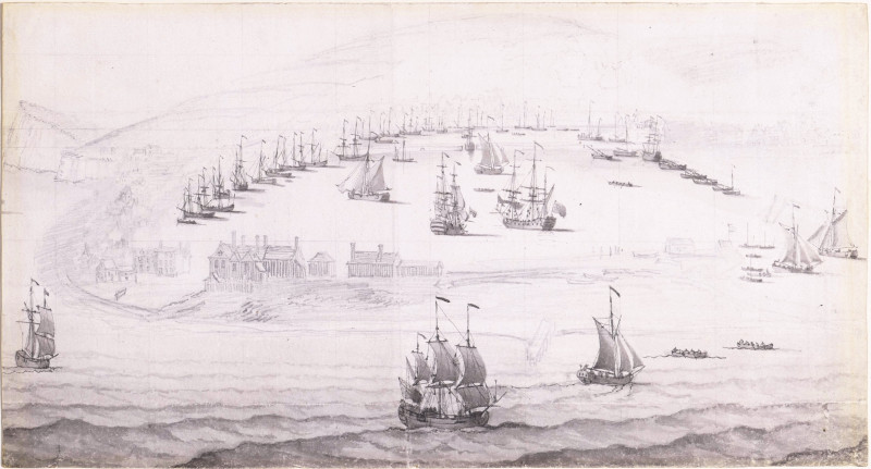
An Exact Surveigh of the Streets, Lanes, and Churches, Commrehend.d. Within The Ruins of the City of London, First Described In Six Plats 10 Decemr. Ao. Domi: 1666.


Book Description
Dealer Notes
Other books
If you liked the book you've just seen, you might be interested in other books from the same dealer below.
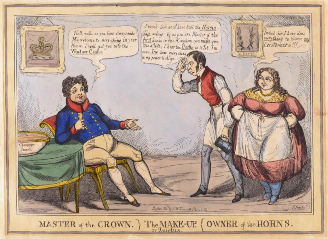
Master of the Crown} The Make-Up, or Quietus, {Own...
Jones (Thomas Howell)
S.W. Fores
£150.00
Offered by Robert Hall Pictures
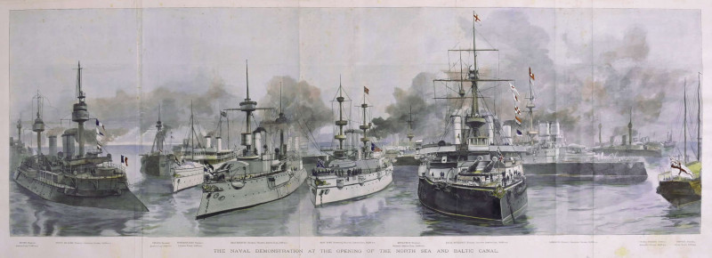
The Naval Demonstration at the Opening of the Nort...
Naumann (Paul Hermann)
Illustrated London News, London
£225.00
Offered by Robert Hall Pictures
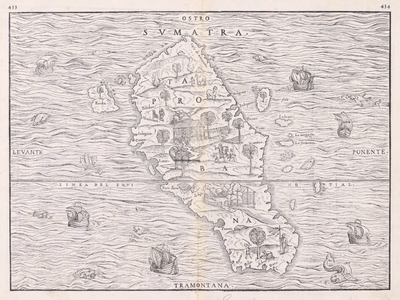
Sumatra, Taprobana,
Ramusio (Giovanni Battista)
Venice, Tommaso Giunti,
£795.00
Offered by Robert Hall Pictures
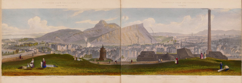
Edinburgh, A Complete View of The City and Environ...
Steuart (T.)
Ackermann & Co.; and J. Menzies, London and Edinburgh
£750.00
Offered by Robert Hall Pictures

Song of Songs 5 [There are threescore Queens...]
Wolfe (Edward, RA)
printed by Senecio Press
£250.00
Offered by Robert Hall Pictures
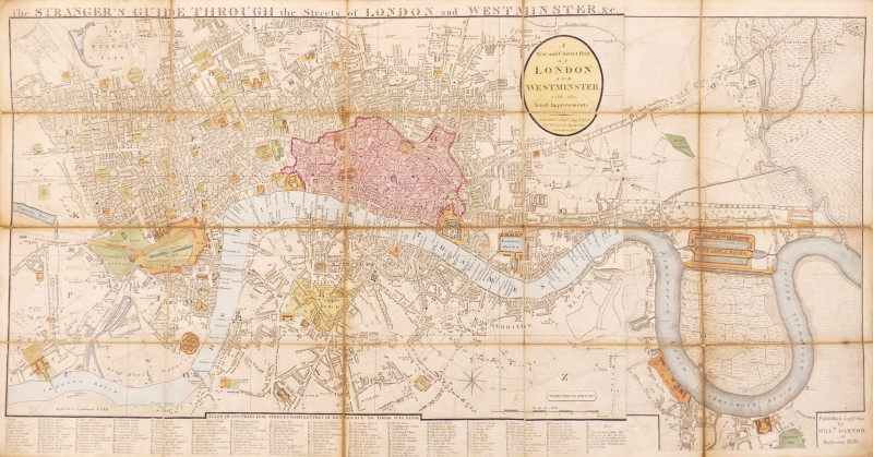
The Stranger's Guide Through the Streets of London...
Darton (William)
£750.00
Offered by Robert Hall Pictures
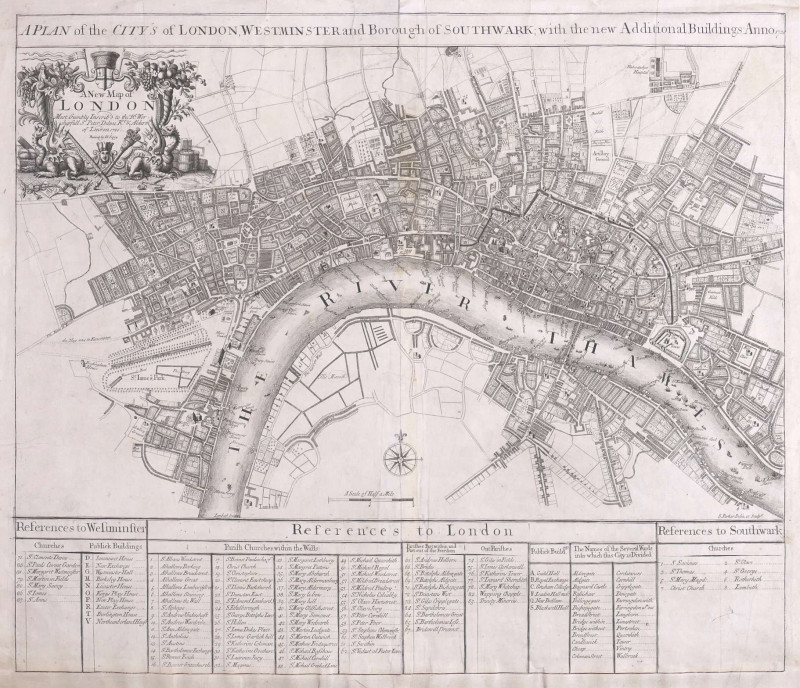
A Plan of the City's of London, Westminster and Bo...
Parker (Samuel)
John Senex, London
£1250.00
Offered by Robert Hall Pictures
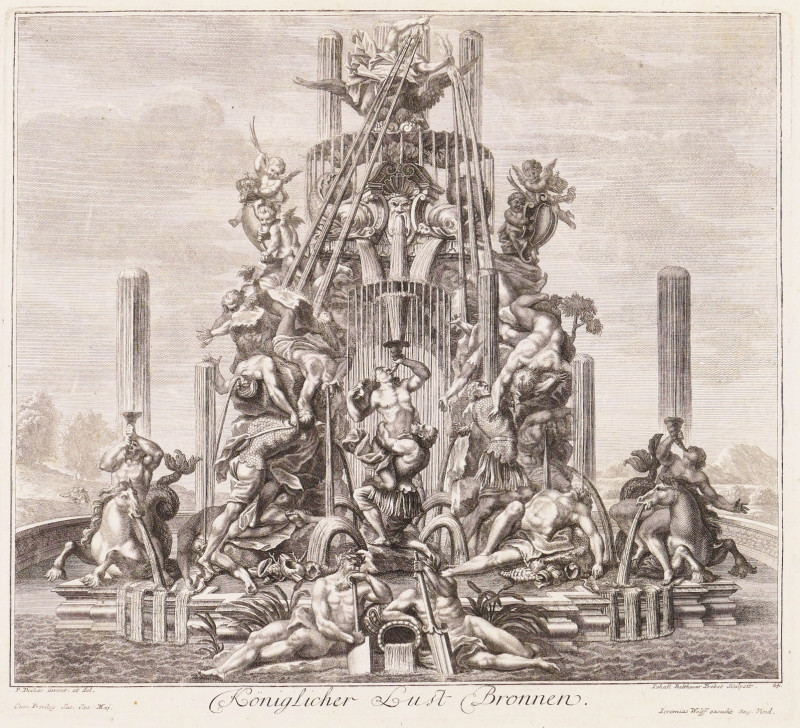
Königlicher Lust Bronnen; Zweijter Königl. Lust Br...
Decker (Paul)
Augsburg, Jeremias Wolff
£800.00
Offered by Robert Hall Pictures
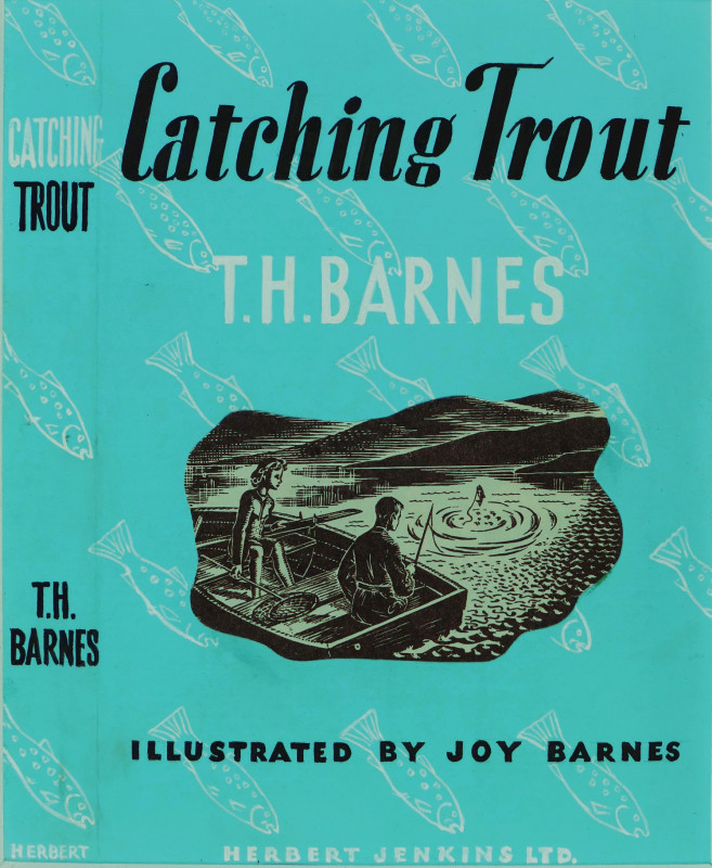
Original dust-jacket artwork for 'Catching Trout'...
Barnes (Joy)
£180.00
Offered by Robert Hall Pictures
Friends of the PBFA
Please email info@pbfa.org for more information