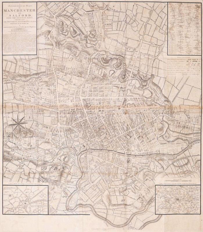
A Topographical Plan of Manchester and Salford with the Adjacent Parts, Shewing also the Different Allotments of Land Proposed to be built on as communicated to the Surveyor by the respective Proprietors,
Book Description
large plan engraved by John Cary, printed on 2 sheets, joined, with slight browning along the horizontal join, a few minor repairs to occasional small splits on old folds
Dealer Notes
large wall map of Manchester and Salford, title and descriptive text panel upper left, a strip road map from London to Manchester inset upper right, ‘Plan of Manchester and Salford taken about 1650’ inset lower left, and ‘A Map of the Country round Manchester from Actual Survey’ inset lower right, a large compass rose centre left, with north oriented to the lower left. The plan was first issued by Charles Laurent in 1793, but the plates were acquired later the same year by Thomas Stockdale, who issued it folded into ‘A Description of the Country from Thirty to Forty Miles Round Manchester’ by John Aikin, published in 1795
Author
Laurent (Charles)
Date
1793
Publisher
John Stockdale, London
Other books
If you liked the book you've just seen, you might be interested in other books from the same dealer below.
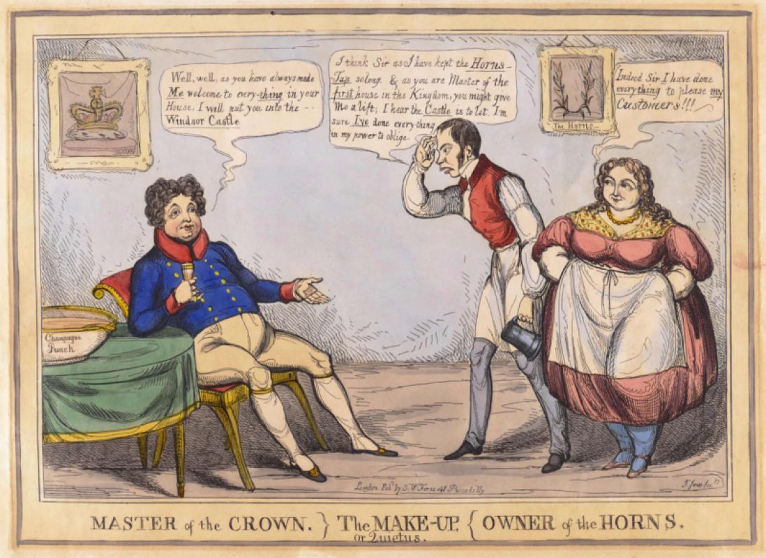
Master of the Crown} The Make-Up, or Quietus, {Own...
Jones (Thomas Howell)
S.W. Fores
£150.00
Offered by Robert Hall Pictures


Song of Songs 5 [There are threescore Queens...]
Wolfe (Edward, RA)
printed by Senecio Press
£250.00
Offered by Robert Hall Pictures
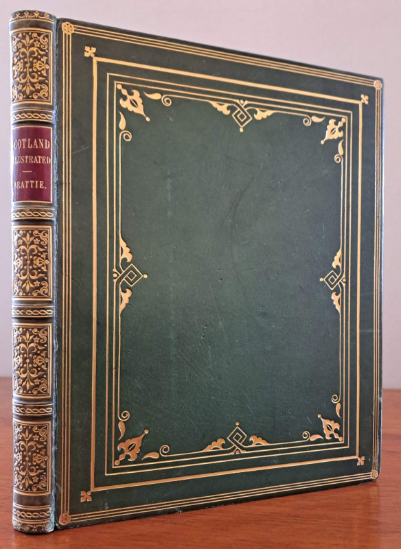
Scotland
Beattie (William) and Thomas Allom.
London, Geo. Virtue
£150.00
Offered by Robert Hall Pictures
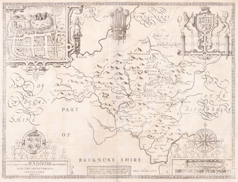
The Countie of Radnor Described, and the Shyretown...
Speed (John)
imprint of John Subdbury and George Humble [but William Humble]
£225.00
Offered by Robert Hall Pictures
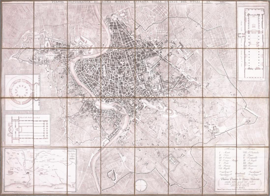
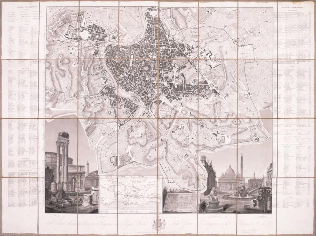
Pianta Topografica di Roma Moderna
Mondaldini (Venanzio)
Rome
£450.00
Offered by Robert Hall Pictures
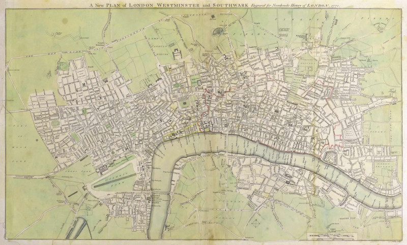
A New Plan of London Westminster and Southwark,
Noorthouck (John)
John Noorthouck, London
£750.00
Offered by Robert Hall Pictures
Friends of the PBFA
For £10 get free entry to our fairs, updates from the PBFA and more.
Please email info@pbfa.org for more information