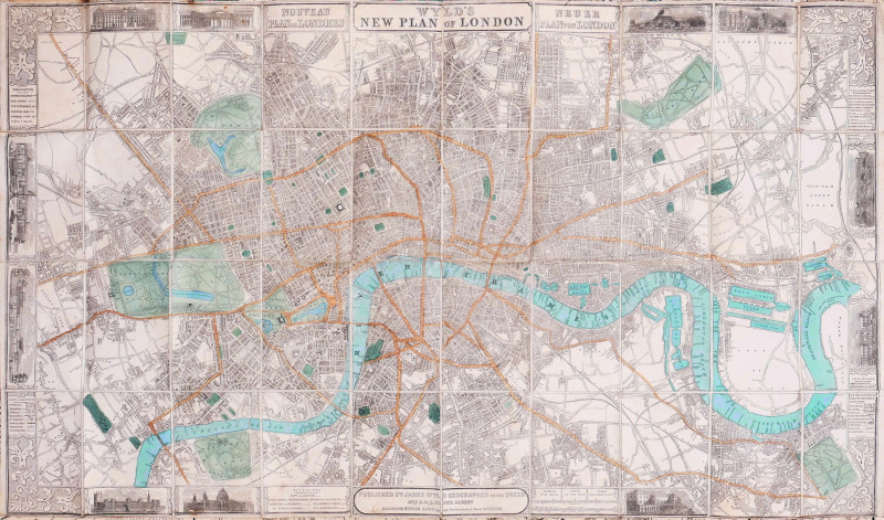
The Stranger's Guide Through the Streets of London and Westminster &c.,


Book Description
engraved map with original hand-colouring, on two sheets, joined, 405 x 805 mm. (16 x 31 3/4 in), dissected and linen-backed, slight browning, the publisher’s advertising label pasted on verso, [Howgego 240a (8)]
Dealer Notes
titled across the top of the primary map, with the additional title ‘A New and Correct Plan of London and Westminster with the latest Improvements, in an oval cartouche in its upper right corner, this edition with the added sheet to the east, each part with its own imprint, both dated 1822, an inset note in the lower right corner of the primary sheet stating ‘Corrected to May 1 1823’. The whole extends from Islington to Walworth, and from Hyde Park originally to Rotherhithe, but now additionally including Limehouse, West and East India Docks, Greenwich and the River Lea, a text panel below lists 200 principal streets
Author
Darton (William)
Date
1823
Condition
Good+
Other books
If you liked the book you've just seen, you might be interested in other books from the same dealer below.

Venus attired by the Graces.
Gillray (James)
Hannah Humphrey
£275.00
Offered by Robert Hall Pictures
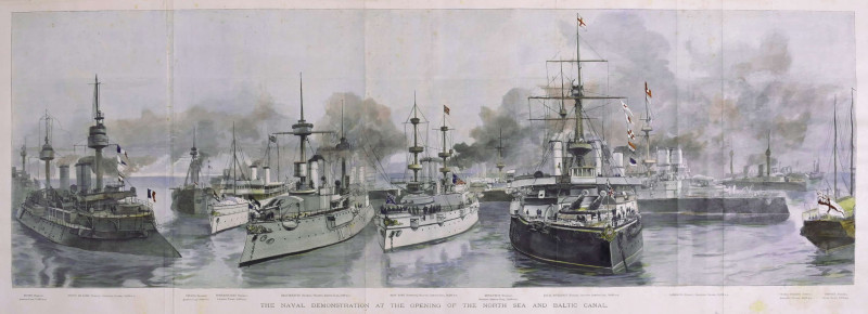
The Naval Demonstration at the Opening of the Nort...
Naumann (Paul Hermann)
Illustrated London News, London
£225.00
Offered by Robert Hall Pictures

Sumatra, Taprobana,
Ramusio (Giovanni Battista)
Venice, Tommaso Giunti,
£795.00
Offered by Robert Hall Pictures

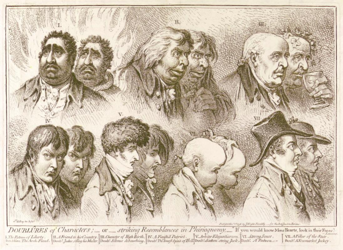
Doublûres of Characters; _ or _ striking Resemblan...
Gillray (James)
John Wright
£675.00
Offered by Robert Hall Pictures

One of the Tenth, Hyde Park May 27 1829 Sketched a...
Heath (William)
Thomas McLean
£120.00
Offered by Robert Hall Pictures
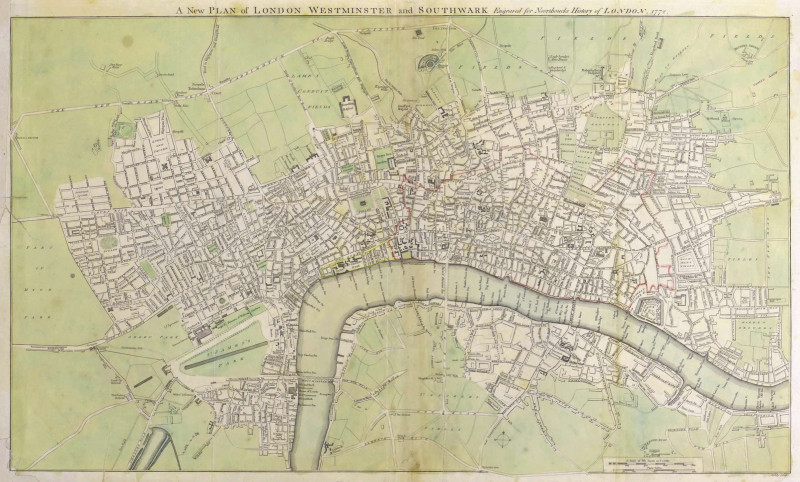
A New Plan of London Westminster and Southwark,
Noorthouck (John)
John Noorthouck, London
£750.00
Offered by Robert Hall Pictures
Friends of the PBFA
For £10 get free entry to our fairs, updates from the PBFA and more.
Please email info@pbfa.org for more information