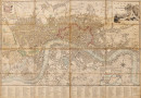
London and Westminster, 1799,

Book Description
engraved map with original hand-colouring, 440 x 640 mm. (17 1/4 x 25 1/4 in), dissected and linen-backed, pale browning, occasional minor creasing to some section edges and slight wear to old folds in the linen support, [Howgego 203 (between 3 and 4)]
Dealer Notes
detailed plan of London, first issued in 1795, extending from Pentonville to Walworth, and from Hyde Park to Limehouse. There are two inset plans, ‘Plan of the Proposed London Wet Docks’, lower right, and ‘An Enlarged Plan of the Rules of the Fleet Prison’, in the upper left corner, which first appeared in the 1796 and 1797 editions, respectively. The title in the upper right corner overlays a large vignette scene depicting the reclining figure of Father Thames, and the lower margin contains ‘An Alphabetical List of 300 Principal Streets with Letters of Reference to their Situation’
Author
Fairburn (John)
Date
1799
Other books
If you liked the book you've just seen, you might be interested in other books from the same dealer below.
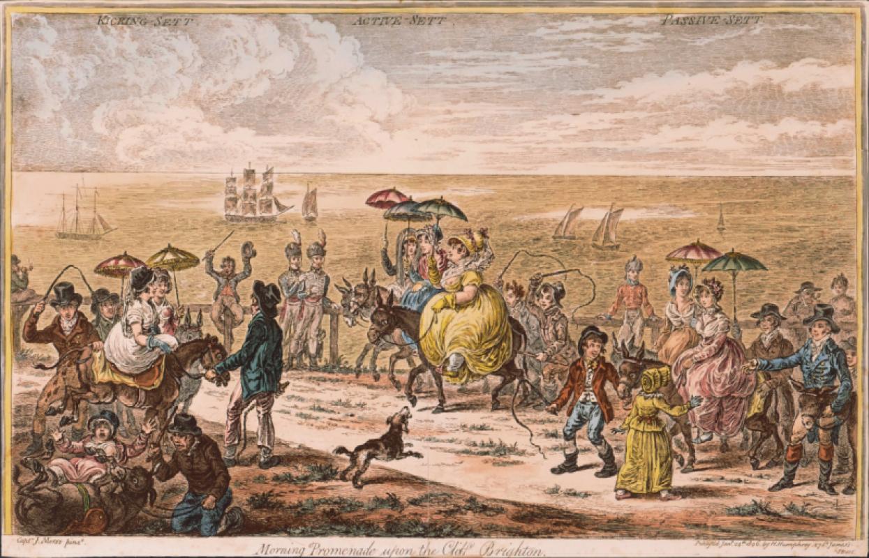
Morning Promenade upon the Cliff, Brighton,
Gillray (James)
Hannah Humphrey
£950.00
Offered by Robert Hall Pictures
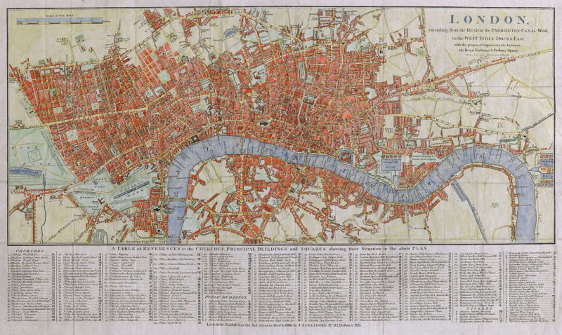
London, extending from the Head of the Paddington...
Russell (John)
James Stratford, London
£375.00
Offered by Robert Hall Pictures

Elements of Skateing. Attitude! Attitude is every...
Gillray (James)
Hannah Humphrey
£375.00
Offered by Robert Hall Pictures
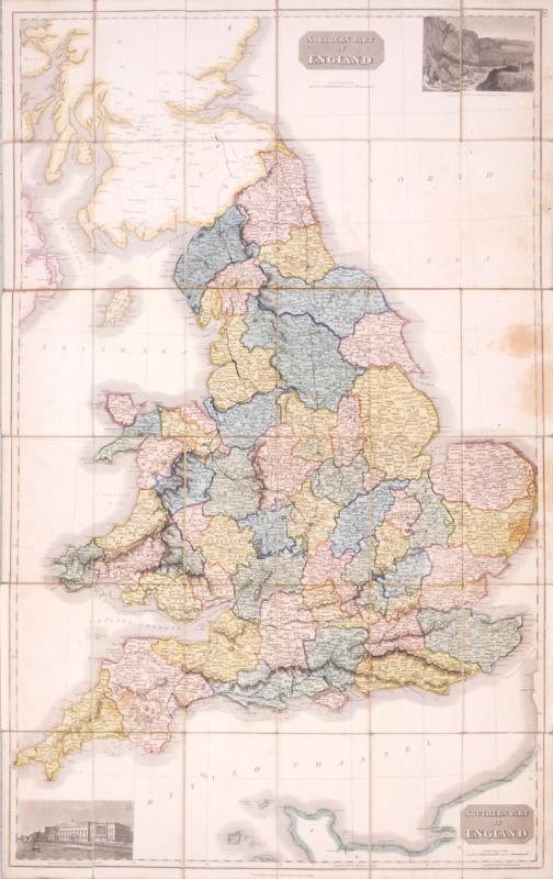
Northern Part of England [with] Southern Part of E...
Thomson (John)
£270.00
Offered by Robert Hall Pictures
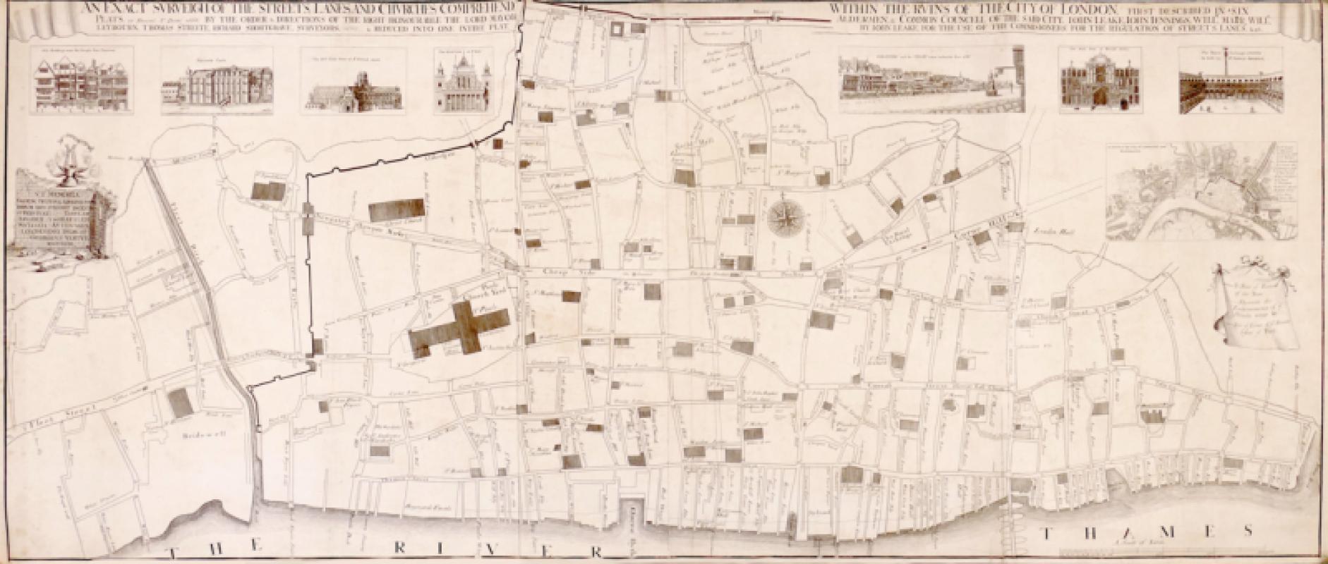
An Exact Surveigh of the Streets, Lanes, and Churc...
Vertue (George)
The Society of Antiquaries
£1275.00
Offered by Robert Hall Pictures
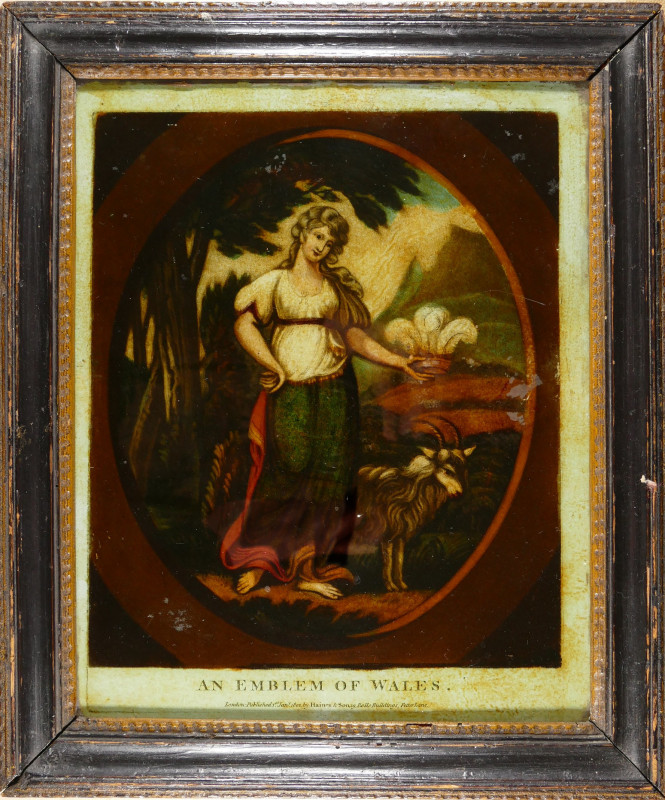
An Emblem of Wales
Haines (John) & Son. Publishers.
Haines & Sons, 19 Rolls Buildings, Fetter Lane
£375.00
Offered by Robert Hall Pictures
Friends of the PBFA
For £10 get free entry to our fairs, updates from the PBFA and more.
Please email info@pbfa.org for more information