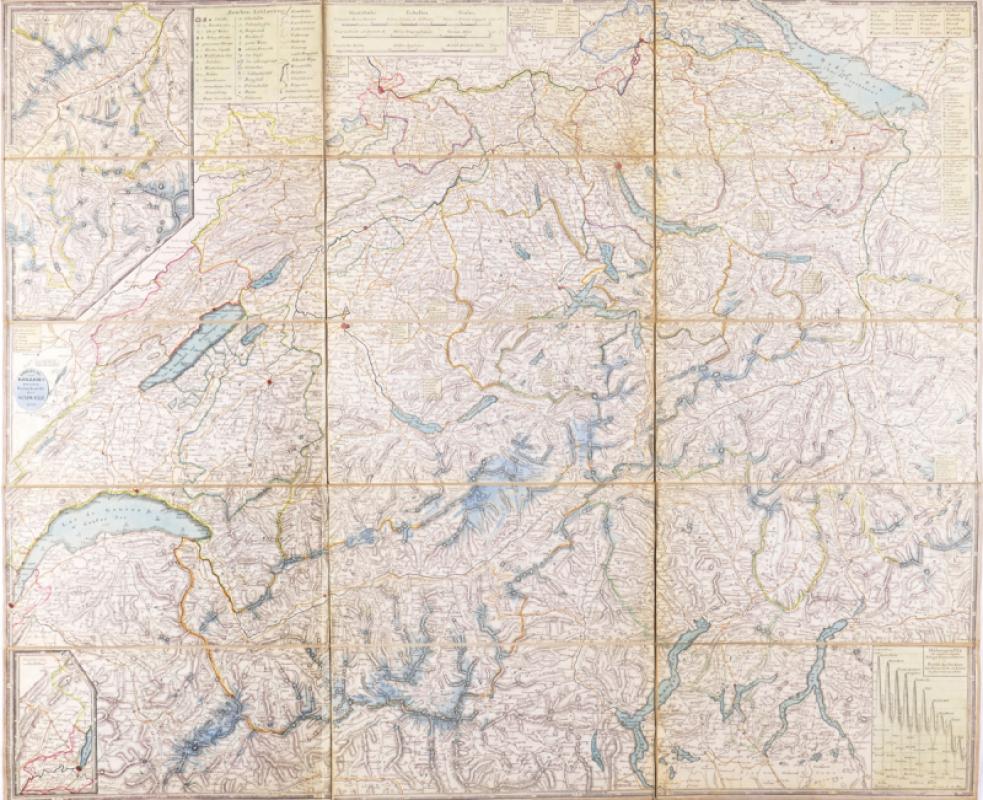
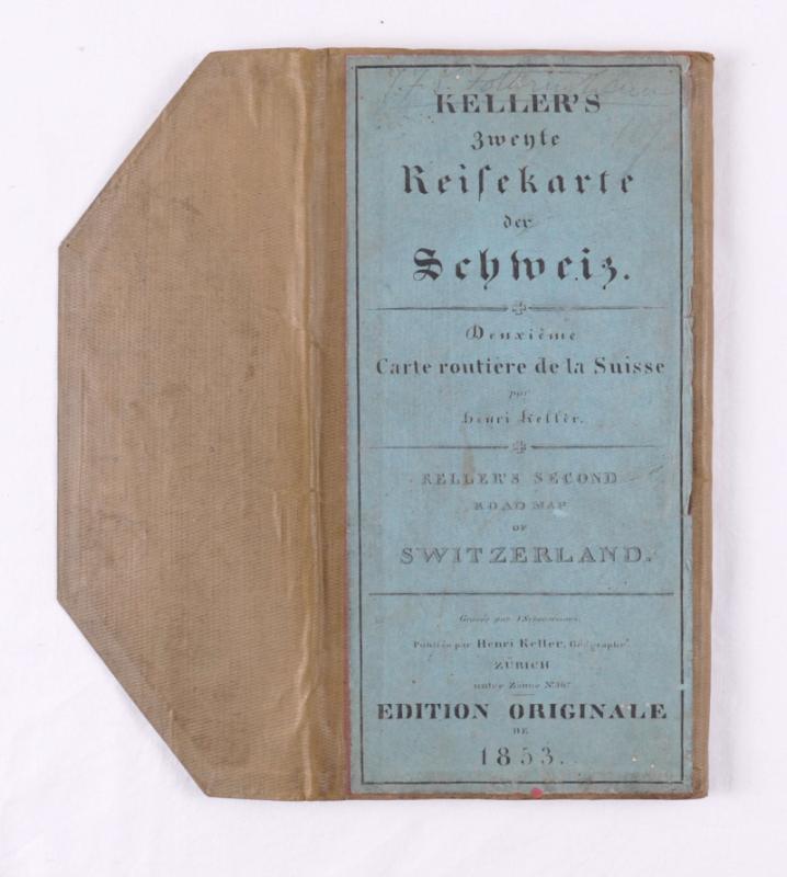
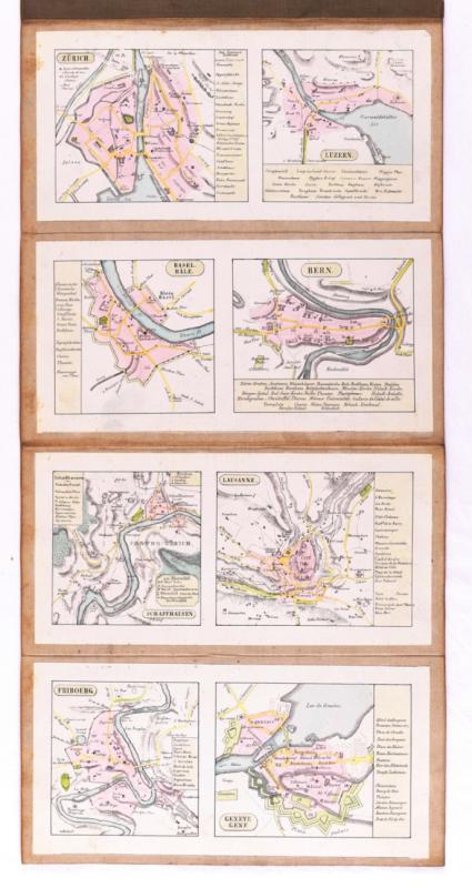
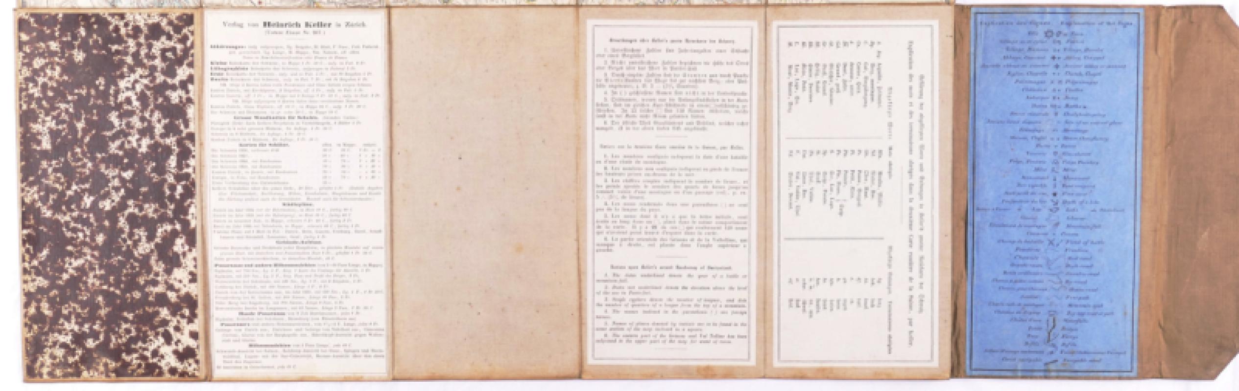
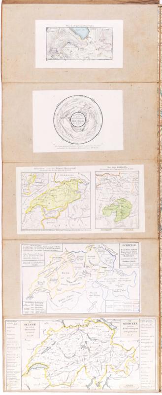
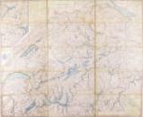
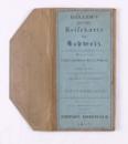
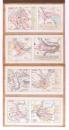
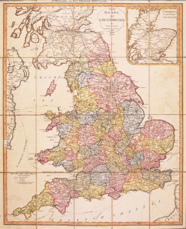
Keller's Second Road Map of Switzerland,
Book Description
Dealer Notes
Other books
If you liked the book you've just seen, you might be interested in other books from the same dealer below.
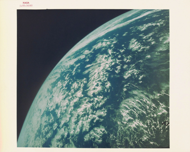
Spectacular view of the curvature of the earth fro...
NASA
NASA
£400.00
Offered by Robert Hall Pictures
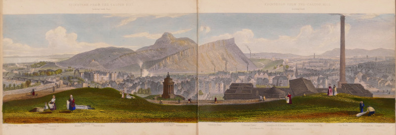
Edinburgh, A Complete View of The City and Environ...
Steuart (T.)
Ackermann & Co.; and J. Menzies, London and Edinburgh
£750.00
Offered by Robert Hall Pictures
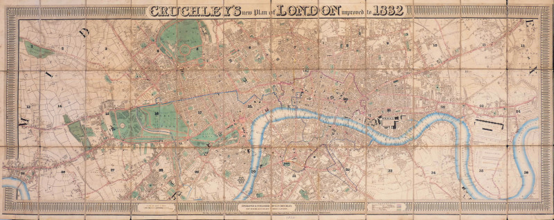
Cruchley's New Plan of London improved to 1832
Cruchley (George Frederick)
George Frederick Cruchley
£2400.00
Offered by Robert Hall Pictures
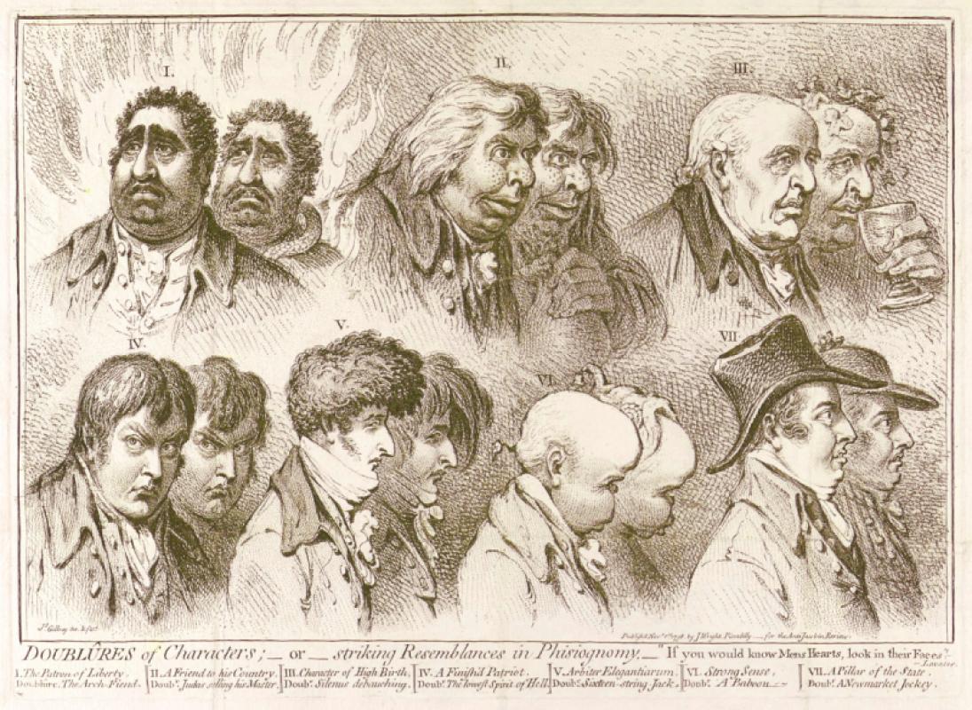
Doublûres of Characters; _ or _ striking Resemblan...
Gillray (James)
John Wright
£675.00
Offered by Robert Hall Pictures

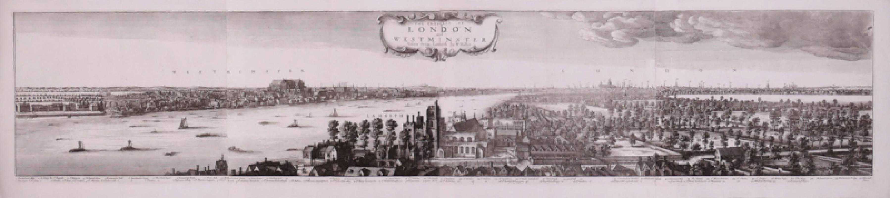
The Prospect of London and Westminster Taken from...
Hollar (Wenceslaus)
[Laurie & Whittle]
£5250.00
Offered by Robert Hall Pictures
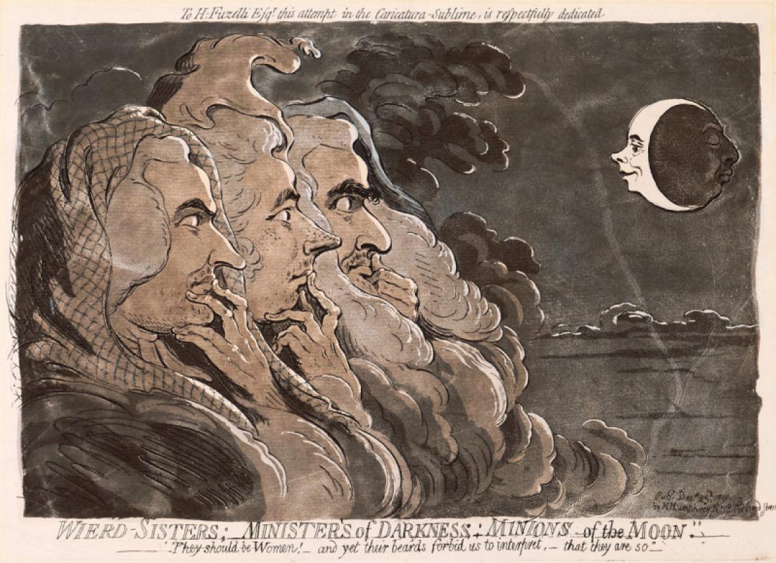
Wierd-Sisters; Ministers of Darkness; Minions of t...
Gillray (James)
Hannah Humphrey
£1950.00
Offered by Robert Hall Pictures
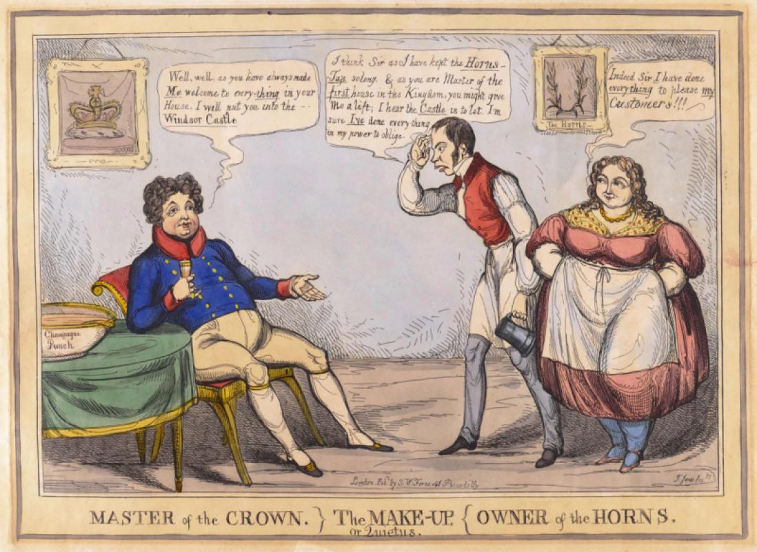
Master of the Crown} The Make-Up, or Quietus, {Own...
Jones (Thomas Howell)
S.W. Fores
£150.00
Offered by Robert Hall Pictures
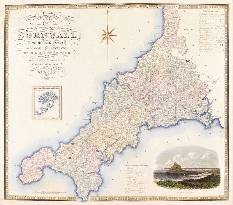
Map of the County of Cornwall from an Actual Surve...
Greenwood (Christopher and John)
Greenwood & Co
£250.00
Offered by Robert Hall Pictures
Friends of the PBFA
Please email info@pbfa.org for more information