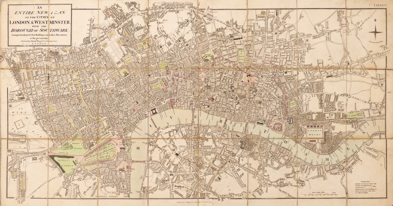
An Entire New Plan of the Cities of London & Westminster, with the Borough of Southwark, Comprehending the New Buildingsand other Alterations to the present time
Book Description
engraved map with original hand-colouring, 465 x 895 mm. (18 1/4 x 35 1/4 in), dissected and linen-backed with slight splitting on old folds, the verso partially reinforced with old newspaper, faint surface dust, slight of inking to two letters in the title, [Howgego 227 (15)]
Dealer Notes
detailed plan of inner London, first issued around 1803, extending from Pentonville to Newington Butts, and from Paddington and Hyde Park to Stepney. This edition, marked as the Vth as had all since 1806, is updated to include the Grand Surrey Outer Dock, in the lower right corner, in place of the compass rose and engraver’s name, now moved to the upper right corner. The title is enclosed in a bordered panel overlapping the upper left corner of the plan
Author
Mogg (Edward)
Date
1819
Other books
If you liked the book you've just seen, you might be interested in other books from the same dealer below.
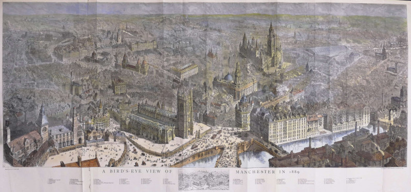
A Bird's-Eye View of Manchester in 1889
Brewer (Henry William)
The Graphic, London
£695.00
Offered by Robert Hall Pictures


"There'll be a welcome in the hillside for you boy...
Scarfe (Gerald, C.B.E.)
Curwen Studio
£495.00
Offered by Robert Hall Pictures
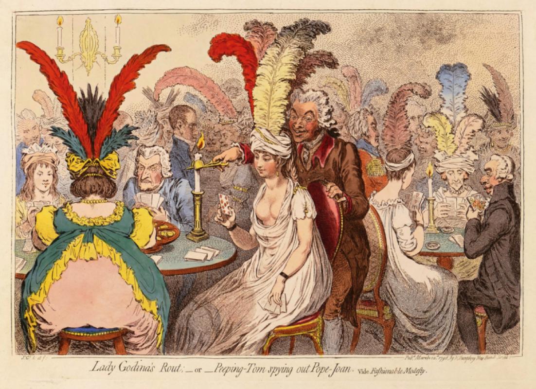
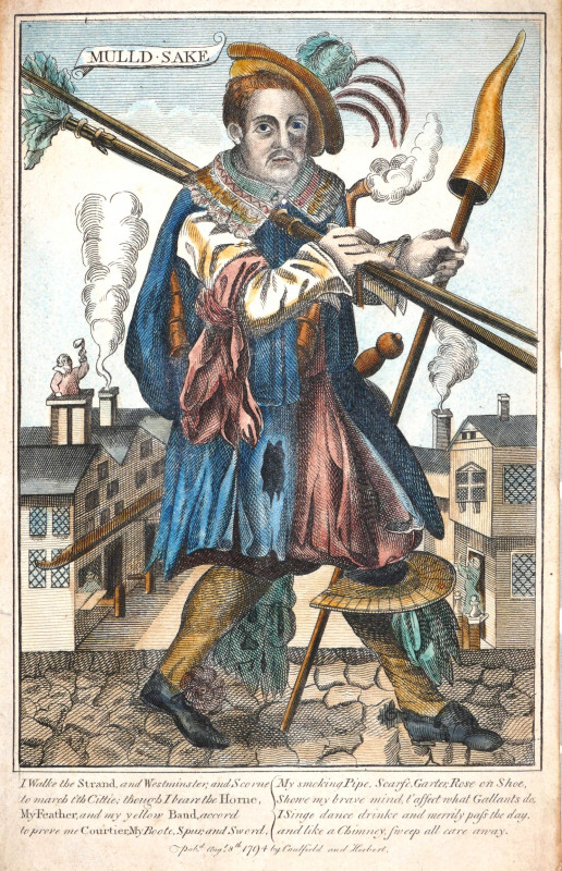
Lady Godina’s Rout: _ or _ Peeping-Tom spying out...
Gillray (James)
Hannah Humphrey
£375.00
Offered by Robert Hall Pictures
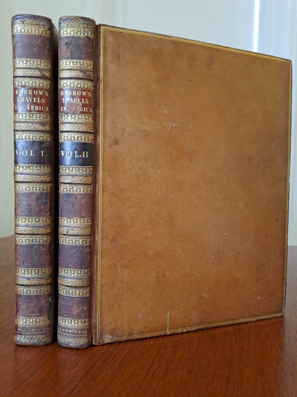
Travels into the Interior of Southern Africa.
Barrow (John)
London, for T. Cadell & W. Davies
£1000.00
Offered by Robert Hall Pictures
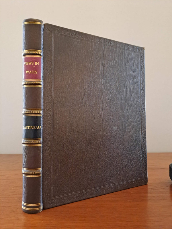
Wales Illustrated, in a series of views
Gastineau (Henry)
London, Jones & Co.
£150.00
Offered by Robert Hall Pictures
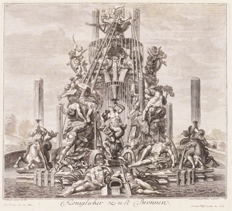
Königlicher Lust Bronnen; Zweijter Königl. Lust Br...
Decker (Paul)
Augsburg, Jeremias Wolff
£800.00
Offered by Robert Hall Pictures
Friends of the PBFA
For £10 get free entry to our fairs, updates from the PBFA and more.
Please email info@pbfa.org for more information